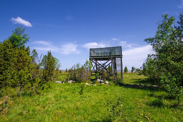
Võnnussaare observation tower
Võimalused
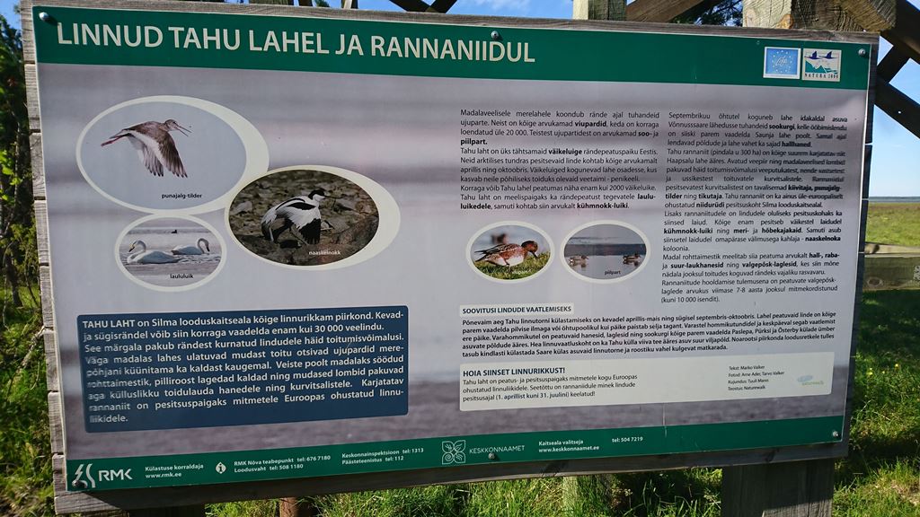
The Agriculture and Food Board warns about the spread of avian influenza. Please stay away from dead birds outdoors and ensure that your pets do not come into contact with them.
NB! If you find a dead bird, do not touch it or move it anywhere! Please report it to the Agriculture and Food Board by calling 605 4767 or 1247.
The access road to the Võnnussaare observation tower may be muddy and at times difficult to pass.
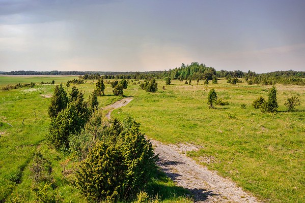
Suitable for a solitary wanderer interested in birds and nature. Beautiful view to the Tahu Bay. The road is not marked, it is necessary to bring a GPS device.
Sights
About 2 km south of the Võnnussaare observation tower, you can visit the largest glacial erratic boulder in north-western Estonia: the Truumann or Kalevipoeg boulder.
Amenities
Observation tower
Parking
Leave your car at the Saare manor.
Additional information
Before going on a nature walk please read the rules of conduct
Restrictions
Recreational fishing in Silma Nature Reserve is prohibited from 1 March to 30 June. Motorised water traffic is prohibited. Cycling outside designated roads and paths and motorised vehicle traffic and parking outside designated roads and parking areas is prohibited in the nature reserve. Camping and making campfire is allowed in designated places only.
Further information can be obtained from the Environmental Board +372 662 5999, info@keskkonnaamet.ee


By clicking on the map it will open the map application larger in a new window.
Long-Lat WGS 84
Latitude: 59.002956
Longitude: 23.598189
L-EST 97x: 476909
L-EST 97y: 6540514