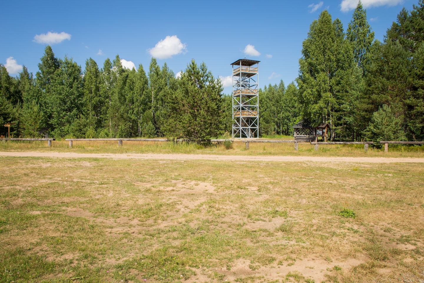
Tõõrakõrve campfire site
Võimalused
The Agriculture and Food Board warns about the spread of avian influenza. Please stay away from dead birds outdoors and ensure that your pets do not come into contact with them.
NB! If you find a dead bird, do not touch it or move it anywhere! Please report it to the Agriculture and Food Board by calling 605 4767 or 1247.
Campfire site by the RMK Penijõe-Aegviidu-Kauksi Hiking Route by the woodlot. Nearby is the Defense Forces heavy equipment transport road.
Hiking options
RMK Penijõe-Aegviidu-Kauksi Hiking Route
Camping
Maximum number of tents (for 4) allowed is 4.
Amenities
Outdoor fireplace, picnic table with shelter, 4 benches, firewood shelter, information board, DC, waste bin
Additional information
Parking not available. Before going on a nature walk please read the rules of conduct
Restrictions
Access only from the RMK Hiking Route.


By clicking on the map it will open the map application larger in a new window.
Long-Lat WGS 84
Latitude: 59.274630
Longitude: 25.891802
L-EST 97x: 607849.26
L-EST 97y: 6572228.69