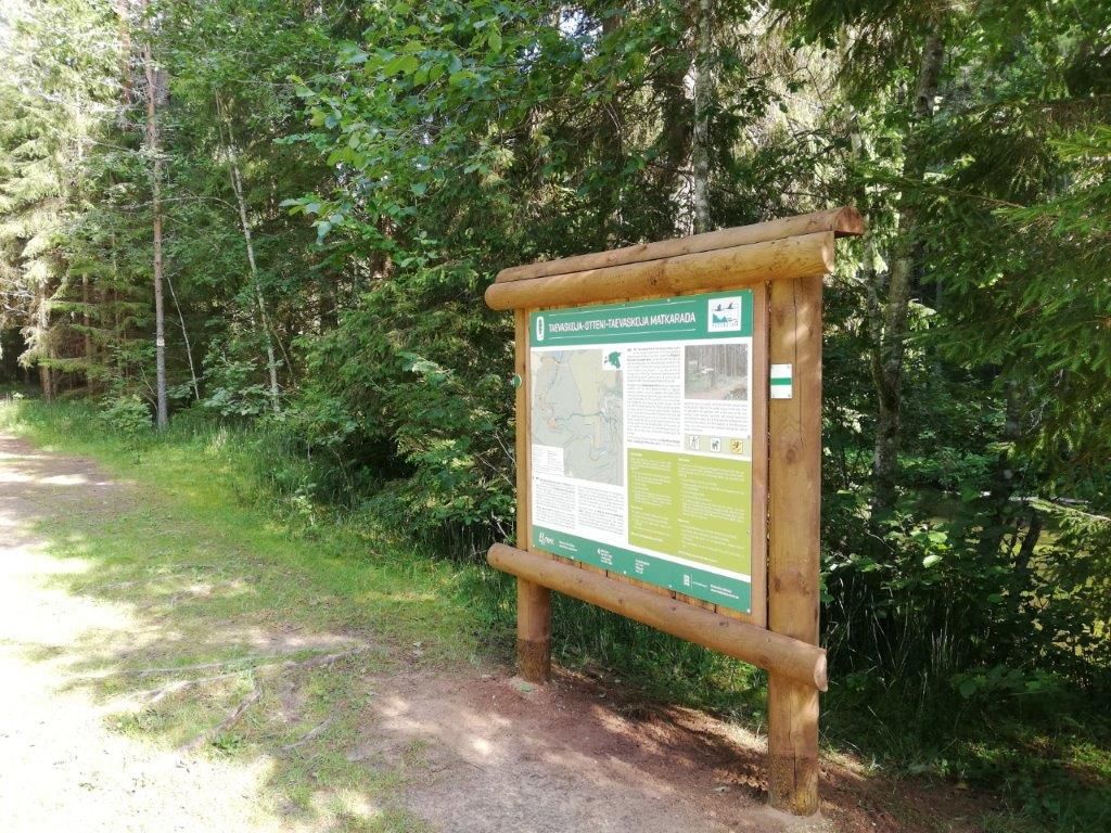
Taevaskoja-Otteni-Taevaskoja hiking trail (3,8 km)
Võimalused
The Agriculture and Food Board warns about the spread of avian influenza. Please stay away from dead birds outdoors and ensure that your pets do not come into contact with them.
NB! If you find a dead bird, do not touch it or move it anywhere! Please report it to the Agriculture and Food Board by calling 605 4767 or 1247.
The starting point of the Taevaskoja-Otten-Taevaskoja hiking trail can be reached by walking along the Taevaskoja hiking trail. This spirited circular route starts at Suur Taevaskoda and takes you along the Viimse Reliikvia trails, bringing you back to Suur Taevaskoda. From there, you can follow the Taevaskoja hiking trail back to the car park. The total length of the trail will is 6.8 km.
The trail is only for walking!
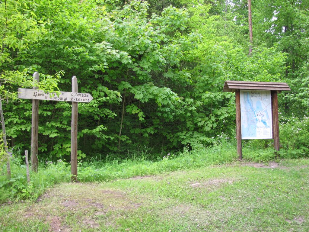
Sights
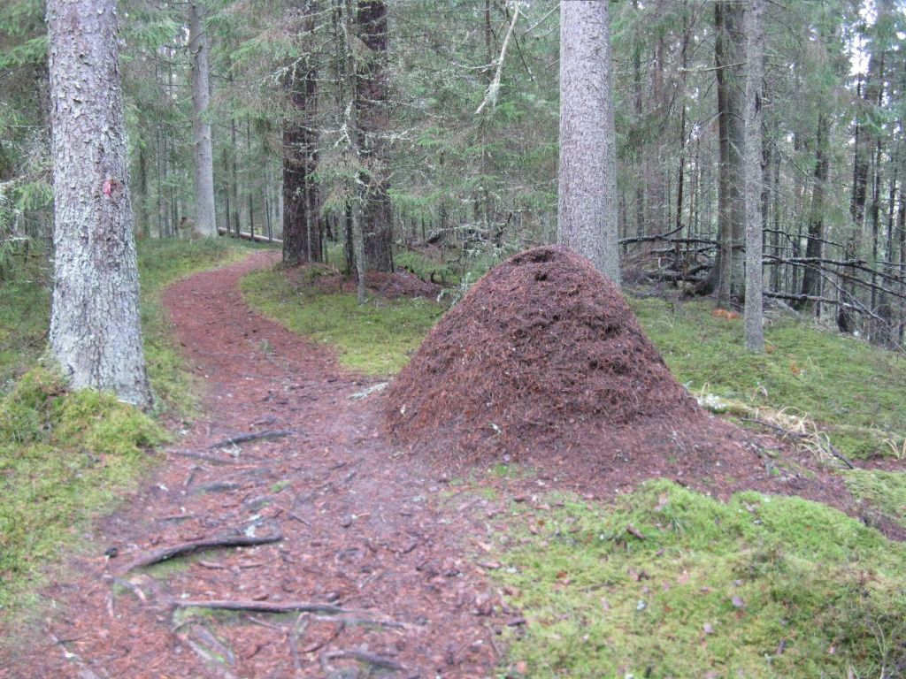
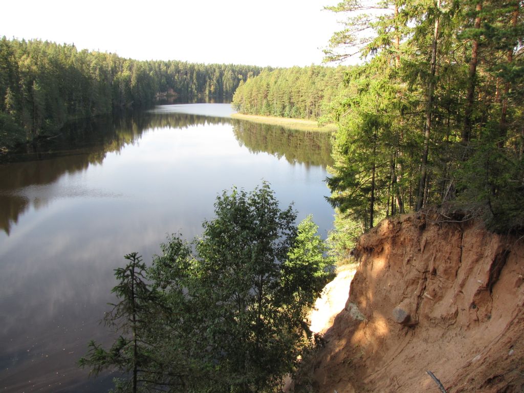
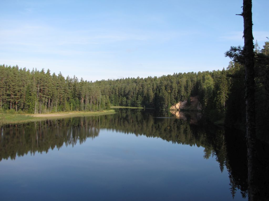
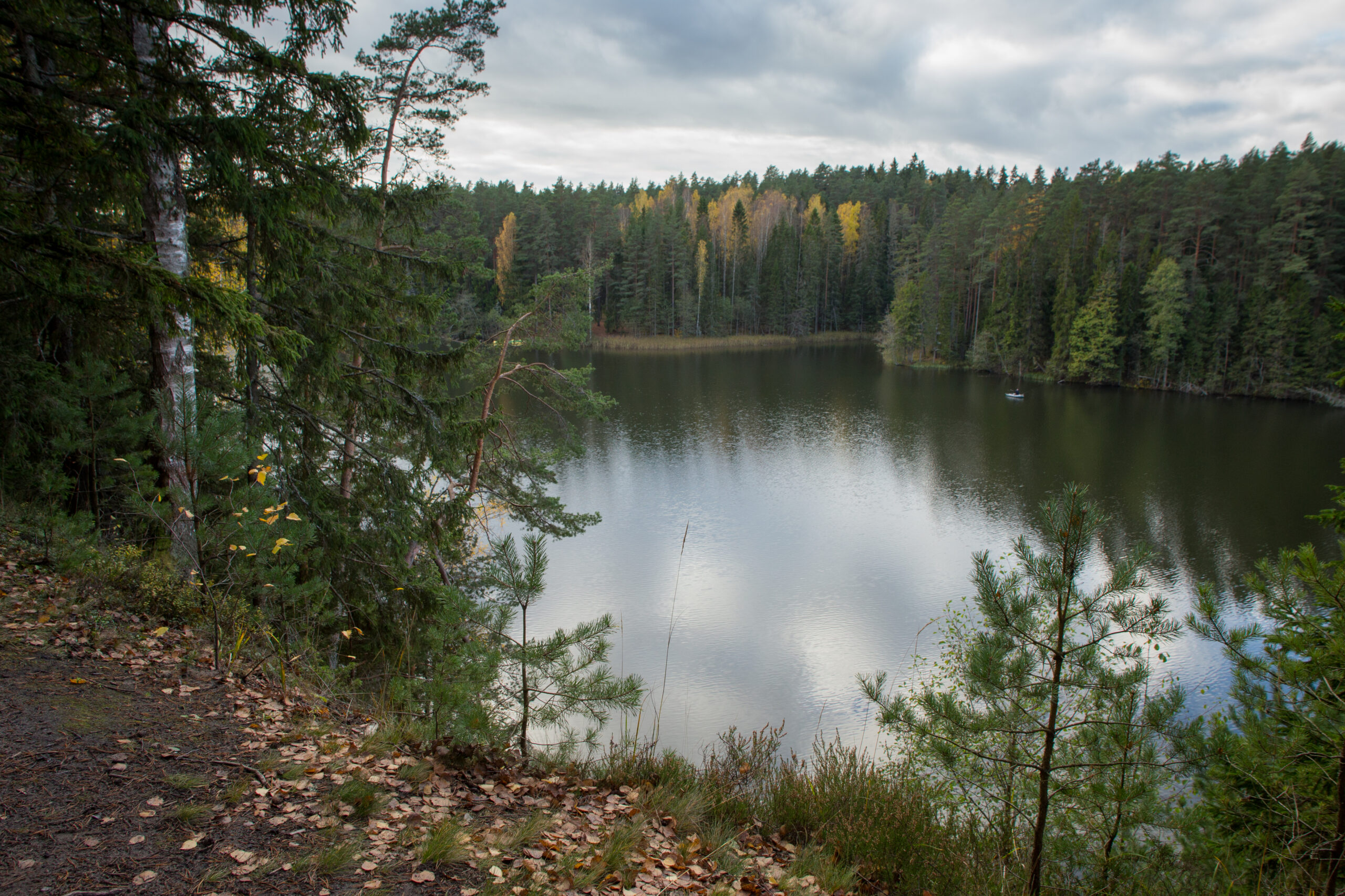
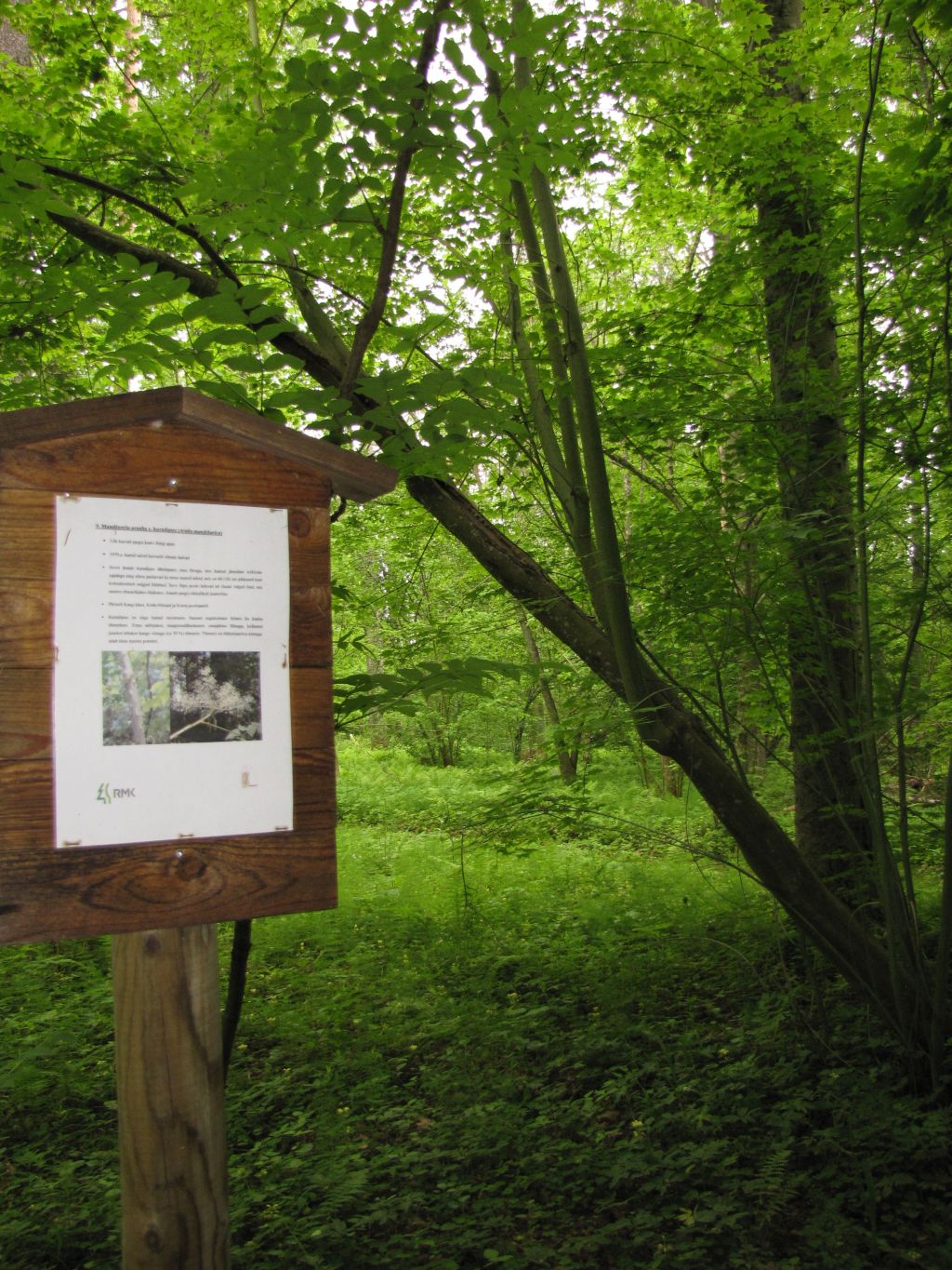
Suur Taevaskoda, partly preserved Otteni/Valgesoo watermill, Otteni arched watermill bridge, miniature canyon, picturesque views to Ahja River, information board by bushwhackers` hollow.
Camping
The nearest is Otteni campfire site.
Water
Non-potable water from Ahja River.
Amenities
Indicated with green signs, supported with information boards
Parking
Parking in Taevaskodade parking area for 30 cars.
Additional information
Before going on a nature walk please read the rules of conduct
Restrictions
The trail is located in the Ahja River Valley Landscape Protection Area. Further information can be obtained from the Environmental Board +372 662 5999, info@keskkonnaamet.ee


By clicking on the map it will open the map application larger in a new window.
From there on foot to Taevaskodade hiking trail, Taevaskoja-Otteni-Taevaskoja hiking trail starts under Suur-Taevaskoda.
Long-Lat WGS 84
Latitude: 58.108083
Longitude: 27.051642
L-EST 97x: 679842,6
L-EST 97y: 6444864,4