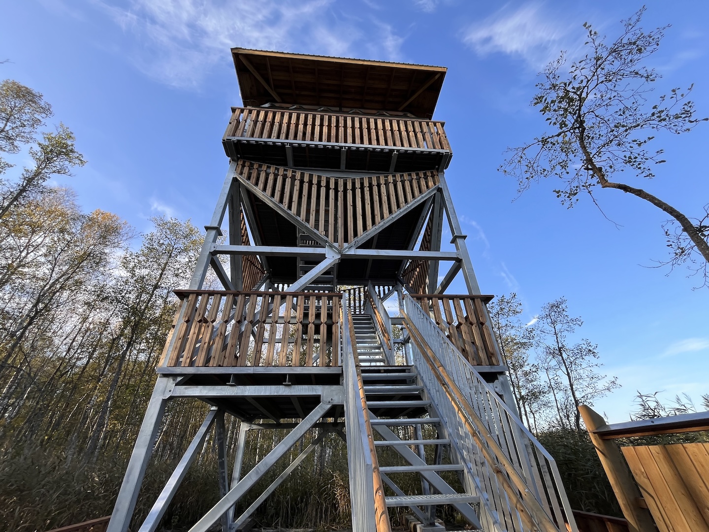
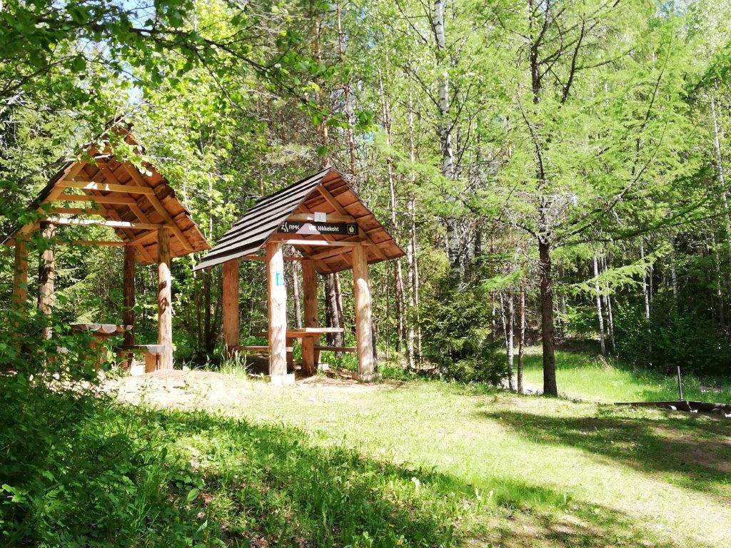
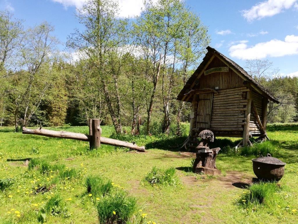
Laululuige campfire site
Võimalused
The Agriculture and Food Board warns about the spread of avian influenza. Please stay away from dead birds outdoors and ensure that your pets do not come into contact with them.
NB! If you find a dead bird, do not touch it or move it anywhere! Please report it to the Agriculture and Food Board by calling 605 4767 or 1247.
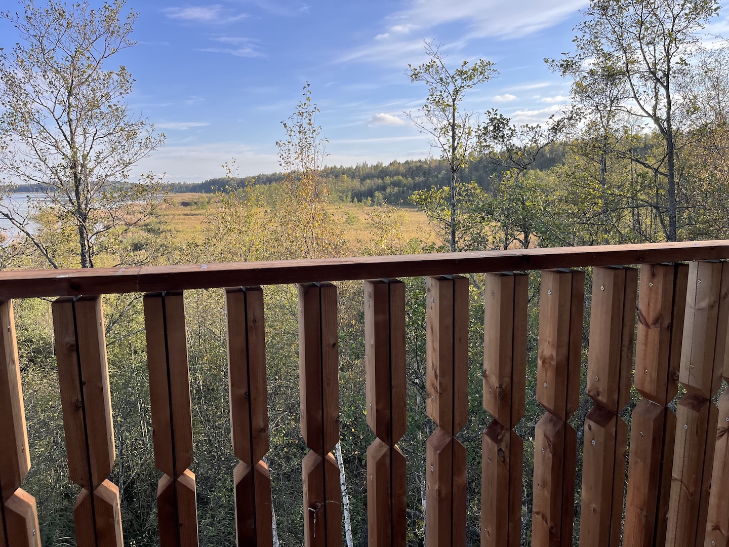
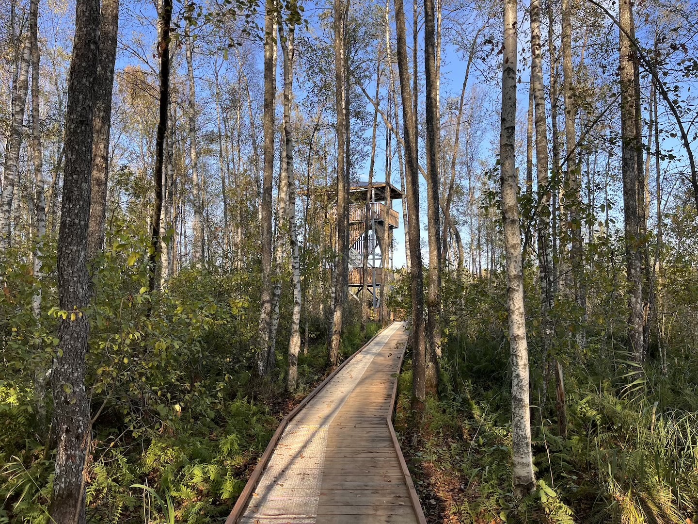
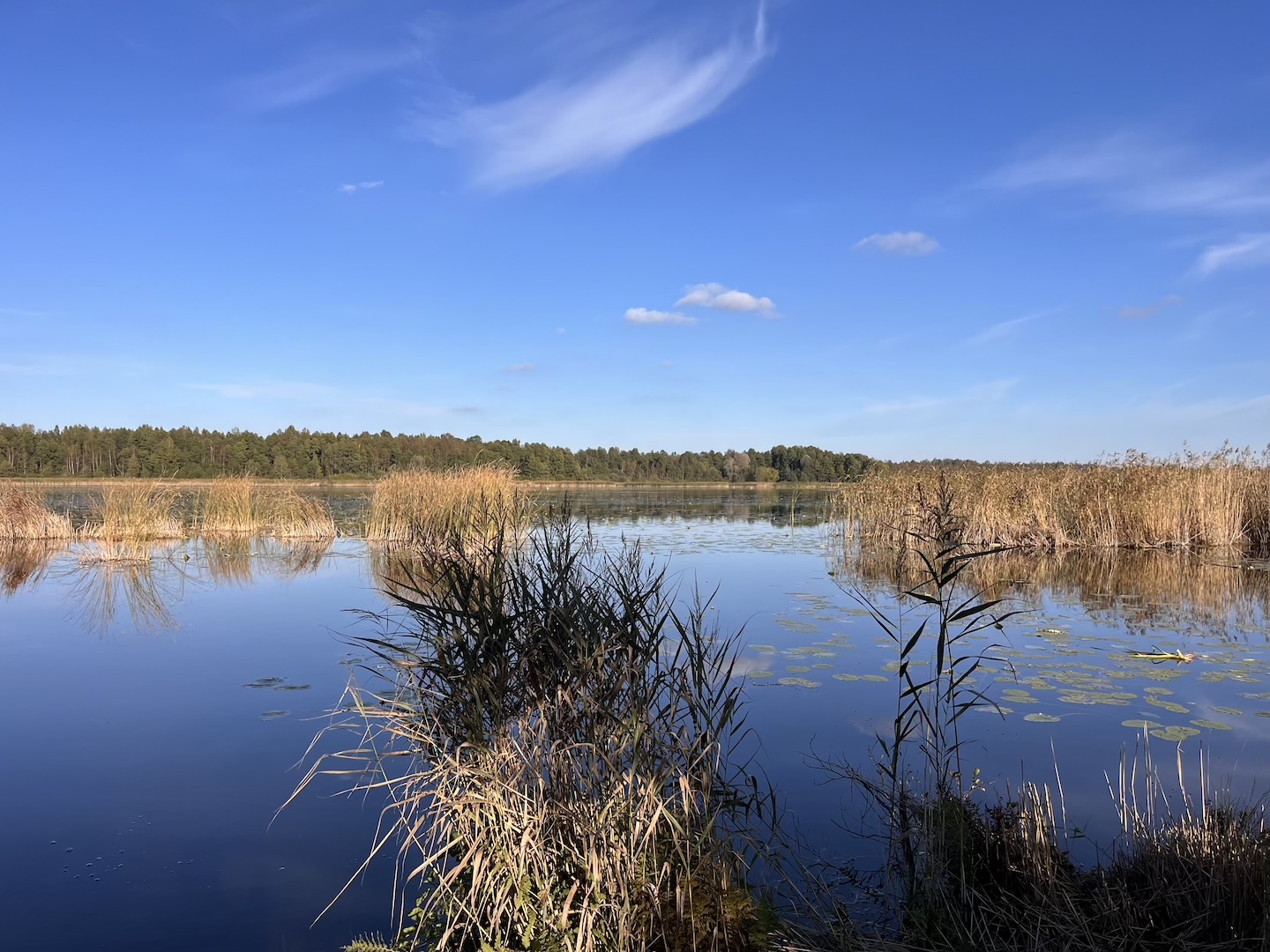
Laululuige campfire site by the Ilmatsalu River is a suitable place for a walkers or fisherman.
Water
Not drinkable water from Ilmatsalu River
Camping
Maximum number of tents (for 4) allowed is 2.
Amenities
Table-benches with a roof, an open fireplace with grillrest, a shelter for firewood, dry toilet
Parking
Parking for 4 cars in Kotka campfire site.
Additional information
The path used to reach the campfire site may be impassable in high water. Flood risk in wet periods.
Before going on a nature walk please read the rules of conduct


By clicking on the map it will open the map application larger in a new window.
Long-Lat WGS 84
Latitude: 58.398119
Longitude: 26.534887
L-EST 97x: 648184,2
L-EST 97y: 6475876,7