The Agriculture and Food Board warns about the spread of avian influenza. Please stay away from dead birds outdoors and ensure that your pets do not come into contact with them. NB! If you find a dead bird, do not touch it or move it anywhere! Please report it to the Agriculture and Food Board by calling 605 4767 or 1247.
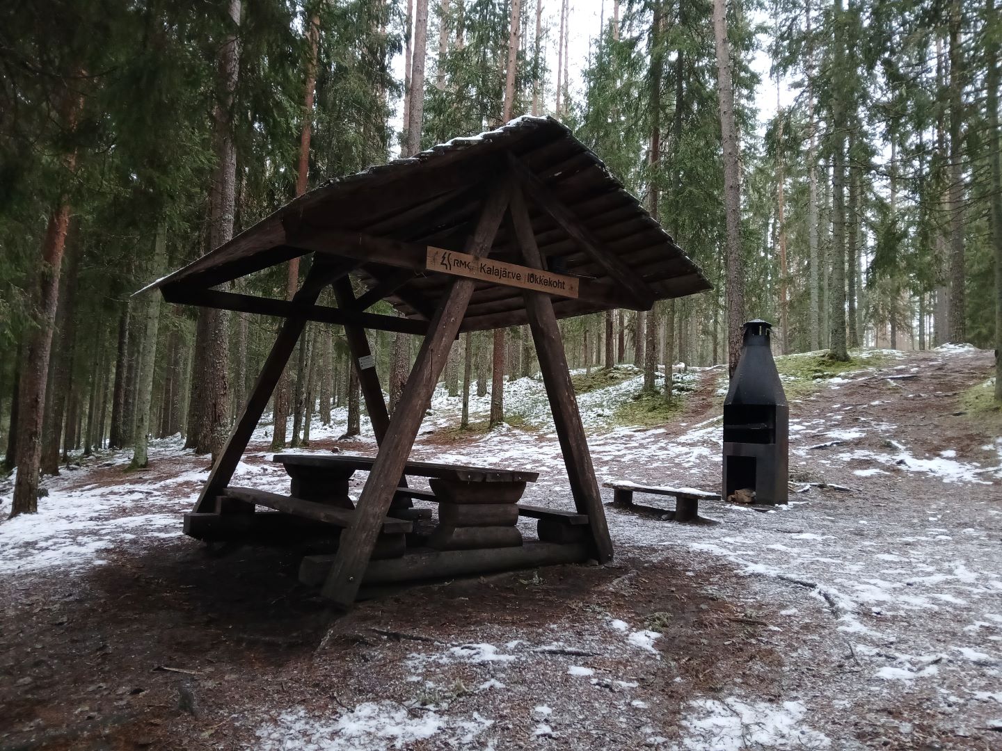
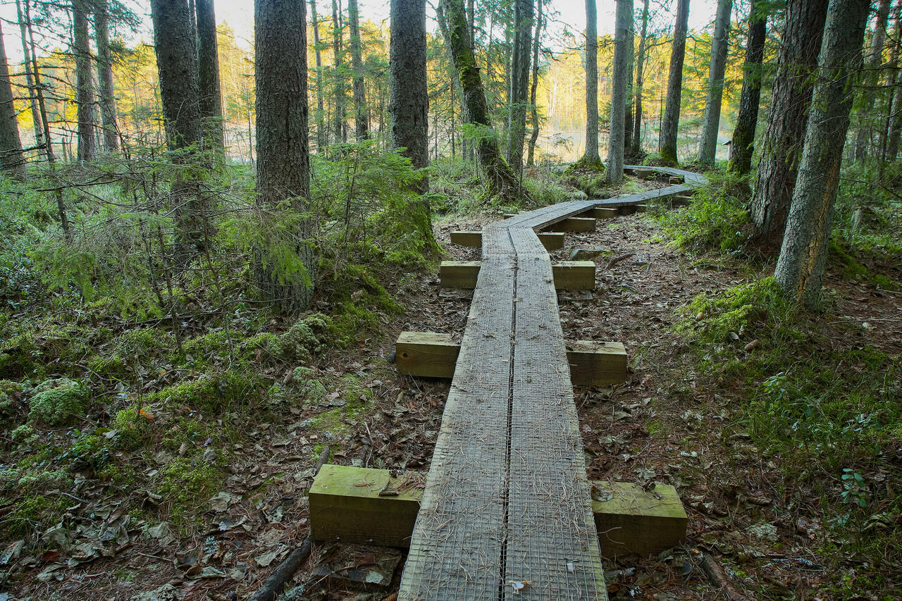
The campfire site is located in a deep pine forest by Kakerdaja study trail.
The campfire site is situated in Kõrvemaa landscape reserve. Further information can be obtained from the Environmental Board +372 662 5999, info@keskkonnaamet.ee
Contact
Telephone: +372 604 7212
E-mail: info.aegviidu@rmk.ee
Object type: campfire site
Location info
Location : Harju County, Aegviidu-Kõrvemaa Recreation Area
Anija municipality, Harju County
Navigation instructions : On Jäneda–Perila road (Road no. 11125), 13 km from Jäneda, turn left (follow the sign “Kakerdaja”) and drive 1.8 km along the gravel road to the sign that directs to the parking area, which is 200 m from the turn.
By clicking on the map it will open the map application larger in a new window.
Telephone:
+372 604 7212
E-mail:
info.aegviidu@rmk.ee
Object type:
campfire site
Location info
Location:
Harju County, Aegviidu-Kõrvemaa Recreation Area
Anija municipality, Harju County
Navigation instructions:
On Jäneda–Perila road (Road no. 11125), 13 km from Jäneda, turn left (follow the sign “Kakerdaja”) and drive 1.8 km along the gravel road to the sign that directs to the parking area, which is 200 m from the turn.