The Agriculture and Food Board warns about the spread of avian influenza. Please stay away from dead birds outdoors and ensure that your pets do not come into contact with them. NB! If you find a dead bird, do not touch it or move it anywhere! Please report it to the Agriculture and Food Board by calling 605 4767 or 1247.
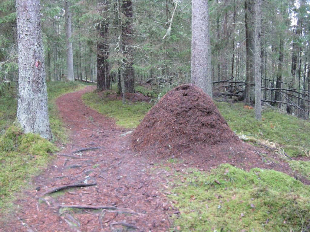
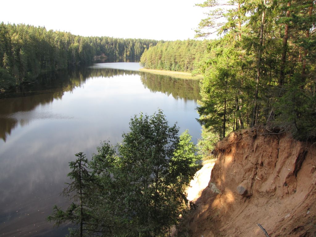
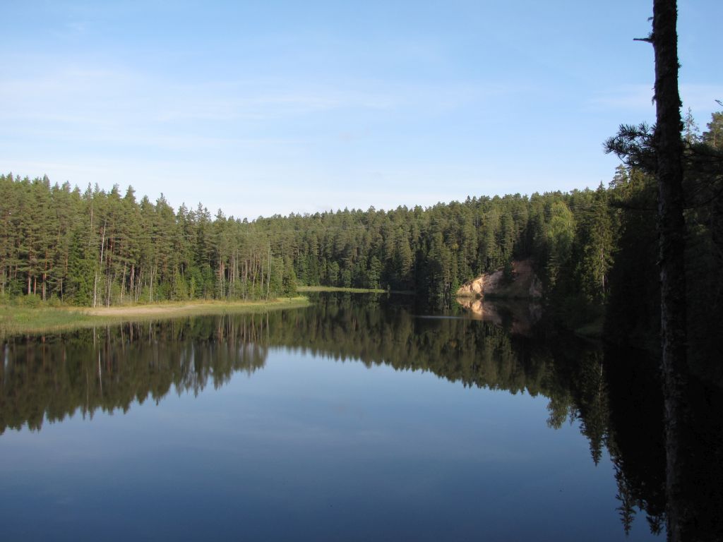
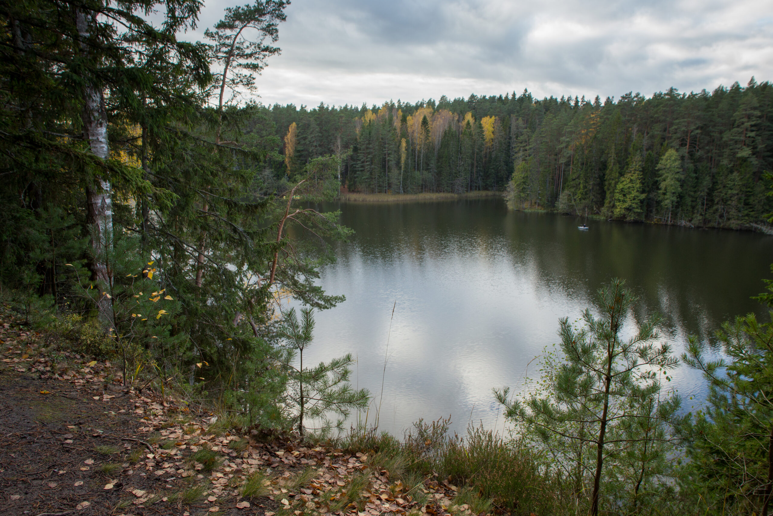
The 11,8 km trail starts and ends next to Kiidjärve Visitor Centre and runs along the picturesque bank of Ahja River up to Saesaare weir and bridge and comes back along the ohter bank of the river. The hiking trail is marked with blue dots on signposts and trees. The trail is only for walking!
Parking
Parking for 10 cars in the Visitor Centre`s parking lot.
Amenities
The hiking trail map is available at the Kiidjärve Visitor Centre.
Additional information
The trail runs along the high river banks, there are high rises and deep falls on the trail - be careful! Before going on a nature walk please read the rules of conduct
Restrictions
The trail is located in the Ahja River Valley Landscape Protection Area. Further information can be obtained from the Environmental Board +372 662 5999, info@keskkonnaamet.ee
Contact
Telephone: +372 676 7122
E-mail: info.kiidjarve@rmk.ee
Object type: hiking trail
Location info
Location : Põlva County, Kiidjärve-Kooraste Recreation Area
Kiidjärve village, Põlva municipality, Põlva County
Navigation instructions : Drive from Tartu towards Põlva along the Põlva -Reola road. On Koorvere crossroad, 10 km before Põlva, turn to the left towards Kiidjärve. Drive 4 km along Akste-Häätaru road (road nr 18138). There is Kiidjärve Visitor Centre`s parking lot on the left 0,6 km after the bus stop "Kiidjärve park". Move (ca 200 m) over the bridge (pass the house) until the signpost leads to the trail.
By clicking on the map it will open the map application larger in a new window.
Telephone:
+372 676 7122
E-mail:
info.kiidjarve@rmk.ee
Object type:
hiking trail
Location info
Location:
Põlva County, Kiidjärve-Kooraste Recreation Area
Kiidjärve village, Põlva municipality, Põlva County
Navigation instructions:
Drive from Tartu towards Põlva along the Põlva -Reola road. On Koorvere crossroad, 10 km before Põlva, turn to the left towards Kiidjärve. Drive 4 km along Akste-Häätaru road (road nr 18138). There is Kiidjärve Visitor Centre`s parking lot on the left 0,6 km after the bus stop "Kiidjärve park". Move (ca 200 m) over the bridge (pass the house) until the signpost leads to the trail.