


Kiidjärve-Taevaskoja-Kiidjärve hiking trail (11,8 km)
Võimalused
Foot-and-mouth, a severe animal disease, is currently circulating in Europe and also poses a threat to animals in Estonia. Your help is needed to prevent animals here – sheep, cattle, goats, and other ungulates – from becoming infected. We ask that you please follow some important recommendations.
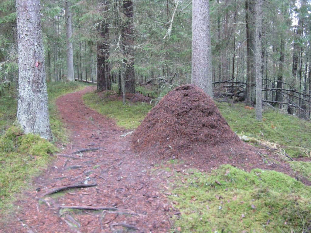
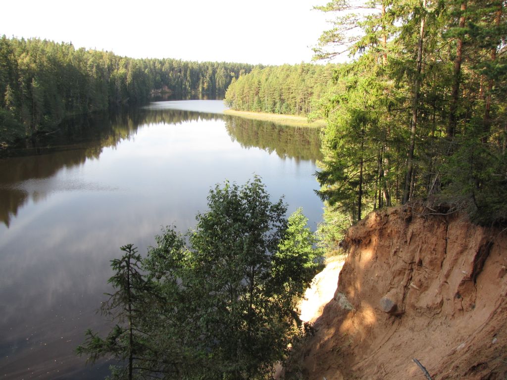
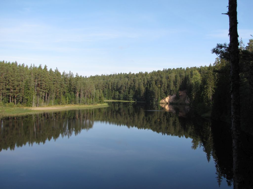
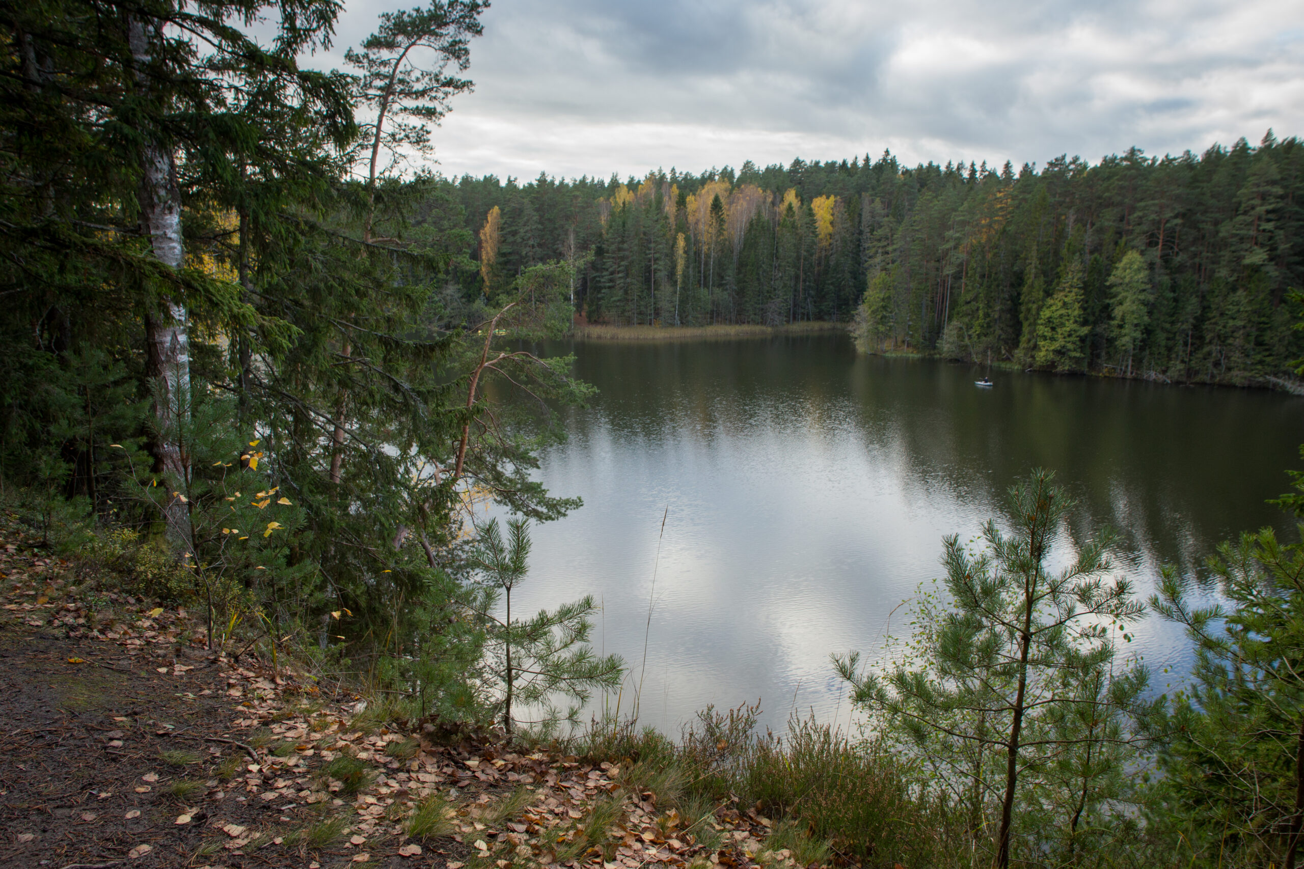
The 11,8 km trail starts and ends next to Kiidjärve Visitor Centre and runs along the picturesque bank of Ahja River up to Saesaare weir and bridge and comes back along the ohter bank of the river. The hiking trail is marked with blue dots on signposts and trees.
The trail is only for walking!
Parking
Parking for 10 cars in the Visitor Centre`s parking lot.
Amenities
The hiking trail map is available at the Kiidjärve Visitor Centre.
Additional information
The trail runs along the high river banks, there are high rises and deep falls on the trail - be careful!
Before going on a nature walk please read the rules of conduct
Restrictions
The trail is located in the Ahja River Valley Landscape Protection Area. Further information can be obtained from the Environmental Board +372 662 5999, info@keskkonnaamet.ee


By clicking on the map it will open the map application larger in a new window.
Long-Lat WGS 84
Latitude: 58.139355
Longitude: 27.018740
L-EST 97x: 677748
L-EST 97y: 6448256