The Agriculture and Food Board warns about the spread of avian influenza. Please stay away from dead birds outdoors and ensure that your pets do not come into contact with them. NB! If you find a dead bird, do not touch it or move it anywhere! Please report it to the Agriculture and Food Board by calling 605 4767 or 1247.
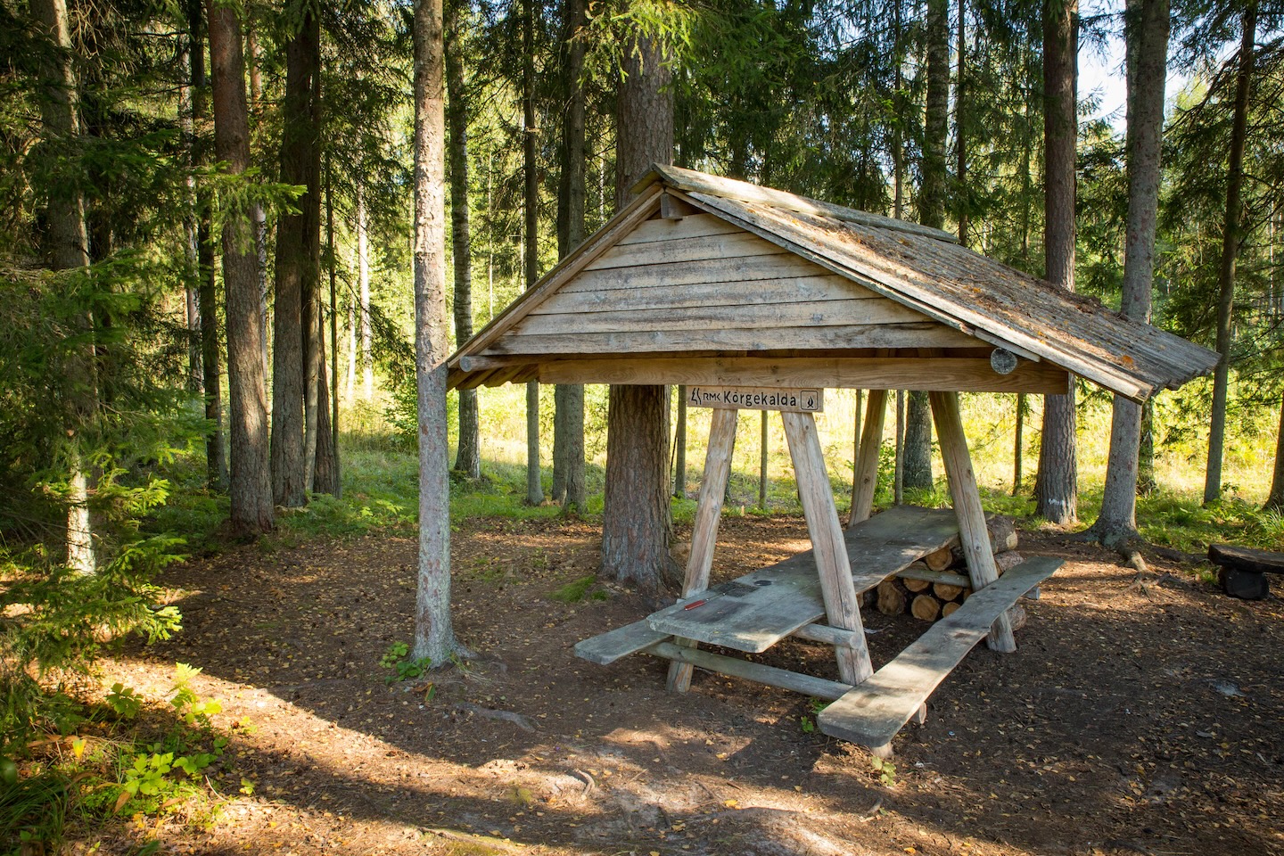
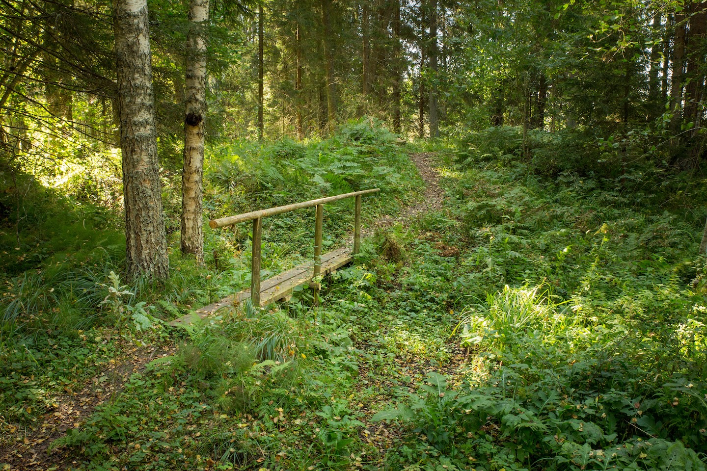
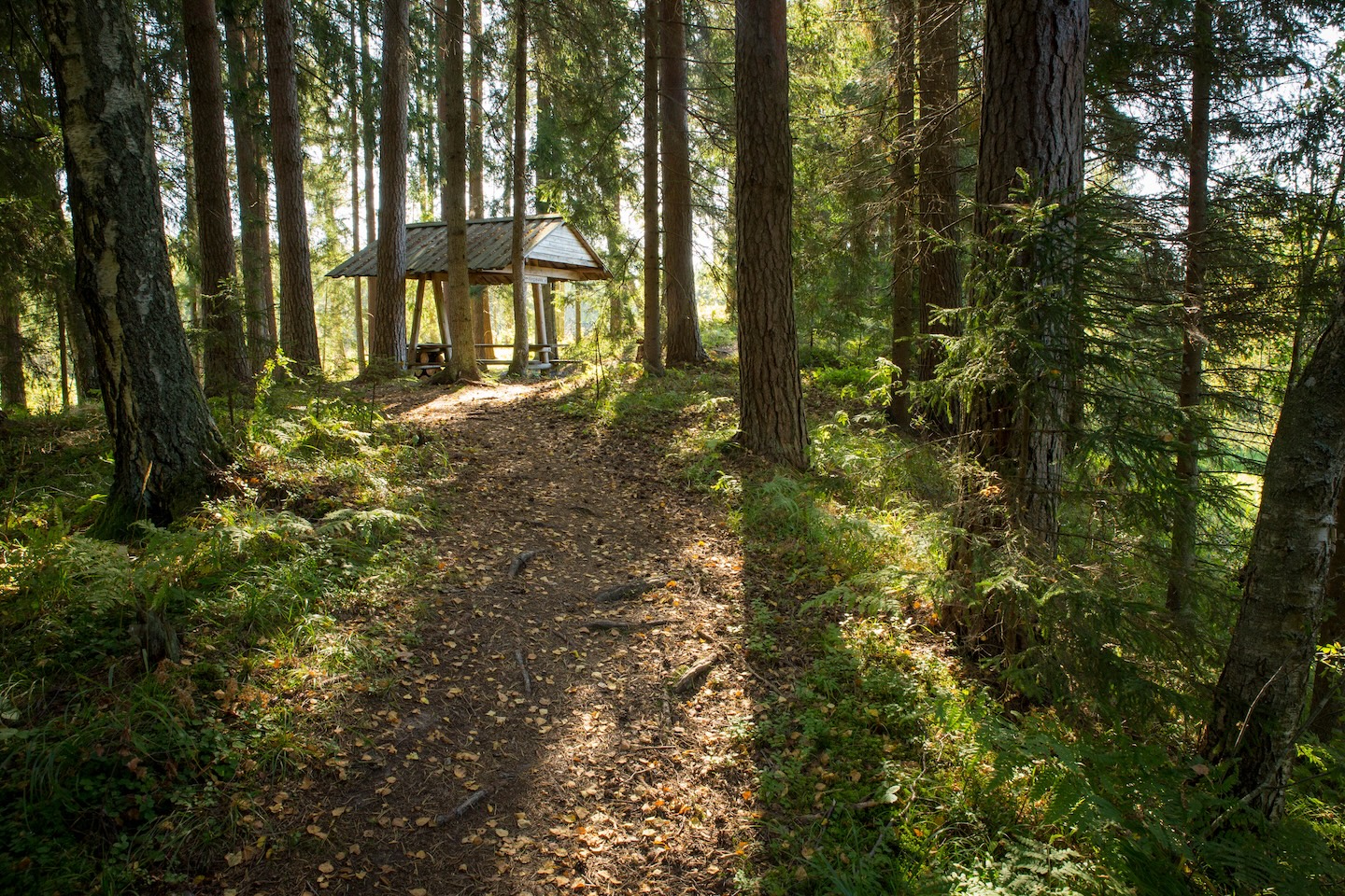
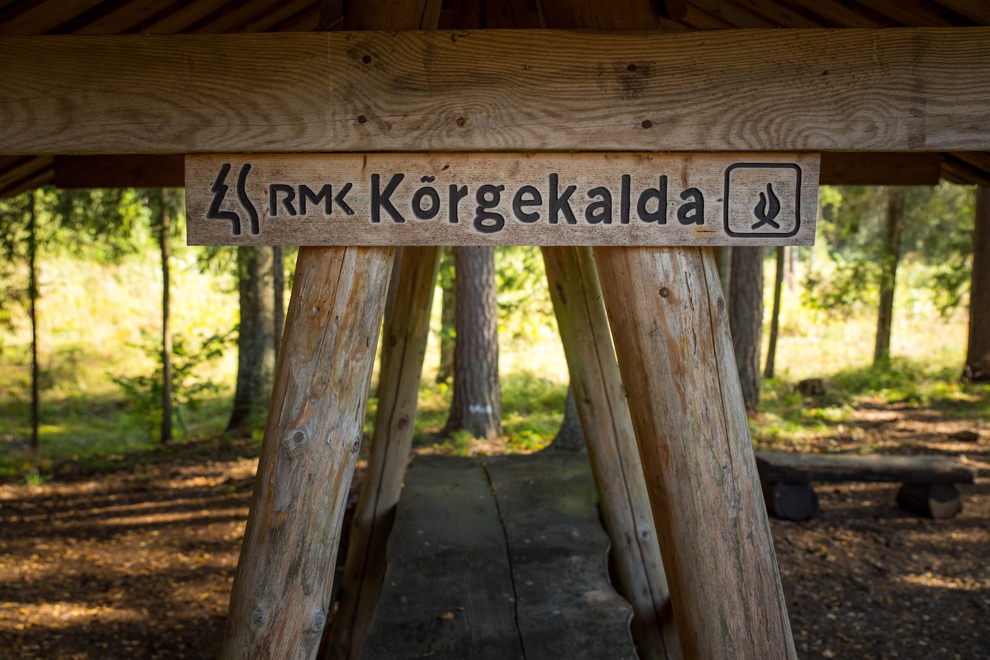
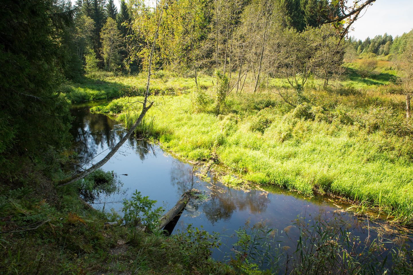
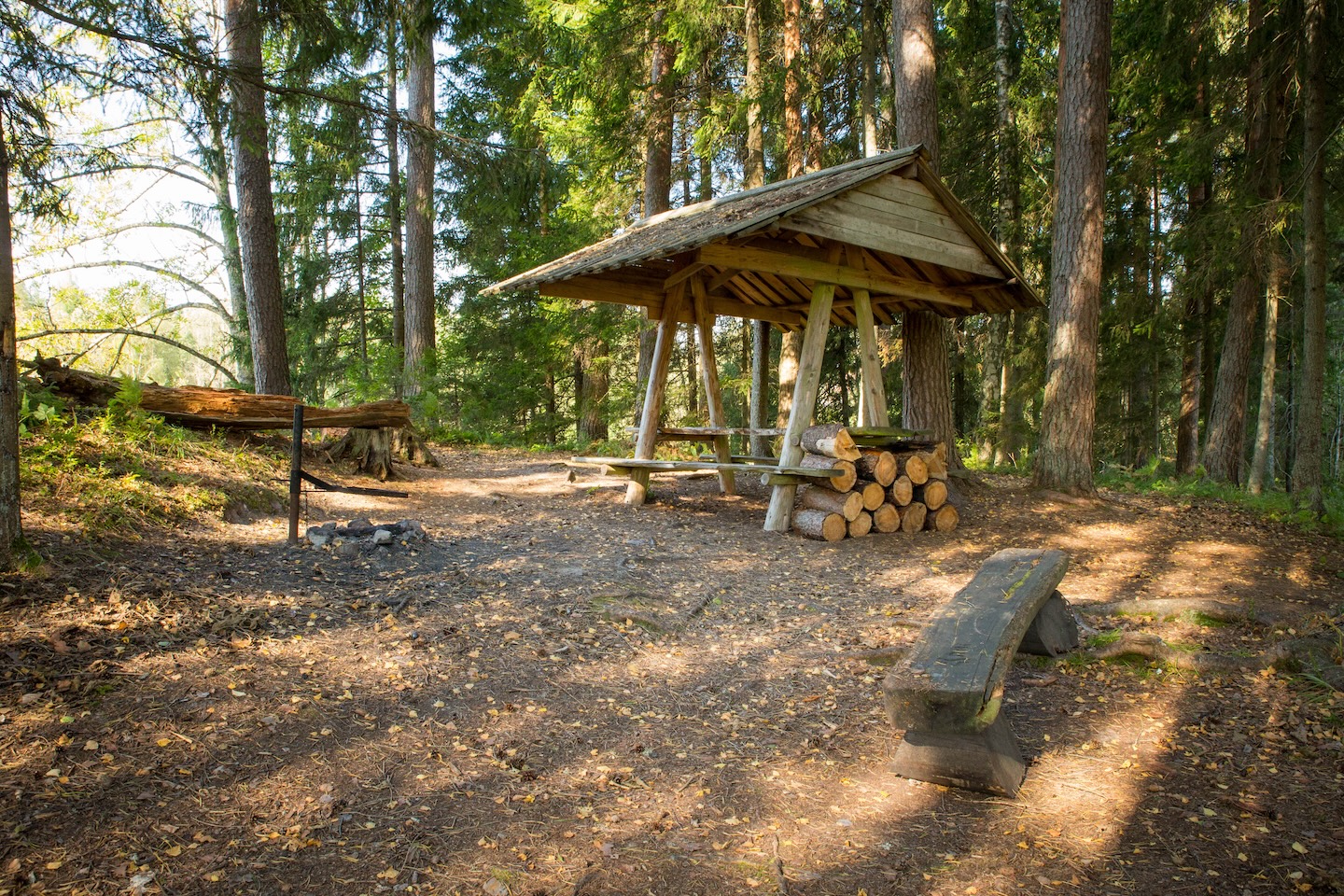
The campfire site on the high bank of the picturesque Kääpa River is a place to enjoy a peaceful forest holiday. The campfire site is situated at the forest road, in the immediate vicinity of the Koseveski cycling trail.
Sights
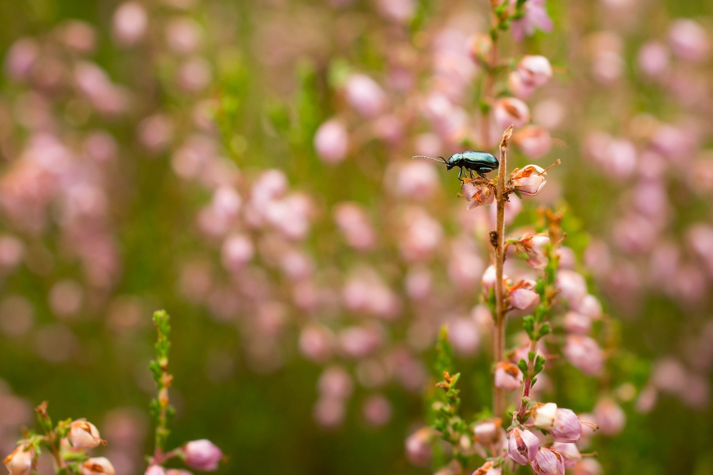
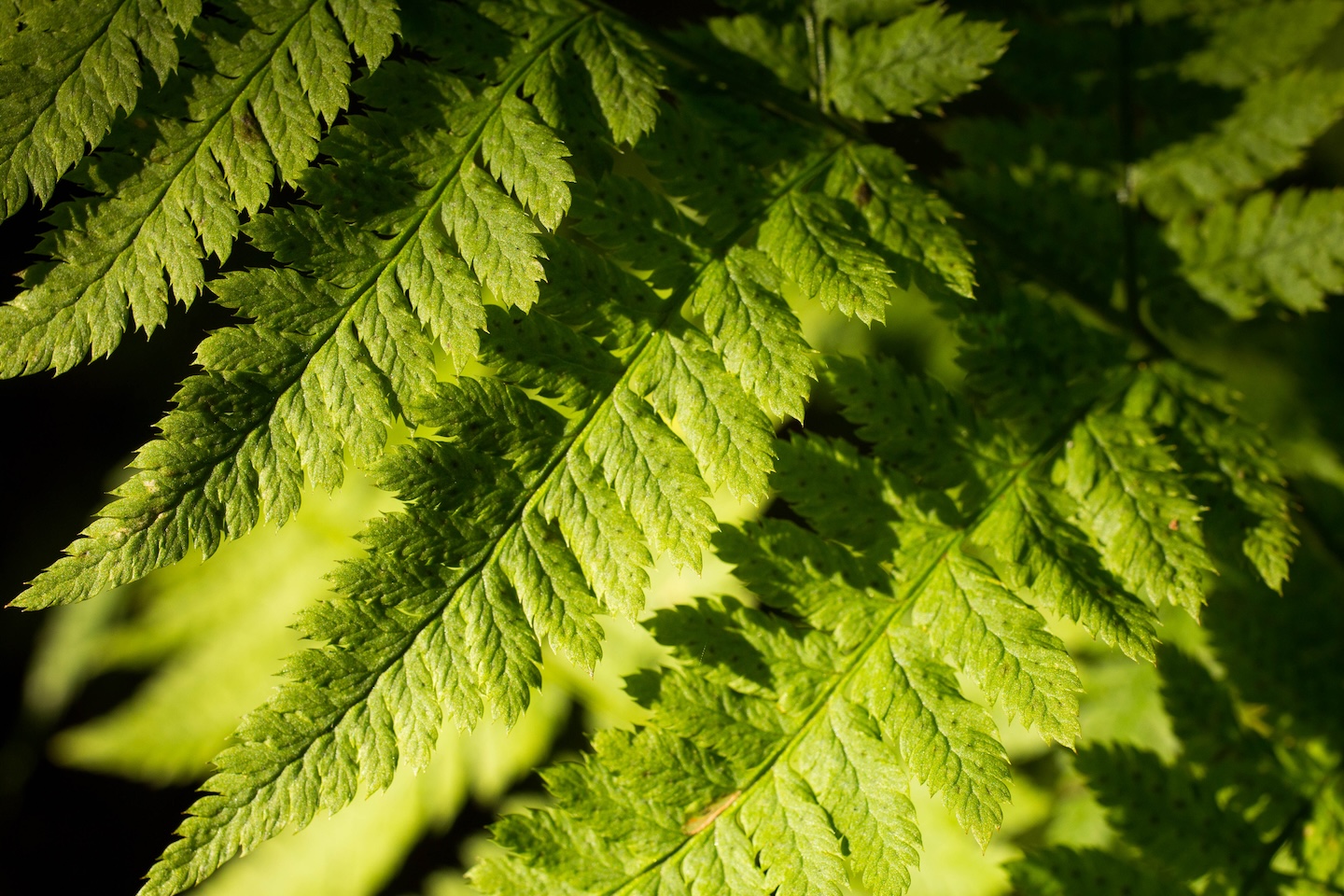
A spectacular view over the Kääpa River, diverse forests
Hiking options
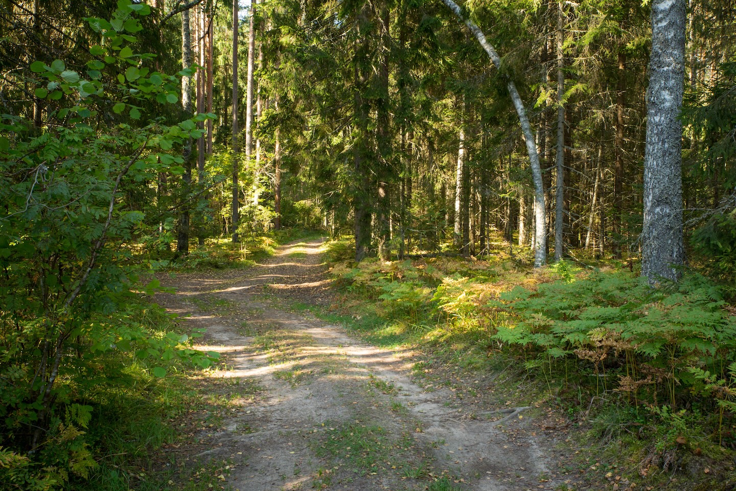
Koseveski cycling trail (20 km)
Amenities
Table-bench with roof, open fire pit with grill grate, benches, tree shelter
Parking
Parking at the forest road, 150 m from the campfire site.
Location : Jõgeva County, Tartu-Jõgeva Recreation Area
Mustvee Municipality, Jõgeva County
Navigation instructions : Drive 43 km from Tartu towards Jõhvi, turn right at the sign “Koseveski keskus 2”, drive 2 km and turn right again at the junction. Drive across the bridge and turn left at the junction after the bridge (sign “Halliku 3.5”). Drive 50 m and arrive at the junction, choose the middle branch and drive 2.1 km along the gravel road. Keep to the left, following the RMK sign, drive 400 m and turn left at the RMK sign. The campfire site is situated 150 m from the road.
By clicking on the map it will open the map application larger in a new window.
Telephone:
+372 676 7030
E-mail:
info.elistvere@rmk.ee
Object type:
campfire site
Location info
Location:
Jõgeva County, Tartu-Jõgeva Recreation Area
Mustvee Municipality, Jõgeva County
Navigation instructions:
Drive 43 km from Tartu towards Jõhvi, turn right at the sign “Koseveski keskus 2”, drive 2 km and turn right again at the junction. Drive across the bridge and turn left at the junction after the bridge (sign “Halliku 3.5”). Drive 50 m and arrive at the junction, choose the middle branch and drive 2.1 km along the gravel road. Keep to the left, following the RMK sign, drive 400 m and turn left at the RMK sign. The campfire site is situated 150 m from the road.