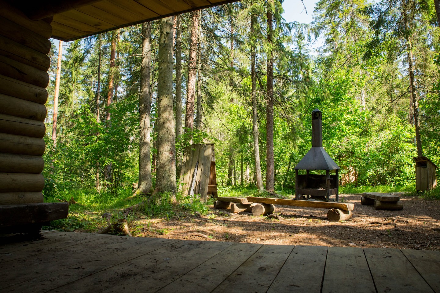
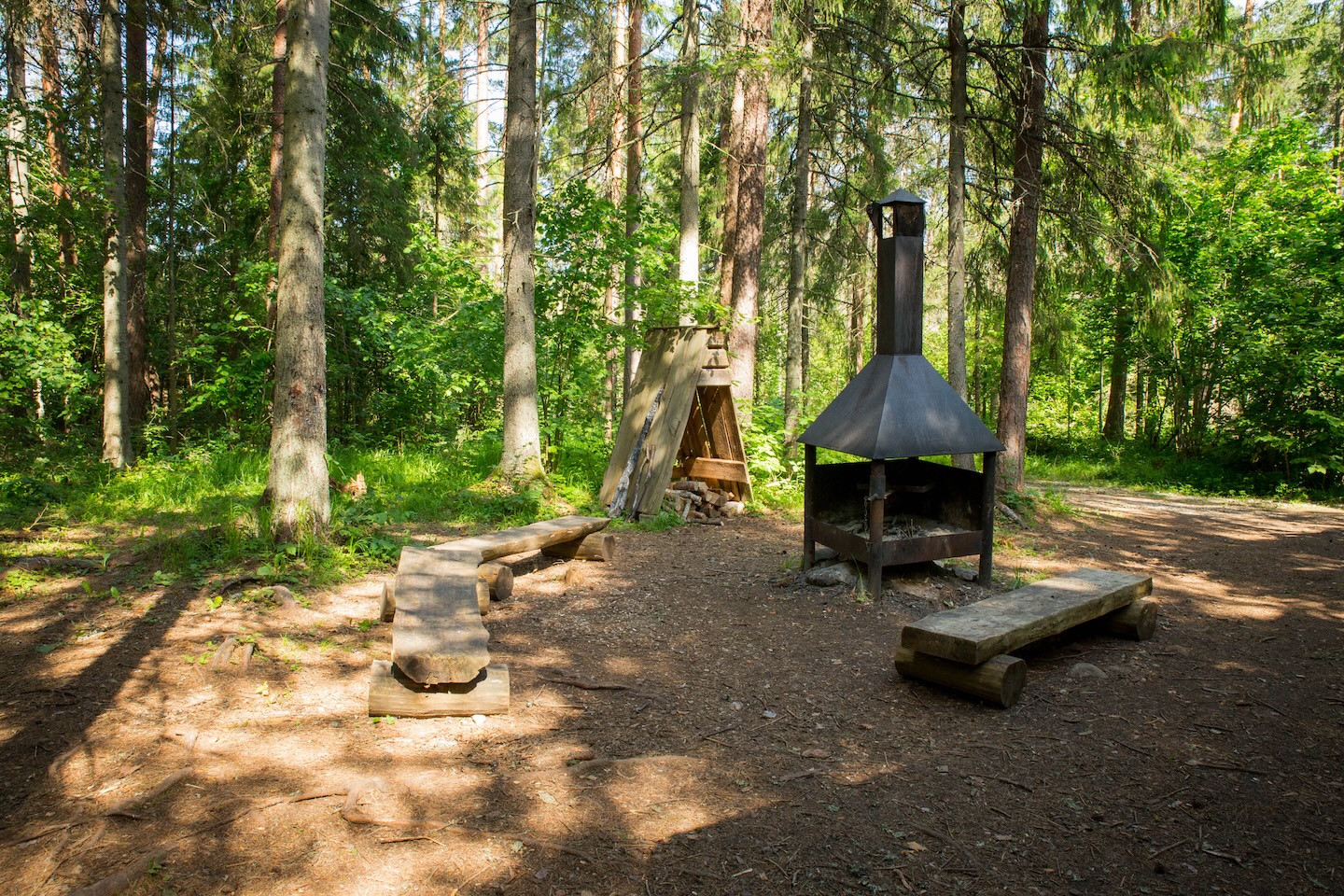
Kõrvetaguse campfire site
Võimalused
Foot-and-mouth, a severe animal disease, is currently circulating in Europe and also poses a threat to animals in Estonia. Your help is needed to prevent animals here – sheep, cattle, goats, and other ungulates – from becoming infected. We ask that you please follow some important recommendations.
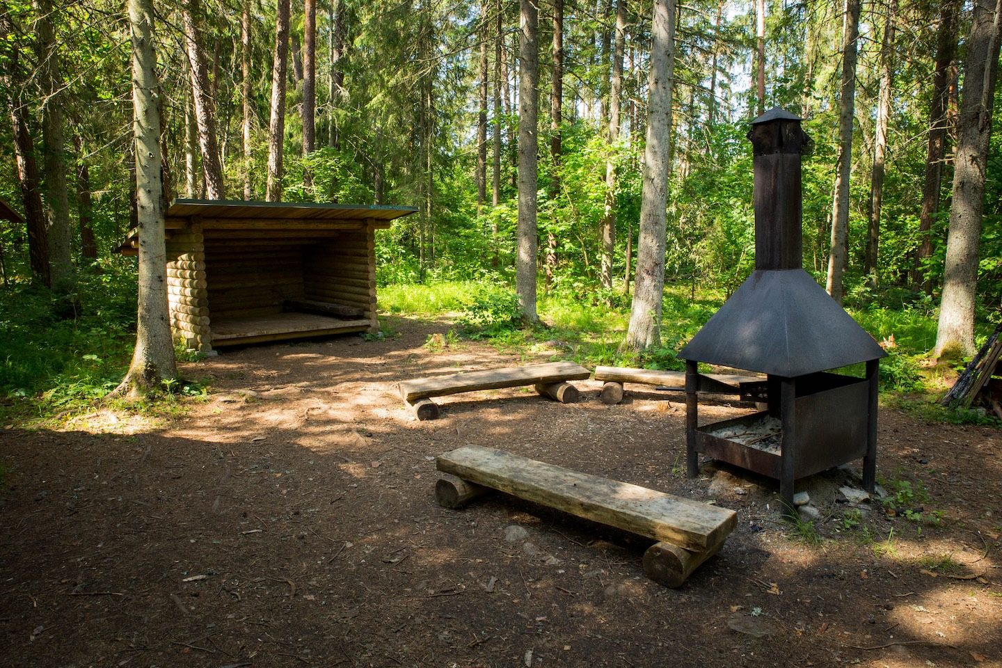
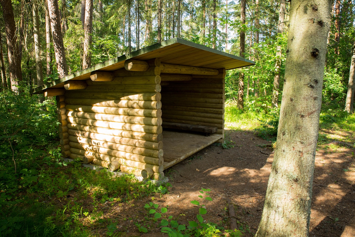
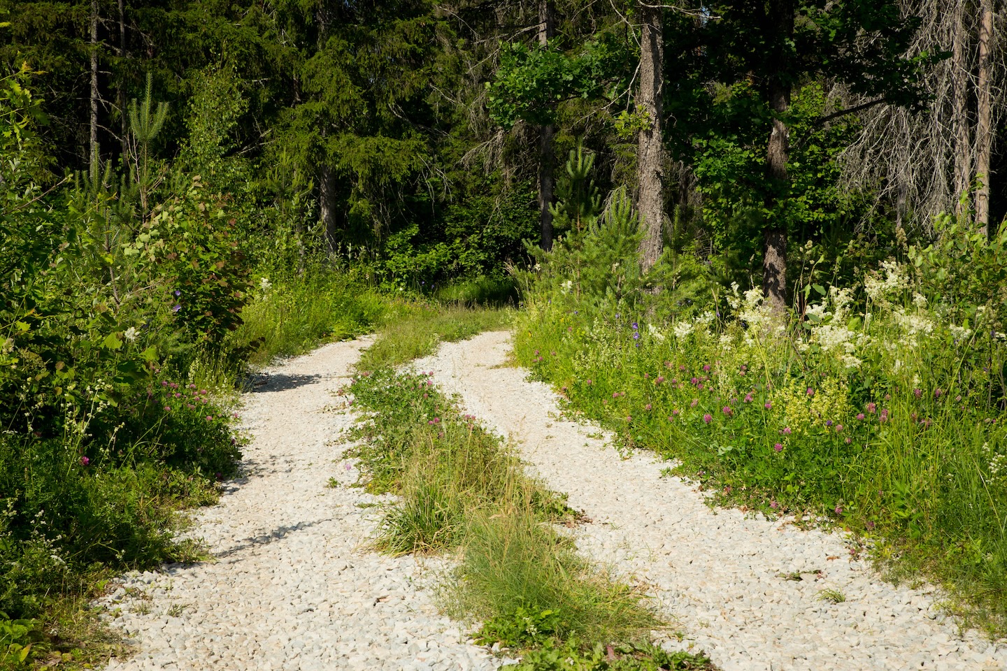
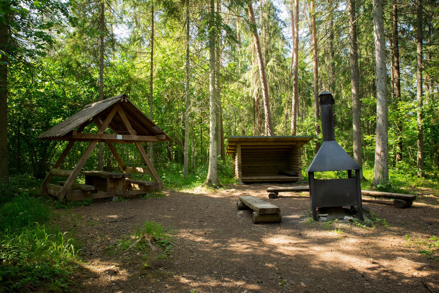
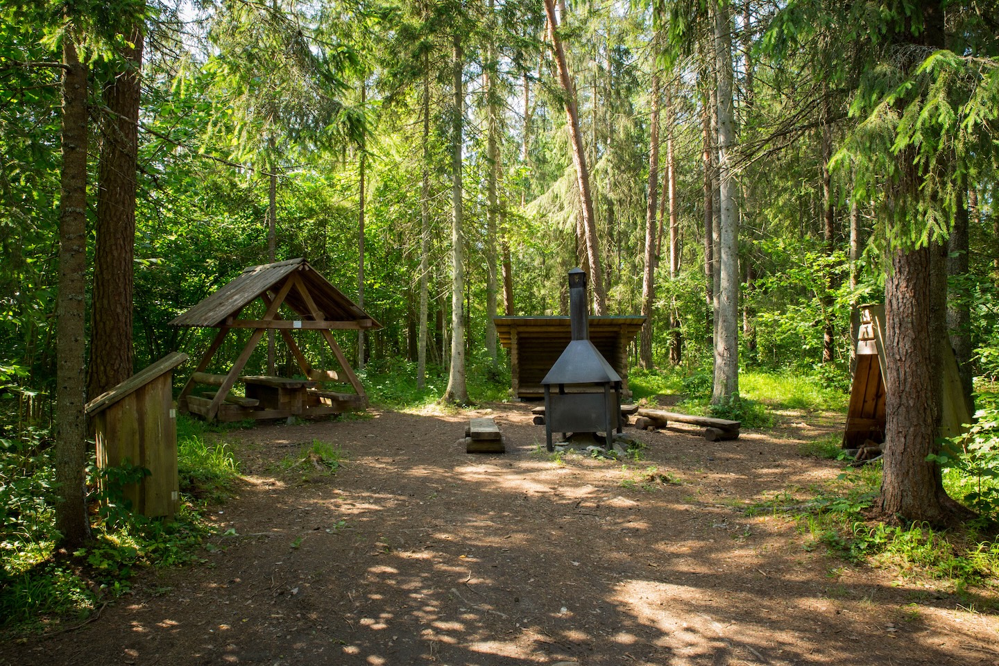
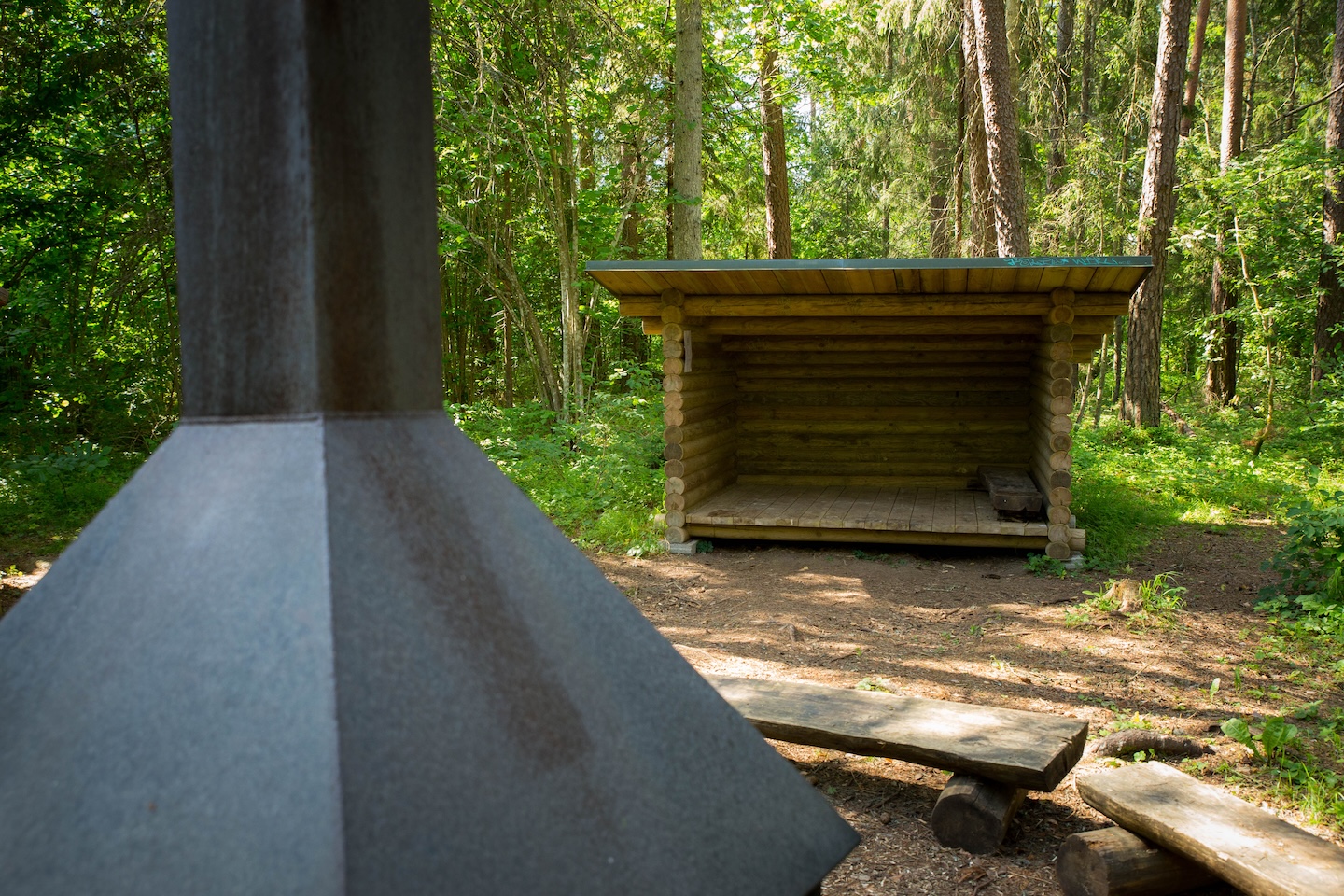
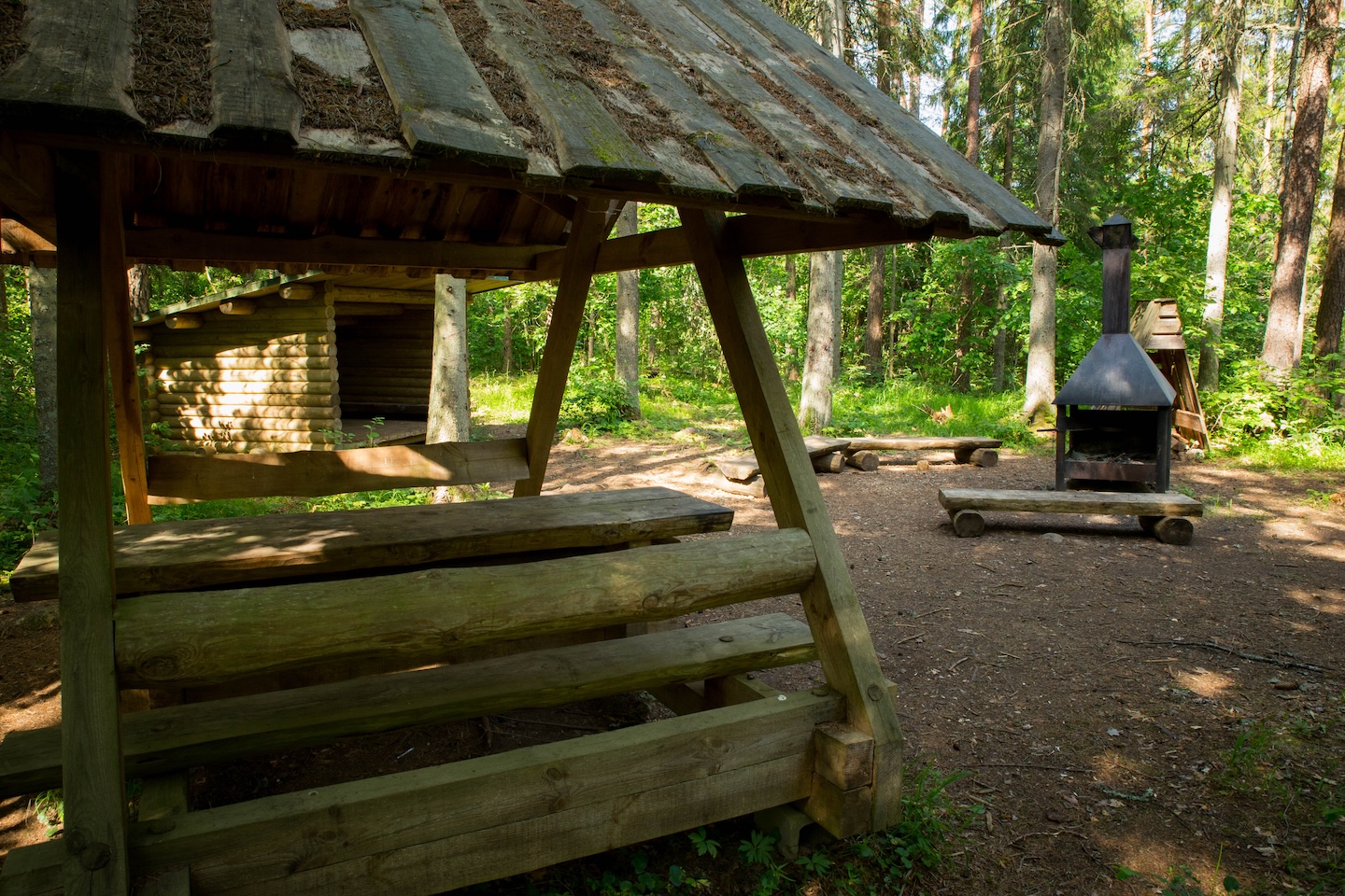
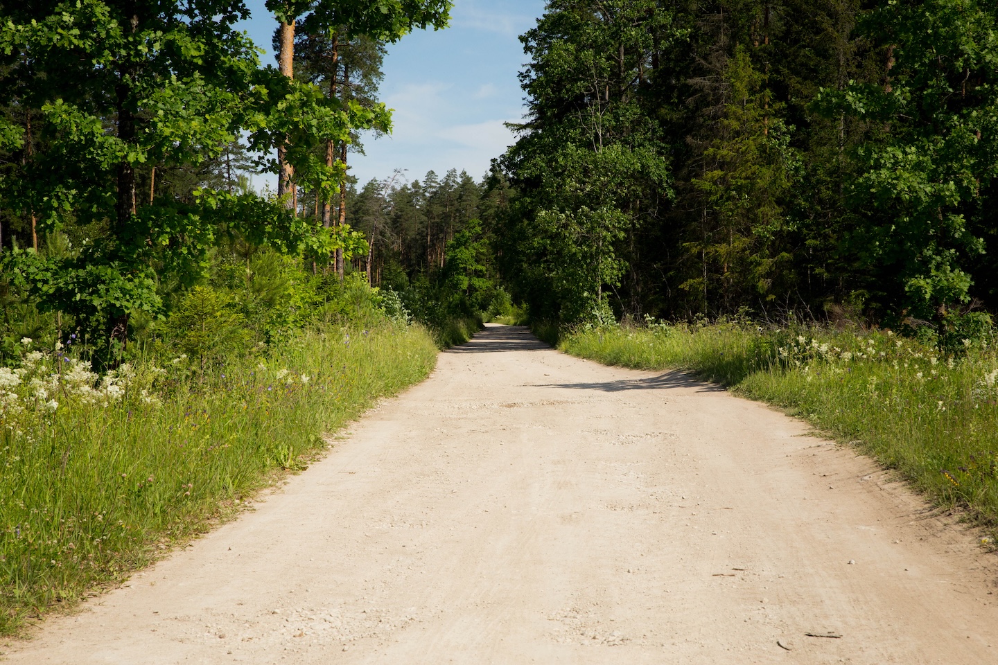
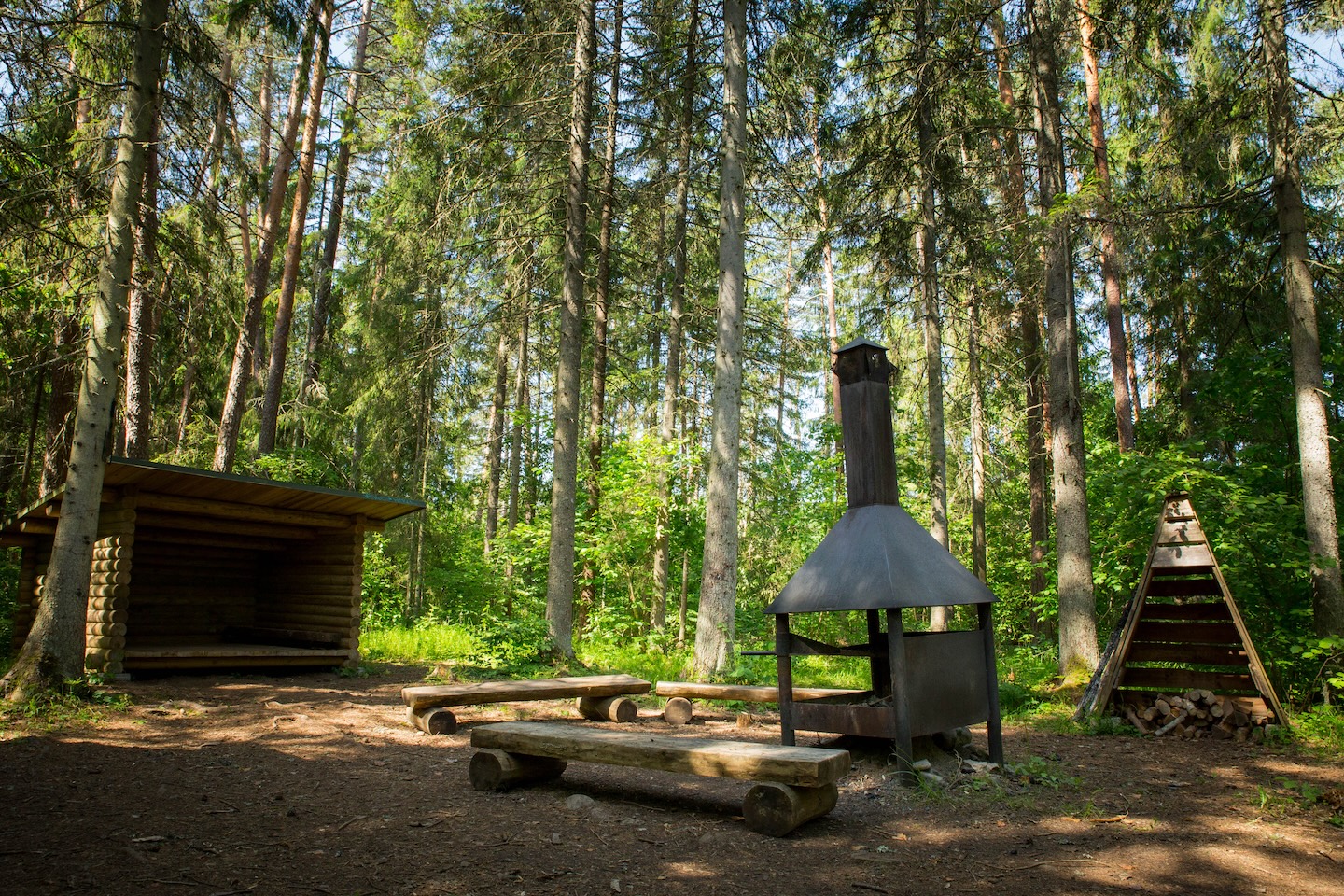
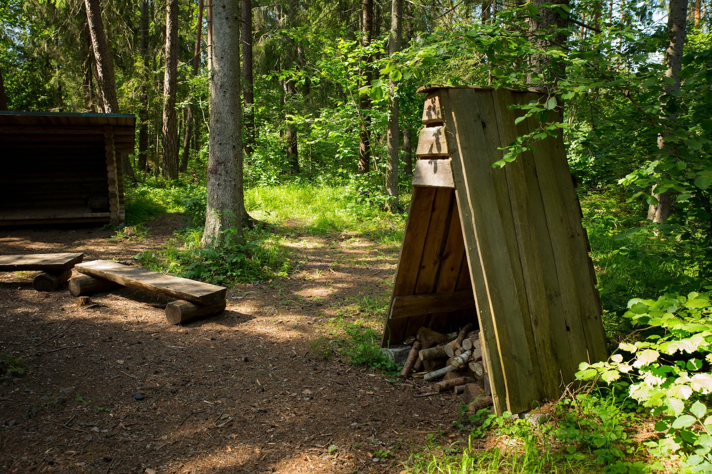
A small campfire site for hikers on RMK’s Penijõe-Aegviidu-Kauksi Hiking Trail. The campfire site is located away from any large settlements, which makes it a relatively private stopping point. Moving along the hiking trail towards Varbola, the hiker can see the different stages of the forest life cycle. There are good mushroom forests around the Kõrvetaguse Campfire Site. There are also lean-to shelters at the campfire site, in which the hiker can find shelter and refuge from bad weather.
Sights
Varbola stronghold
Hiking options
RMK Penijõe-Aegviidu-Kauksi hiking route
Amenities
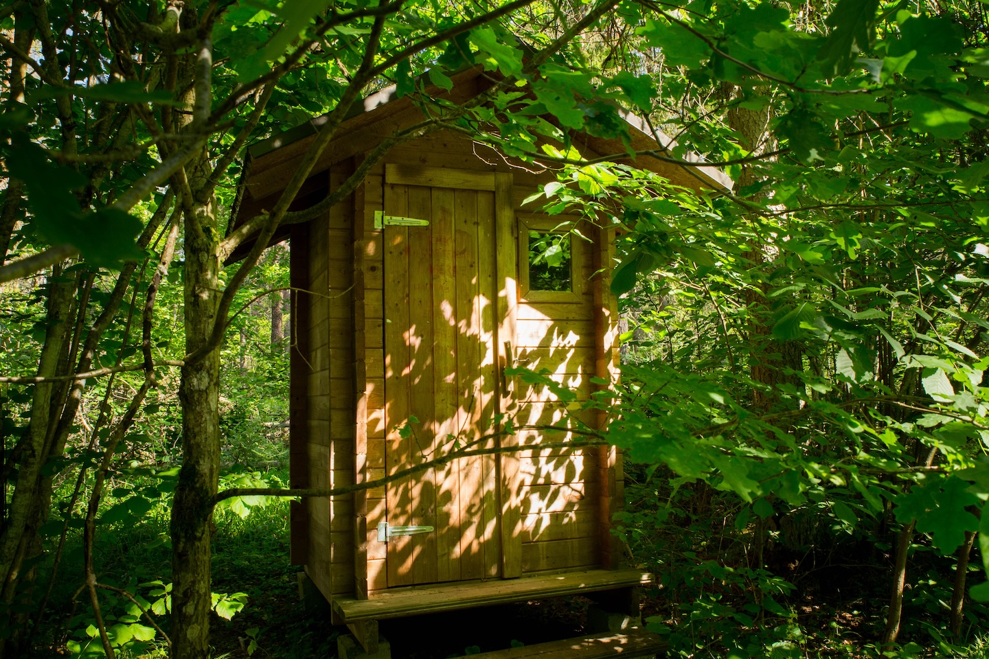
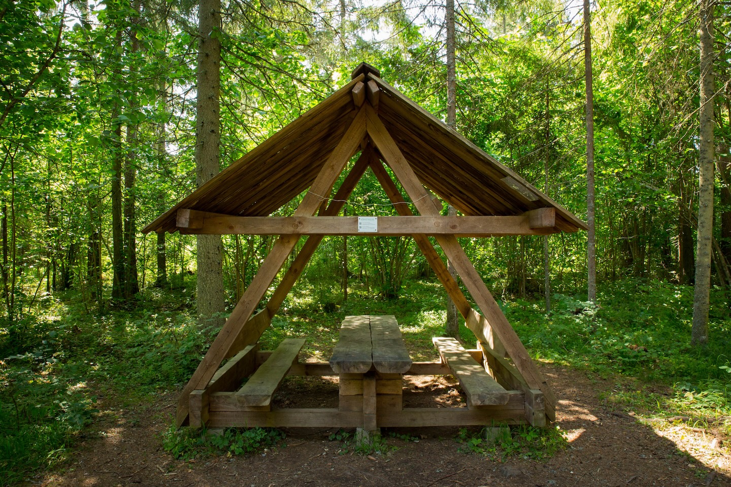
Lean-to shelters, a covered table-bench, covered fireplace with a grill rest, dry toilet, firewood shelter, waste bin.
Additional information
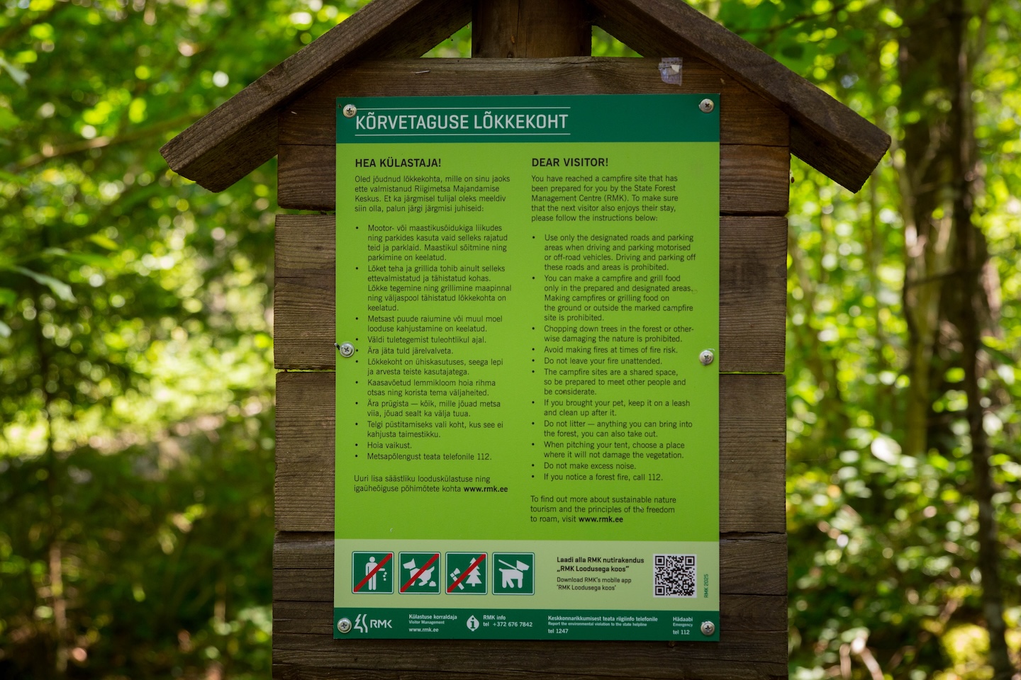
Before going on a nature walk please read the rules of conduct


By clicking on the map it will open the map application larger in a new window.
Long-Lat WGS 84
Latitude: 58.971254
Longitude: 24.530358
L-EST 97x: 530506
L-EST 97y: 6537034