Where to go
Lake Rae campsite
Lake Rae campsite
Lake Rae campsite
Lake Rae campsite
Lake Rae campsite
Lake Rae campsite
Lake Rae campsite
Lake Rae campsite

Lake Rae campsite


Võimalused

Hiking trail/Hiking Options
Camping
Camping
Covered fireplace
Covered fireplace
Year-round maintenance
Parkimine
Parkimine
Pärnu County, Pärnumaa Recreation Area

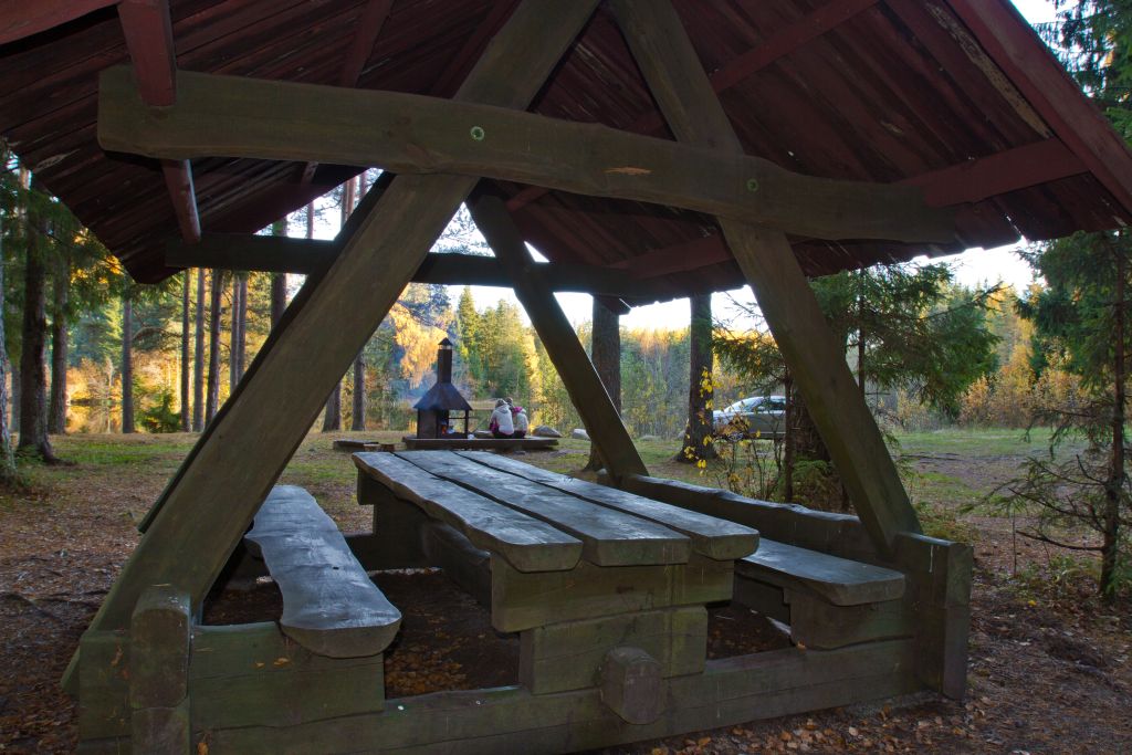
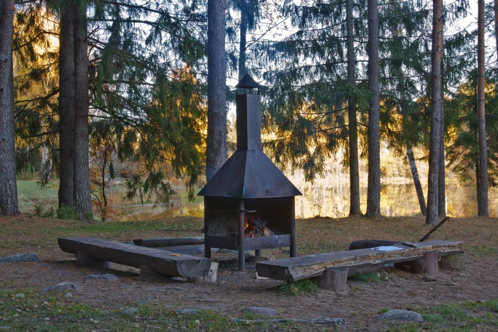
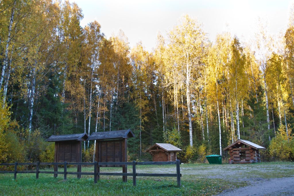
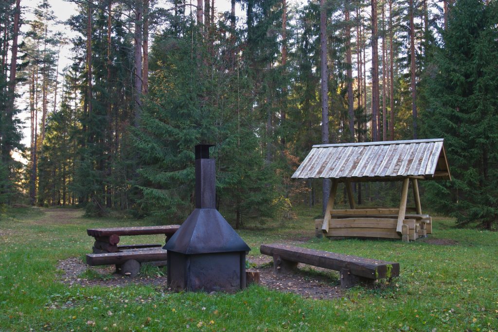
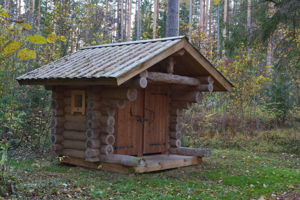
The campsite is situated at Lake Rae and is a nice place for a forest recreation, swimming, fishing or hiking on Lake Rae hiking trail. The Kopra –Ikla section (74 km) of RMK Hiking Route passes the campsite.

Sights

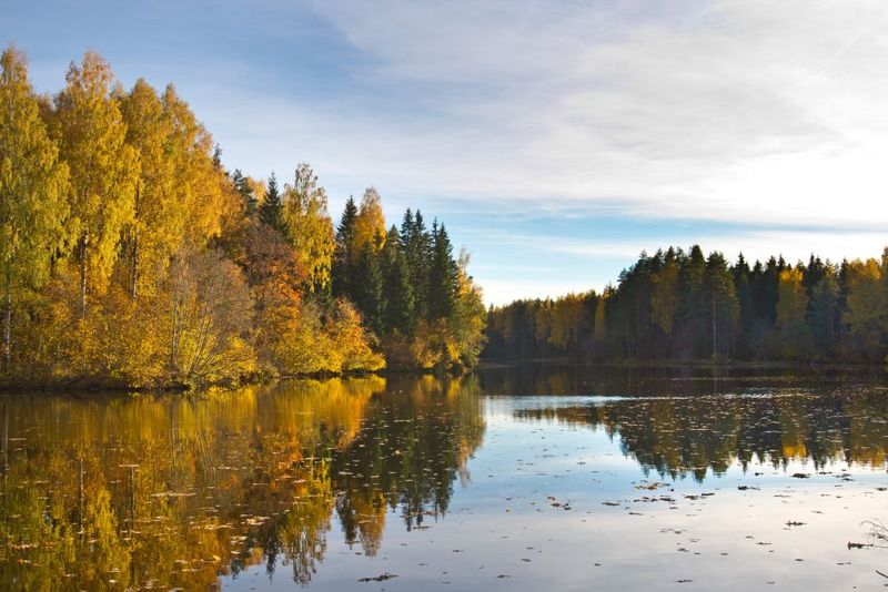
Versatile nature, a chance to observe the activities of wild animals and birds or hike along the Lake Rae hiking trail which starts at the campsite. A fish ladder has been built on the river dam.

Hiking options

Hiking on the Lake Rae hiking trail and on the Kopra – Ikla section (74 km) of RMK Hiking Route.

Camping

Maximum number of tents (for 4) allowed is 7.

Water

Water can be taken from the well.

Amenities

Wooden pier, campfire sites, picnic shelters, firewood shed, outdoor toilets and freshwater well, children’s playground.

Parking

Parking area for 15 cars.

Additional information

Before going on a nature walk please read the rules of conduct

Contact

Telephone: +372 505 8242

E-mail: info.kabli@rmk.ee

Object type: campsite

Location info

Location : Pärnu County, Pärnumaa Recreation Area

On the shore of Lake Rae, Saarde municipality, Pärnu County

Navigation instructions : Drive 8 km on Tõitoja–Häädemeeste road, turn left at the sign to Lake Rae campsite and hiking trail. Follow the signs to the campsite.

Coordinates:

Long-Lat WGS 84
Latitude: 58.121375
Longitude: 24.769256
L-EST 97x: 545332.3
L-EST 97y: 6442513.3

By clicking on the map it will open the map application larger in a new window.

Telephone:
+372 505 8242
E-mail:
info.kabli@rmk.ee
Object type:
campsite
Location info
Location:
Pärnu County, Pärnumaa Recreation Area
On the shore of Lake Rae, Saarde municipality, Pärnu County
Navigation instructions:
Drive 8 km on Tõitoja–Häädemeeste road, turn left at the sign to Lake Rae campsite and hiking trail. Follow the signs to the campsite.
Coordinates:

Long-Lat WGS 84
Latitude: 58.121375
Longitude: 24.769256
L-EST 97x: 545332.3
L-EST 97y: 6442513.3