

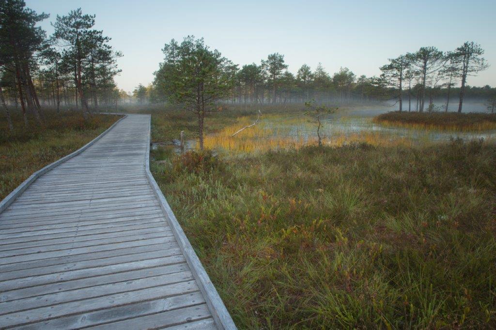


Meenikunno hiking trail (5.8 km)
Võimalused
Foot-and-mouth, a severe animal disease, is currently circulating in Europe and also poses a threat to animals in Estonia. Your help is needed to prevent animals here – sheep, cattle, goats, and other ungulates – from becoming infected. We ask that you please follow some important recommendations.
The 5.8 km circular hiking trail runs on 2.4 km boardwalk and 3.4 km forest path. There are 13 information points introducing the bog and forest along the trail. There is an observation tower on the Liipsaare end of the hiking trail. It is a fascinating trail for nature enthusiasts—hikers, berry-pickers, bird-watchers, etc.
Parking
Parking in Liipsaare or Päikeseloojangu (BL: 57.946226, 27.330847; L-EST 97 x: 6427642 y: 697179) parking areas.
Amenities
There are 13 information points introducing the bog and forest along the trail. There is an observation tower on the Liipsaare end of the hiking trail.
Additional information
Before going on a nature walk please read the rules of conduct
Restrictions
The hiking trail is situated in the Meenikunno Landscape Protection Area. Further information can be obtained from the Environmental Board +372 662 5999, info@keskkonnaamet.ee
Wheelchair accessibility
The trail is accessible by wheelchair (also with pram) ca 1,1 kilometres (from the Päikeseloojangu rental hut).
Files
A brochure of the Landscape Protection Area was issued by Environmental Board.
Download PDF.


By clicking on the map it will open the map application larger in a new window.
Long-Lat WGS 84
Latitude: 57.932105
Longitude: 27.310046
L-EST 97x: 696026
L-EST 97y: 6426011