


Paganamaa study trails (3.8-4.7 km)
Võimalused
Foot-and-mouth, a severe animal disease, is currently circulating in Europe and also poses a threat to animals in Estonia. Your help is needed to prevent animals here – sheep, cattle, goats, and other ungulates – from becoming infected. We ask that you please follow some important recommendations.
There are three marked trails, and you can choose a walk of 4.0 or 4.7 km, the 3,8 km long trail is for cycling. All the trails start on the Raadi hill on the edge of the Piirorg valley. The jewels of Paganamaa (Old Heathen’s Land) are the lakes in the Piirorg valley on the Piiroja stream: Kikkajärv, Sarapuujärv, Liivajärv and Mudajärv lakes. The Estonian-Latvian border runs along the medial line of these lakes. This area got its name according to the kettle holes, formed by the retreating glaciers – these kettles are known as the “footprints” of the Old Heathen. The diameter of the kettles is 50–100 m and depth 15–20 m. The slope angles are up to 25 degrees. It is said that in the old days the surroundings of these “footprints” were treeless and the oblong hollows reminded people of huge footprints.
Sights
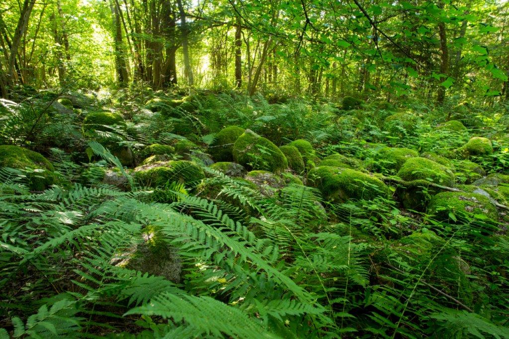
Piiriorg valley, chain of lakes, landscape.
Camping
Paganamaa campfire site
Amenities
Along the trail there is 1 information board, 12 small information boards, 2 campfire sites, 1 dry toilet. The trails are 4.0 km, 4.7 km and 3.8 km (by bicycle).
Parking
Parking in private land for 10 cars.
Additional information
Before going on a nature walk please read the rules of conduct
Restrictions
The study trails are on the Paganamaa Landscape Protection Area. Further information can be obtained from the Environmental Board +372 662 5999, info@keskkonnaamet.ee


By clicking on the map it will open the map application larger in a new window.
Long-Lat WGS 84
Latitude: 57.585415
Longitude: 26.834319
L-EST 97x: 669502.1
L-EST 97y: 6386140.3