


Piusa river valley hiking trail (15 km)
Võimalused
Foot-and-mouth, a severe animal disease, is currently circulating in Europe and also poses a threat to animals in Estonia. Your help is needed to prevent animals here – sheep, cattle, goats, and other ungulates – from becoming infected. We ask that you please follow some important recommendations.
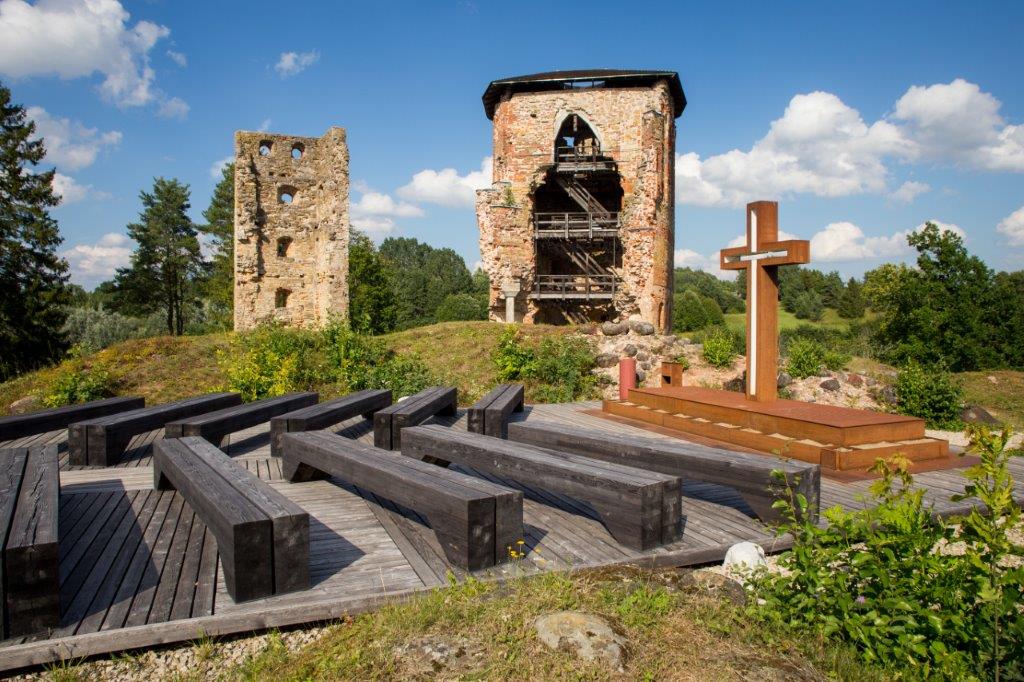
15 km is one way, back and forth will be 30 km. The trail starts at Vastseliina Episcopal Castle ruins and goes along the primeval valley of the Piusa River to Lindora village on Võru–Obinitsa road. In addition to nice outcrops there are several sites of old mills along the trail. The trail is equipped with wooden signs.
Sights
Primeval valley of the Piusa River, ruins of the Vastseliina Episcopal Castle, the highest sandstone outcrop wall in Estonia – Härma Mäemine müür aka Keldri müür and several sites of former mills.
Camping
Make campfire site and Härma campfire site.
Amenities
On the trail there are information boards introducing the sights.
Parking
Parking area at Vastseliina Episcopal castle ruins and an additional parking space in front of the Piiri tavern. NB! Starting from the north (upstream) parking at Lindora campfire site or Härma campfire site.
Additional information
The trail is partly on private land.
Before going on a nature walk please read the rules of conduct
NB! Passing through Vastseliina fortress is costs 4 €. You can cross the trail free of charge with hiker`s passport or through the manor park.
Restrictions
The trail is in Piusa River Valley Landscape Protection Area. Further information can be obtained from the Environmental Board +372 662 5999, info@keskkonnaamet.ee


By clicking on the map it will open the map application larger in a new window.
Long-Lat WGS 84
Latitude: 57.729162
Longitude: 27.361827
L-EST 97x: 700222.5
L-EST 97y: 6403587.8