From Aegviidu, the trail runs further in
Lääne-Viru County, past the town of Tapa to Ohepalu and Neeruti villages, goes
through Porkuni village and through the former Soviet missile base territory to
the cone dryer at Roela.
Sights
Neeruti hills and eskers, Porkuni Landscape Reserve
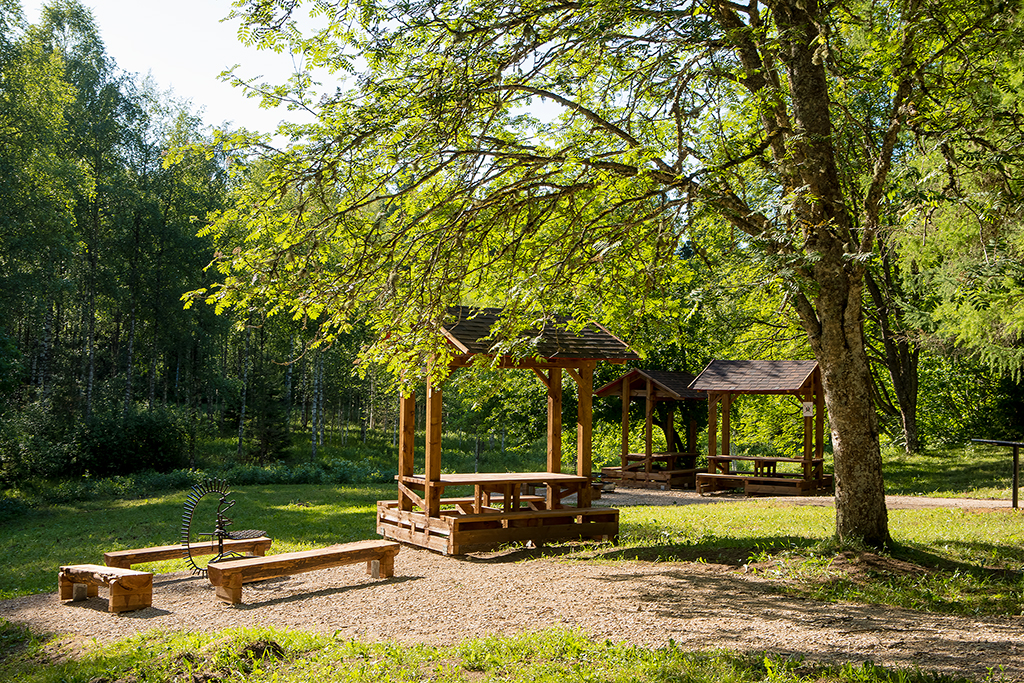
Camping
At campsites and campfire sites along the hiking route.
Amenities
The trail is signposted and marked with white-yellow-white paint marks on trees. Rest stops on the trail and distances between them.
Aegviidu Visitor centre-Nikerjärve campsite 2 km
Nikerjärv campsite-Tõõrakõrve campfire site 24 km
Tõõrakõrve campfire site- Ohepalu campfire site 12,5 km
Ohepalu campfire site-Eesjärve campsite 18 km
Eesjärve campsite-Tissipuu campfire site 0,4 km
Tissipuu campfire site-Leivaahjumäe campfire site 0,4 km
Leivaahjumäe campfire site-Mardihansu campfire site 11 km
Mardihansu campfire site-Rocet Base campfire site 17 km
Rocet Base campfire site-Roela campfire site 20,5 km