


Seljamäe study trail (7 km)
Võimalused
Foot-and-mouth, a severe animal disease, is currently circulating in Europe and also poses a threat to animals in Estonia. Your help is needed to prevent animals here – sheep, cattle, goats, and other ungulates – from becoming infected. We ask that you please follow some important recommendations.
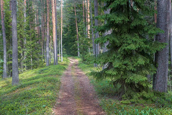
The study trail introduces the Seljamägi hill, pine forest, transition mire, Põdraallikad (spirngs) and offers scenic views of the wildlife. Hikers can have a rest and prepare food at the campfire site.
Sights
Seljamägi hill, heath pine forest, transition mire, Põdra (“Moose”) springs.
Amenities
The parking area between the bogs of Punasoo and Järvesoo, recreation shelter, campfire site. There is a campfire site, a point of interest, 2 pavilions along the trail.
Parking
Parking spaces for 15 to 20 cars.
Additional information
The hiking trail is not kept clear of snow.
Before going on a nature walk please read the rules of conduct
Restrictions
Tudusoo Nature Reserve.
According to the nature conservation rules, motorised vehicle traffic is prohibited outside roads and paths. Campfires can be made only in designated sites.


By clicking on the map it will open the map application larger in a new window.
Long-Lat WGS 84
Latitude: 59.179500
Longitude: 26.758219
L-EST 97x: 657655
L-EST 97y: 6563352