
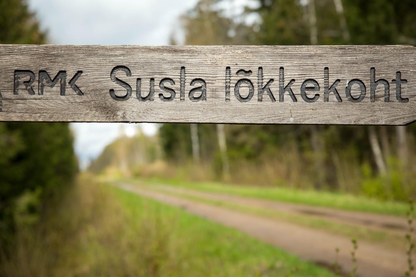
Susla campfire site
Võimalused
Foot-and-mouth, a severe animal disease, is currently circulating in Europe and also poses a threat to animals in Estonia. Your help is needed to prevent animals here – sheep, cattle, goats, and other ungulates – from becoming infected. We ask that you please follow some important recommendations.
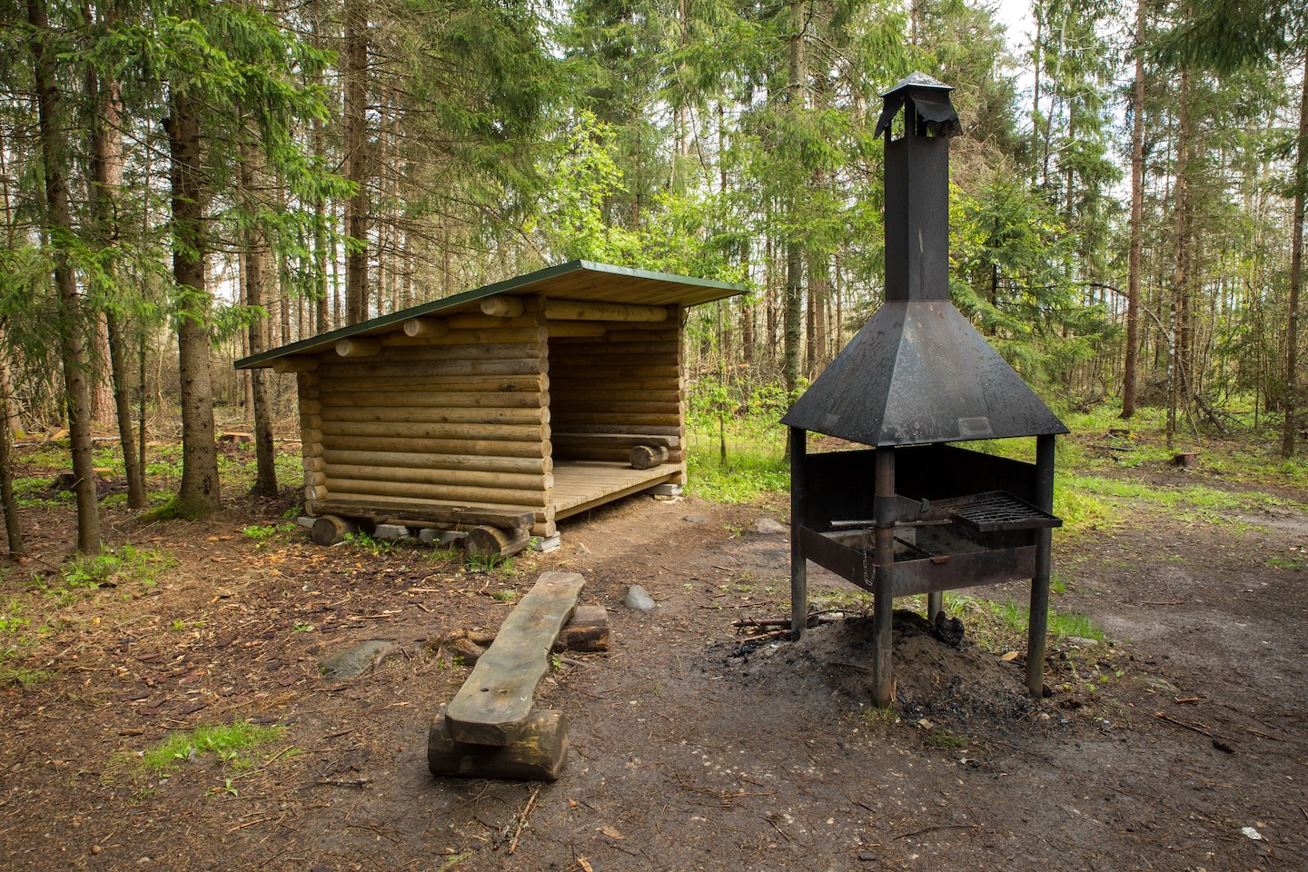
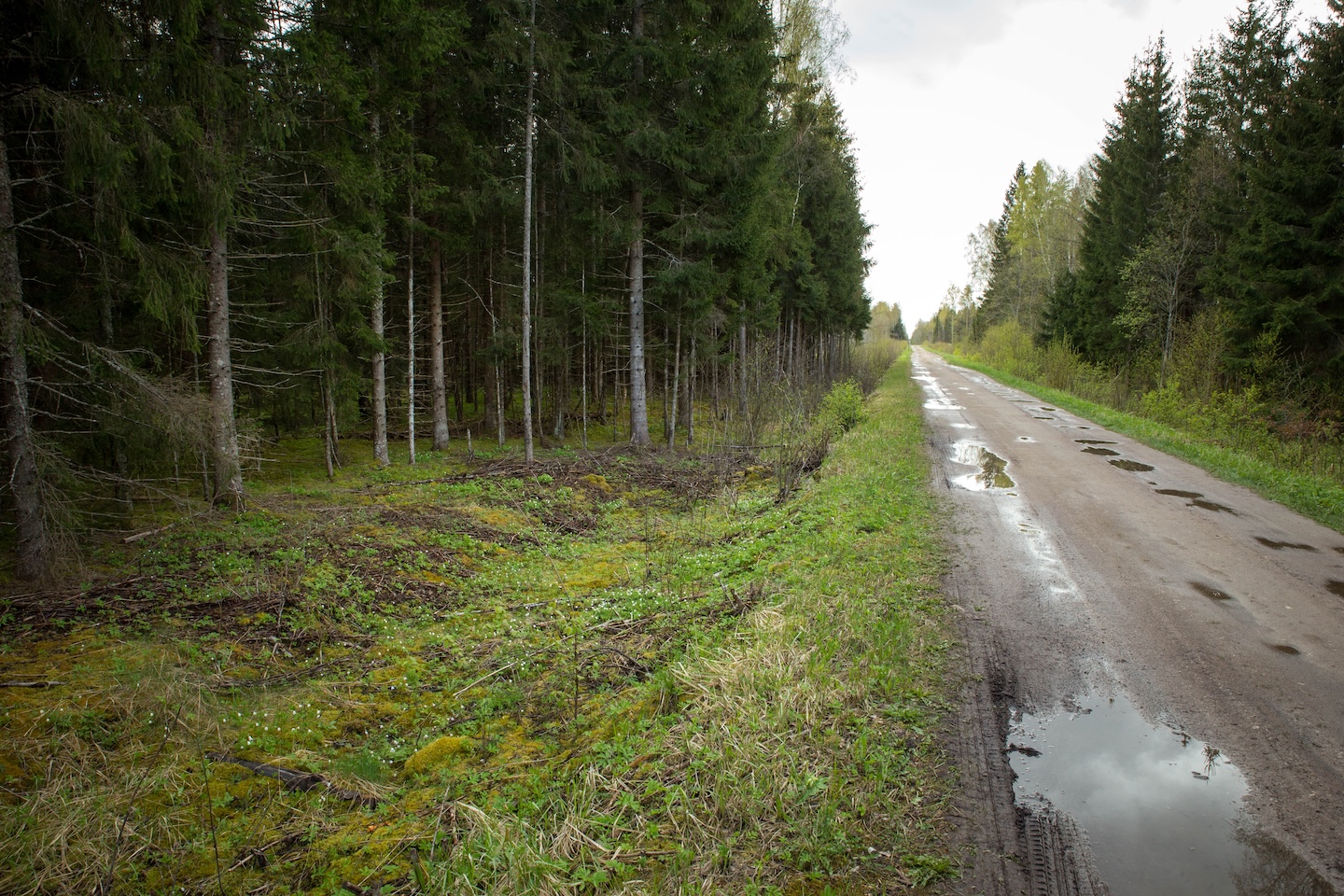
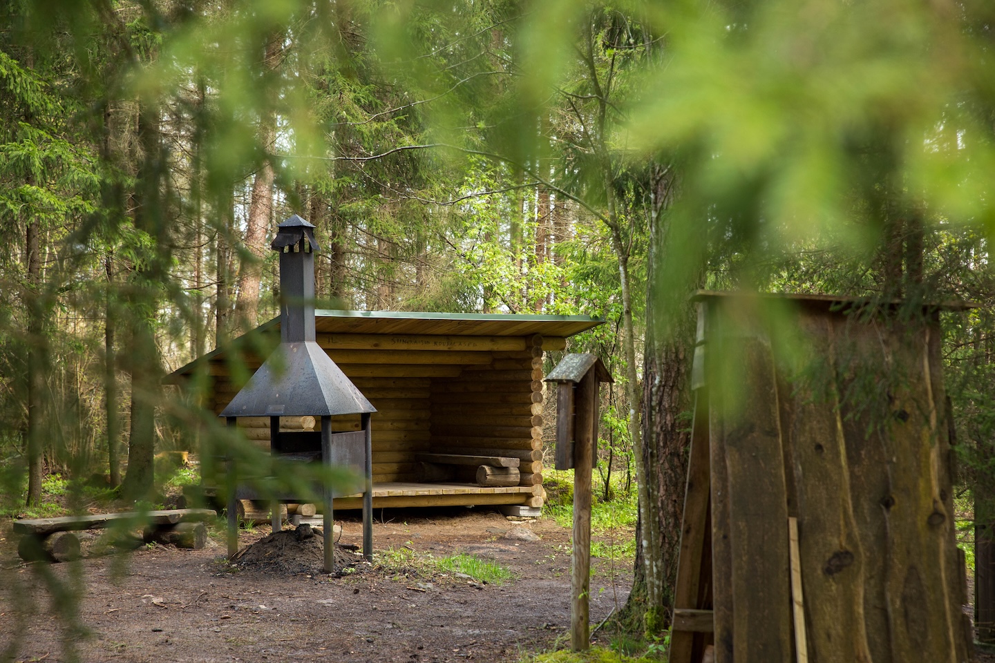
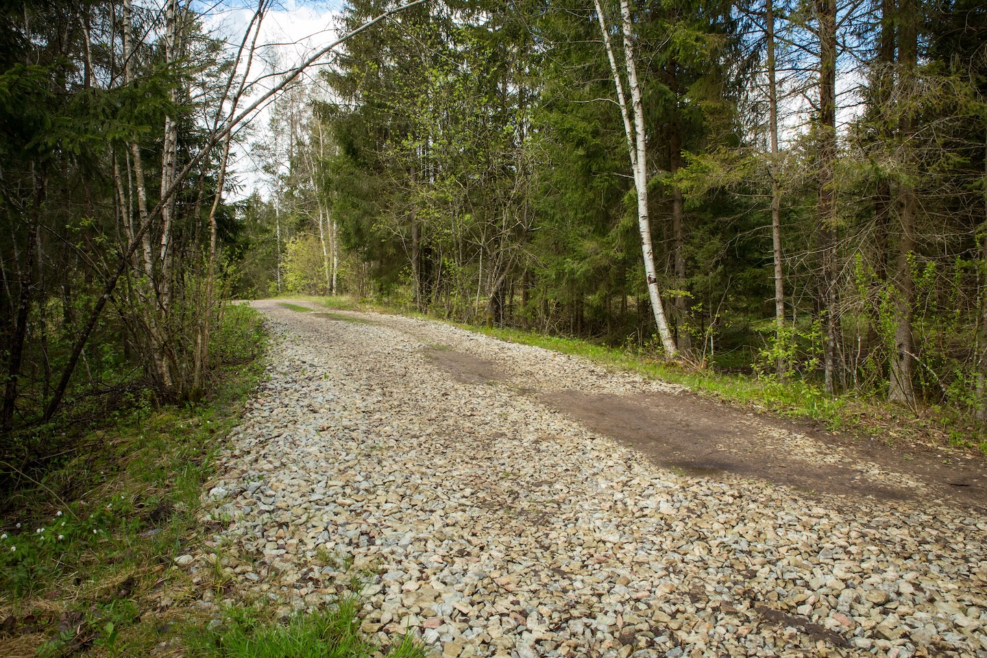
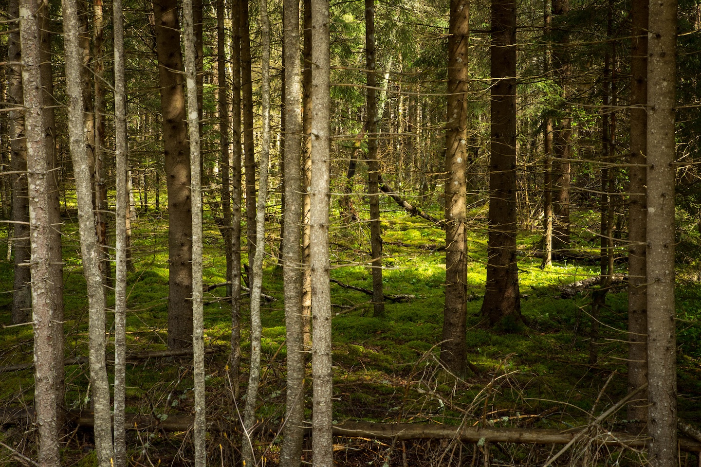
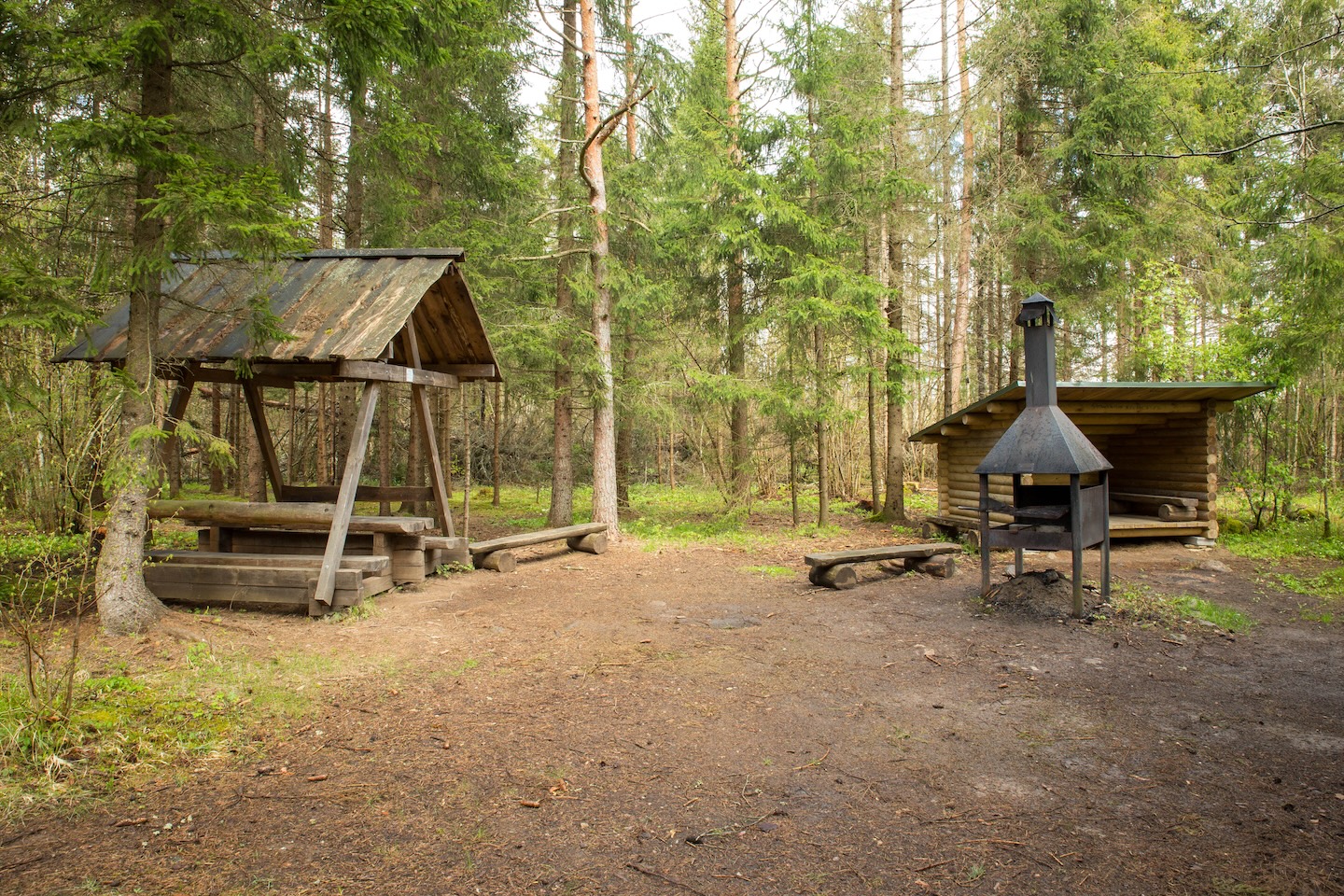
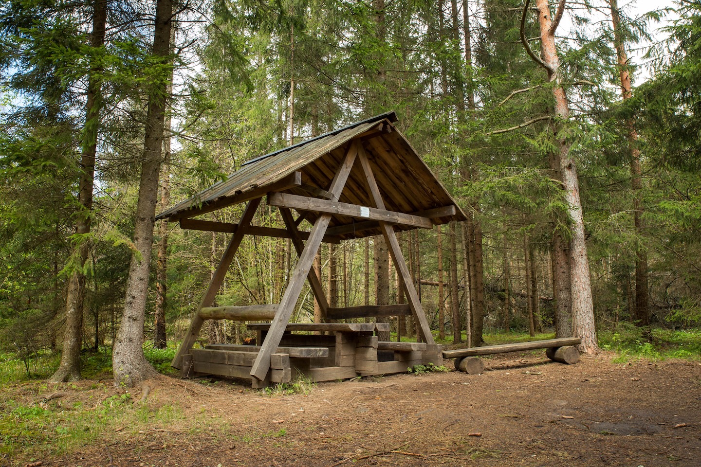
A small campfire site for hikers on RMK’s Penijõe-Aegviidu-Kauksi Hiking Trail. The campfire site is located by the former narrow-gauge Tallinn-Virtsu railway. Hence the name of the campfire site - a ‘susla’ is an old narrow-gauge steam locomotive train. At the campfire site, there are also lean-to shelters where the hiker can find shelter and refuge from bad weather. The gravel road built on the old railway is difficult to pass at certain places with a passenger car.
Hiking options
RMK Penijõe-Aegviidu-Kauki hiking route
Amenities
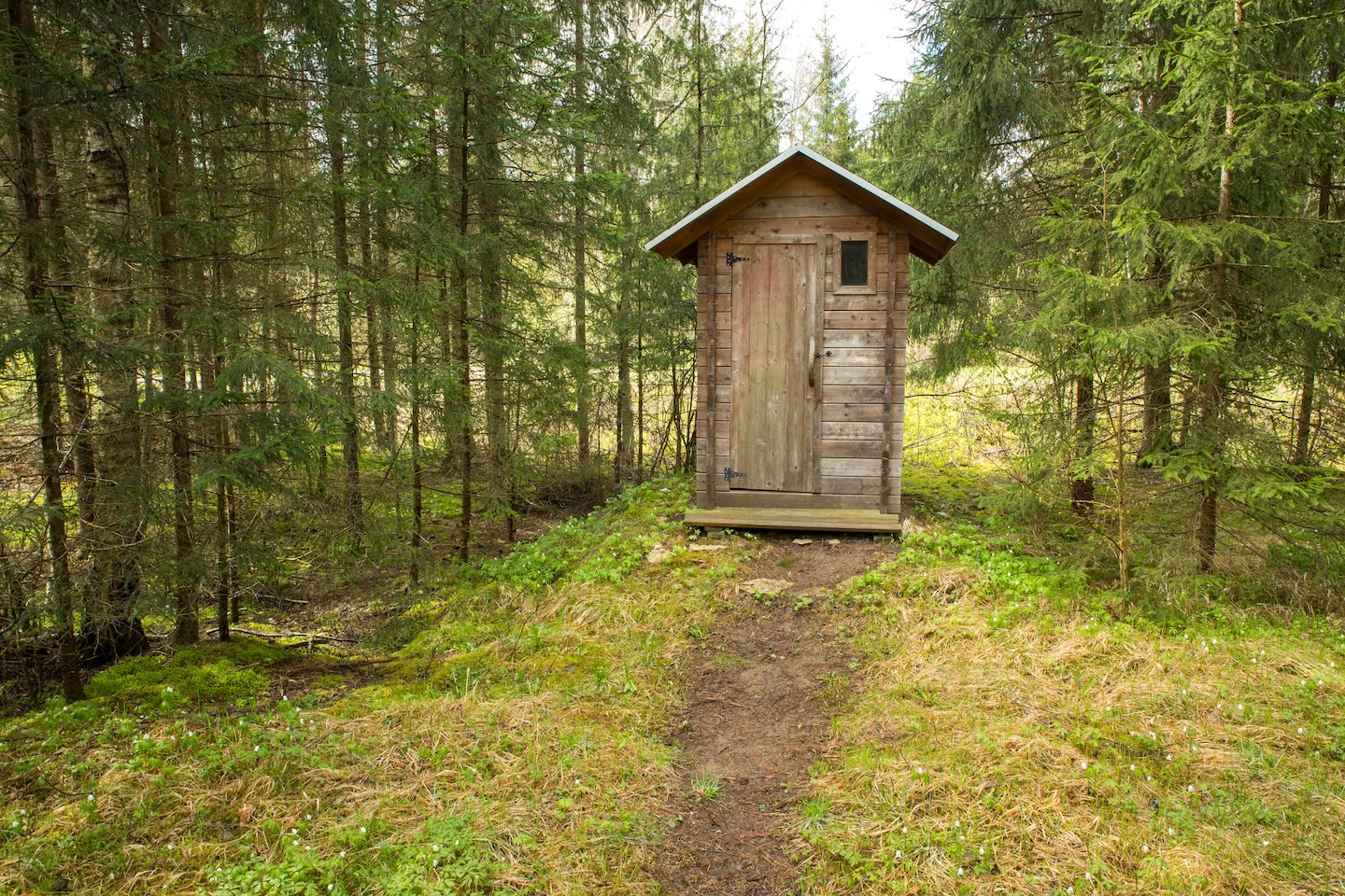
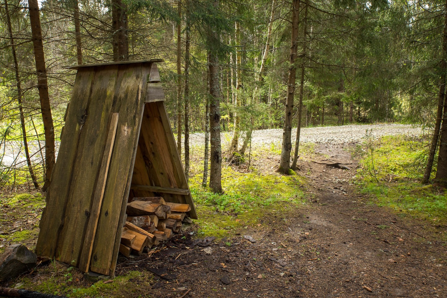
Lean-to shelters, a covered table-bench, covered fireplace, firewood shelter, dry toilet, waste bin, information board.
Parking
Parking space for 2–3 cars.
Additional information
The campfire site is located on Section I of the RMK Penijõe–Aegviidu–Kauksi hiking route.
Before going on a nature walk please read the rules of conduct


By clicking on the map it will open the map application larger in a new window.
Long-Lat WGS 84
Latitude: 58.84685
Longitude: 24.38124
L-EST 97x: 522007
L-EST 97y: 6523119