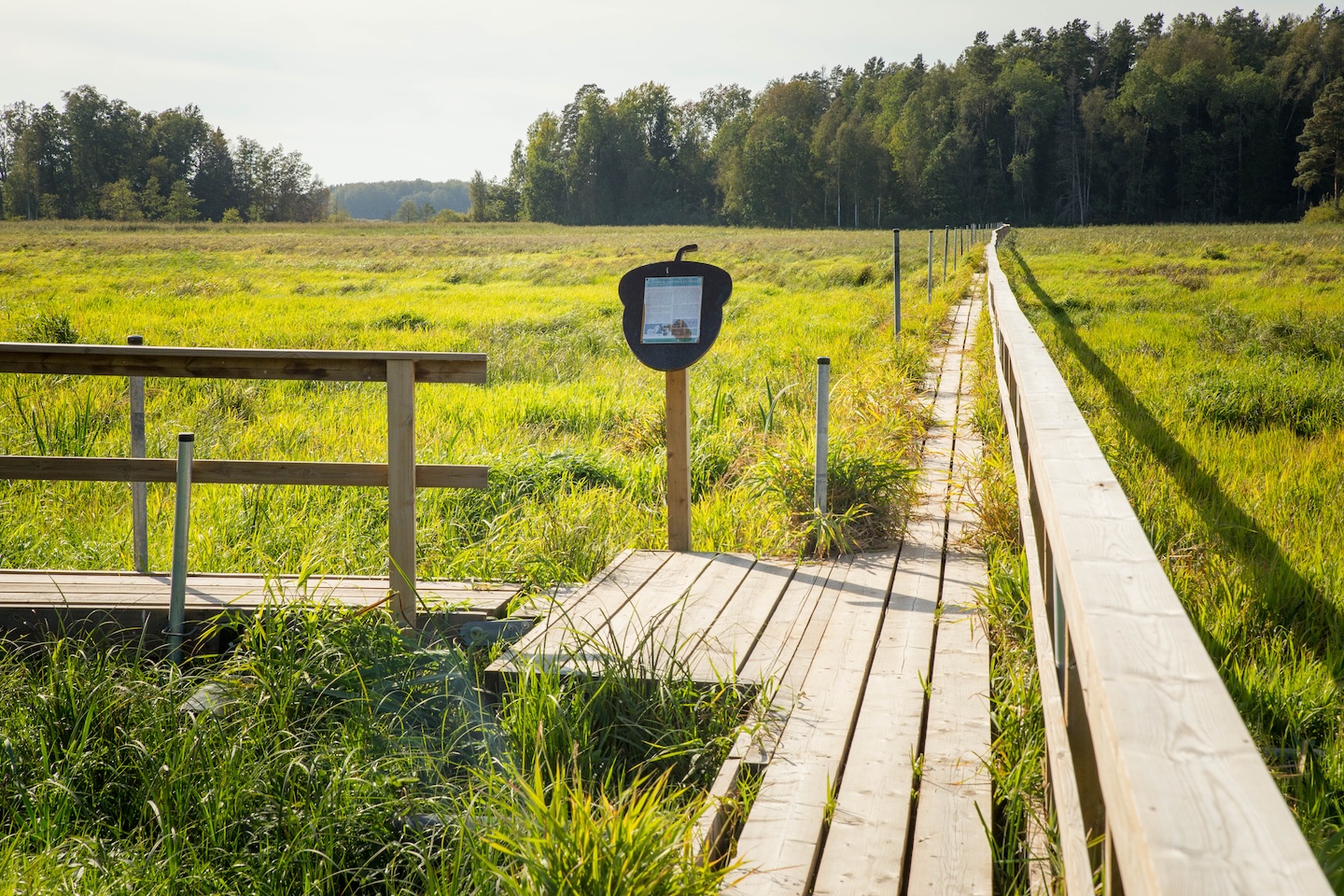
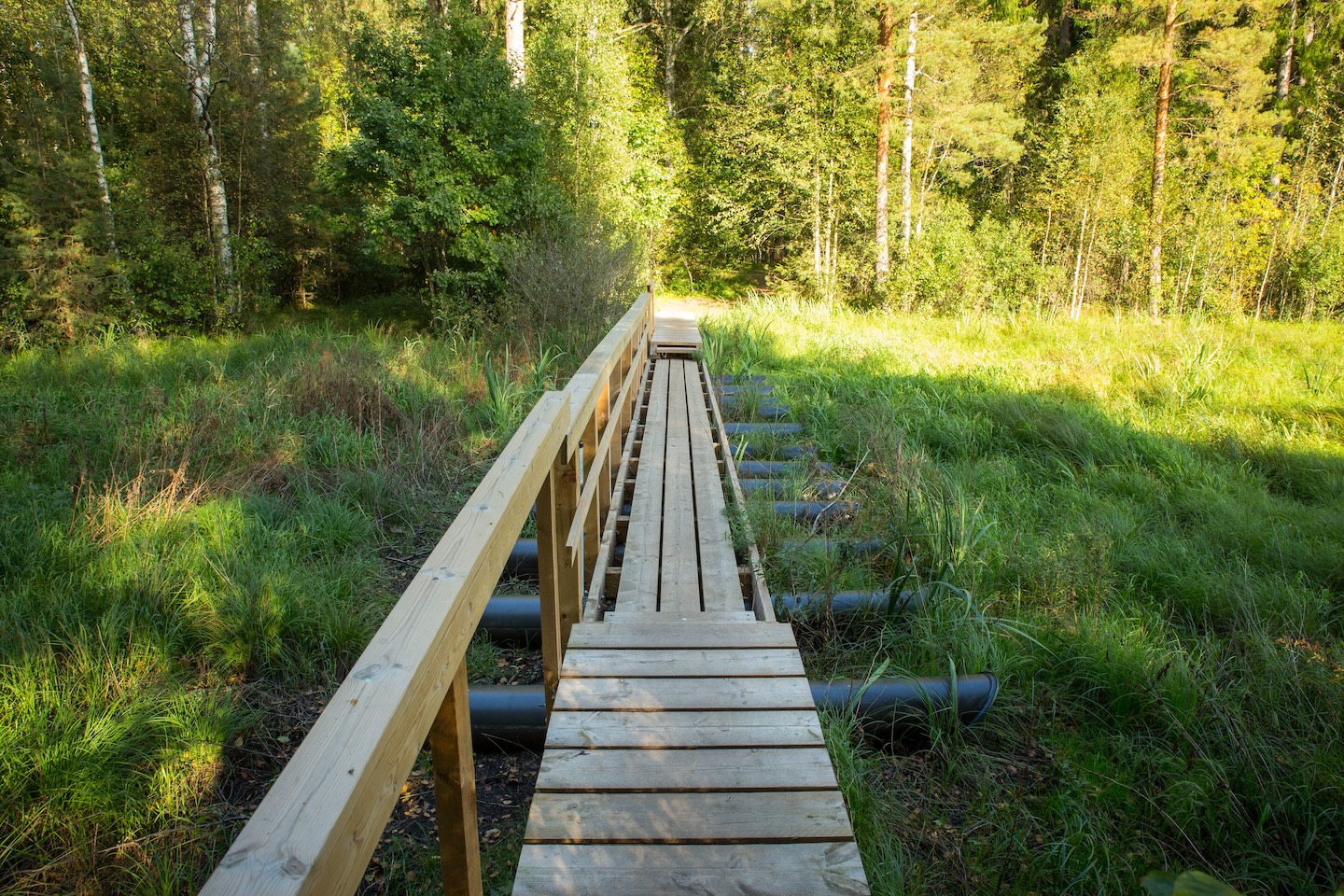
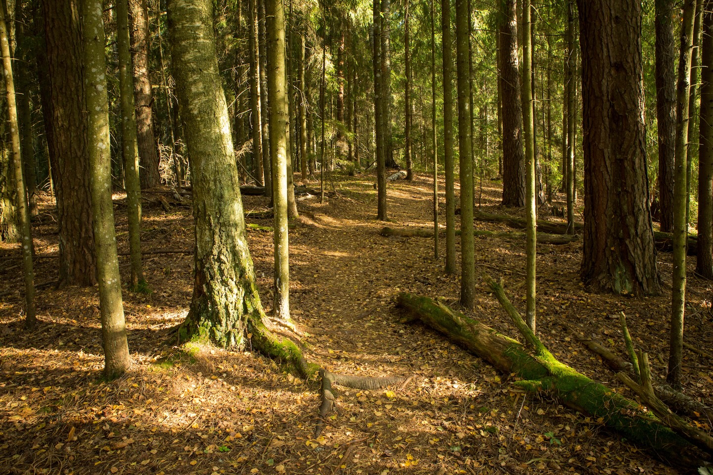
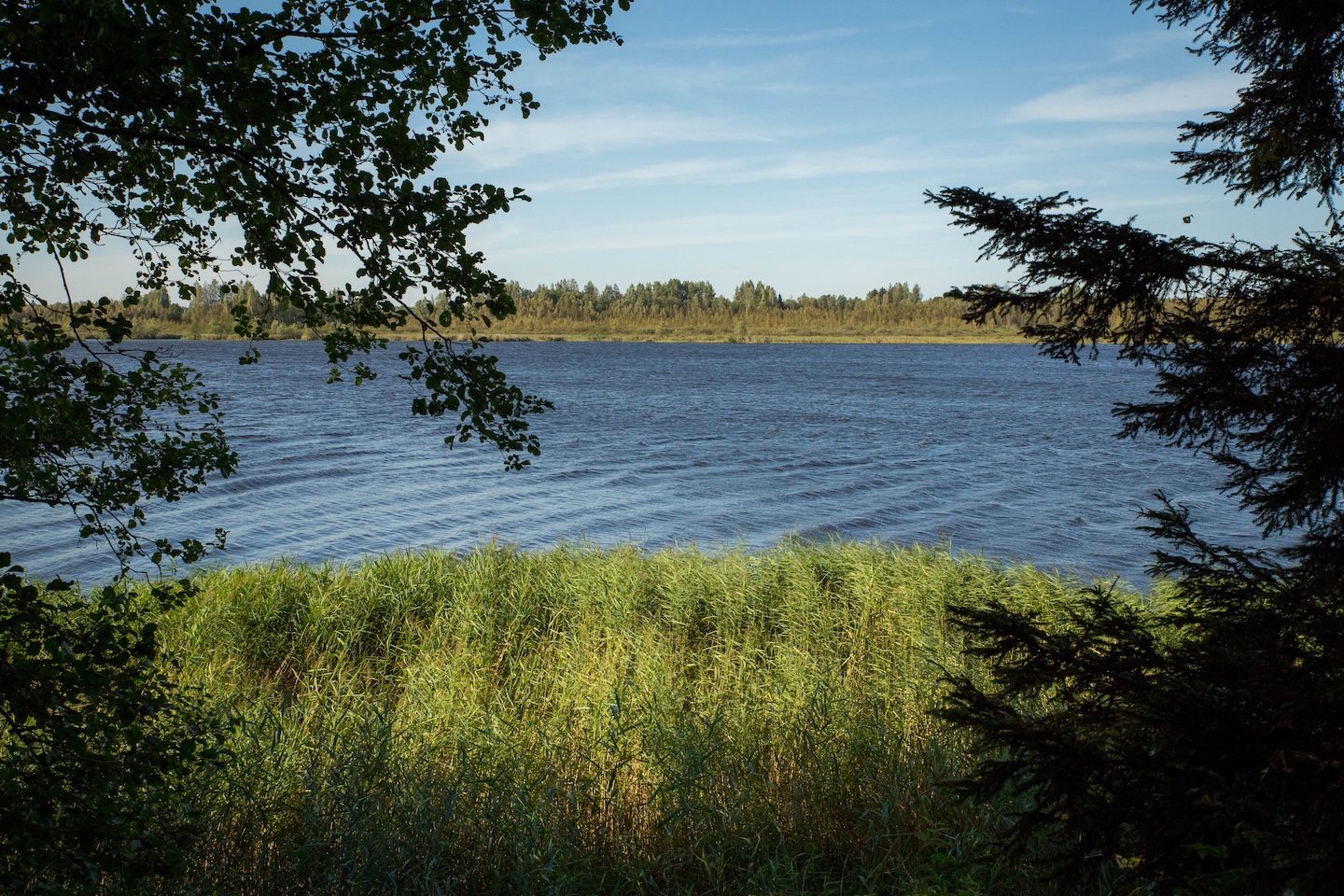
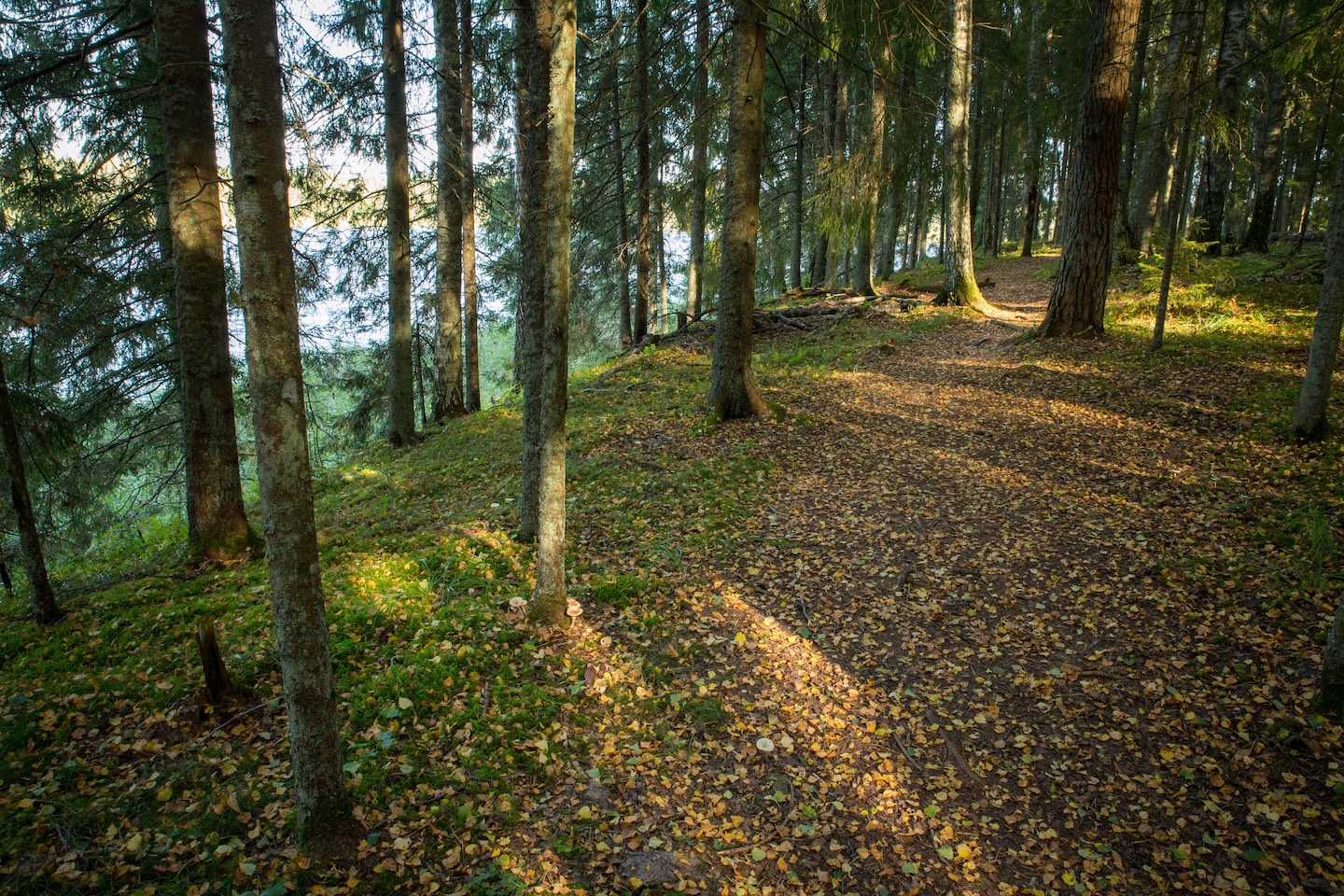
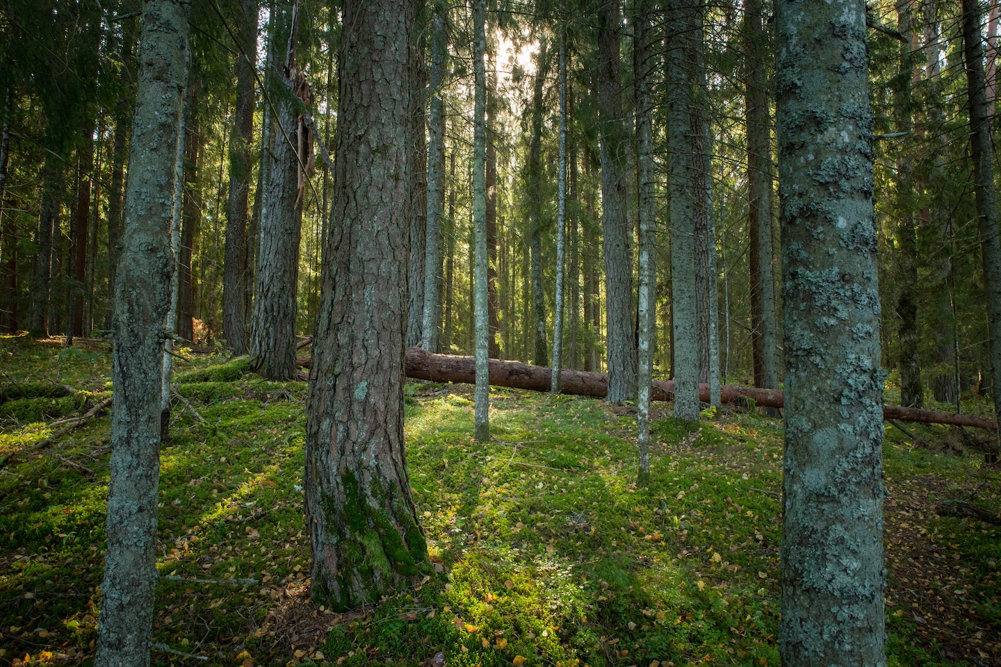
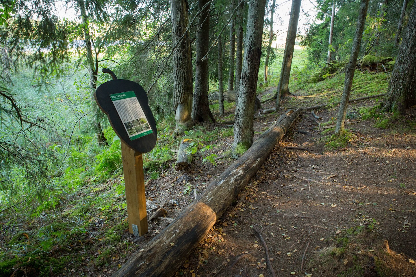
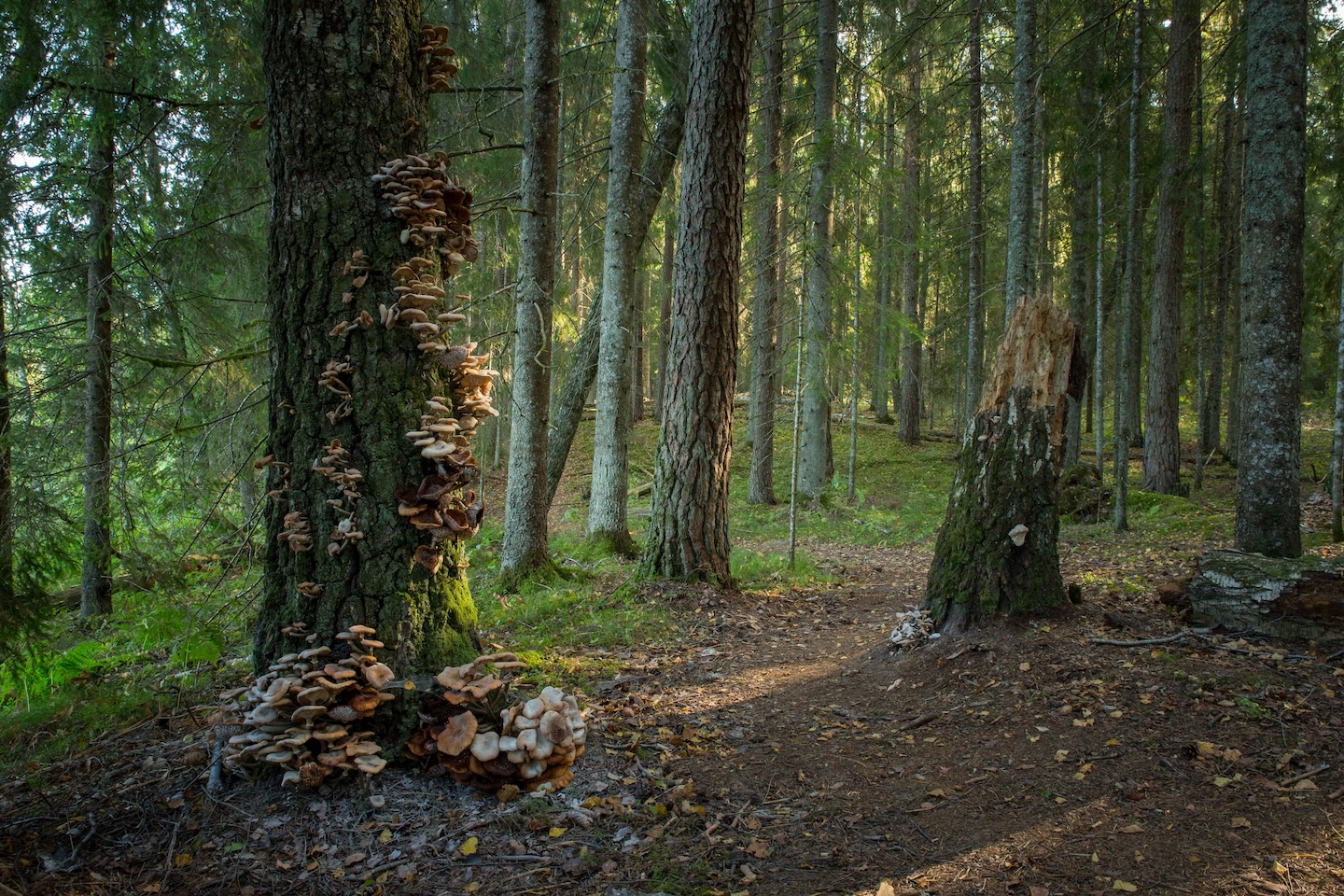
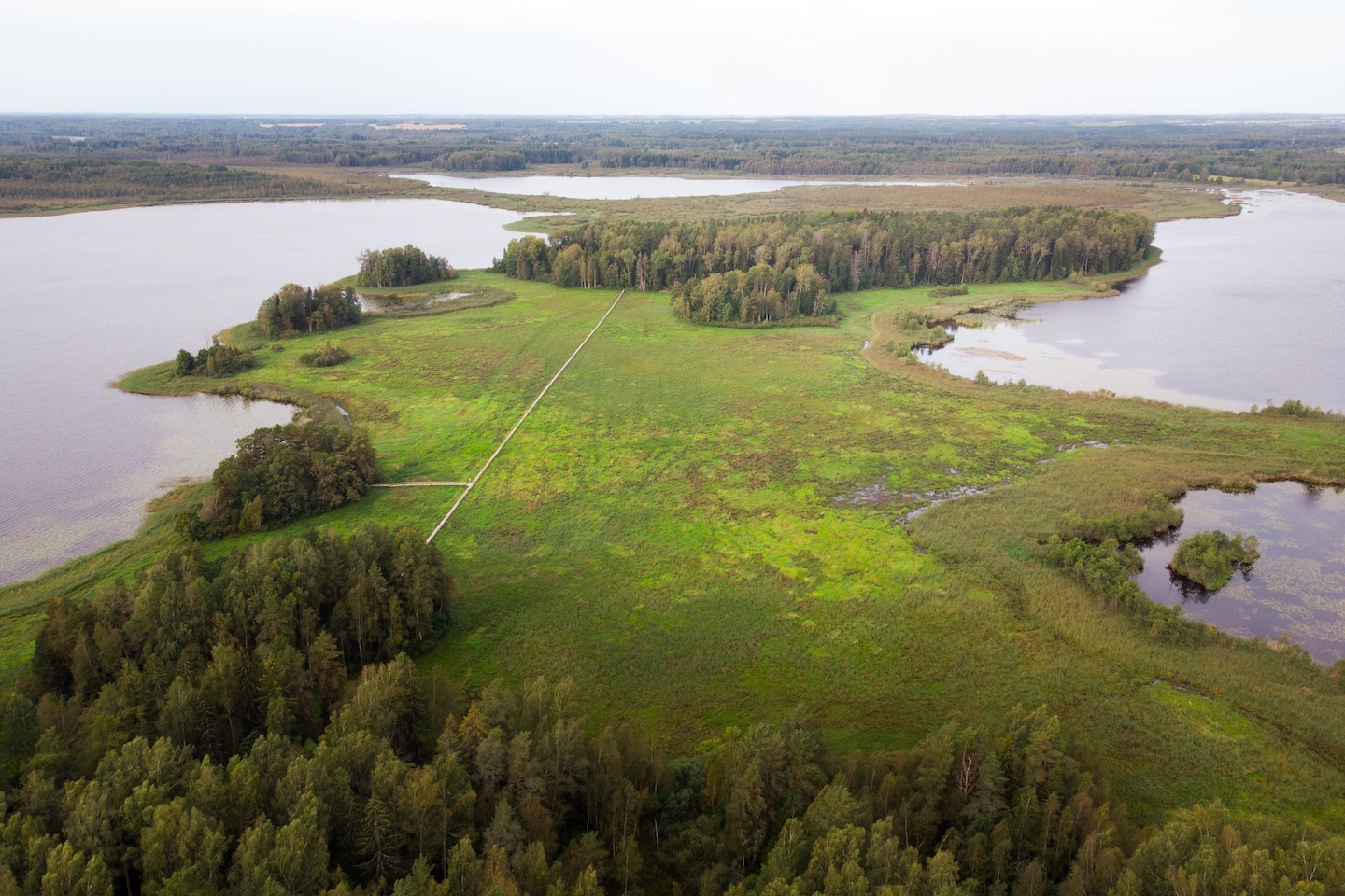
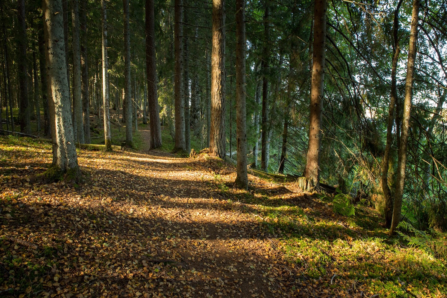
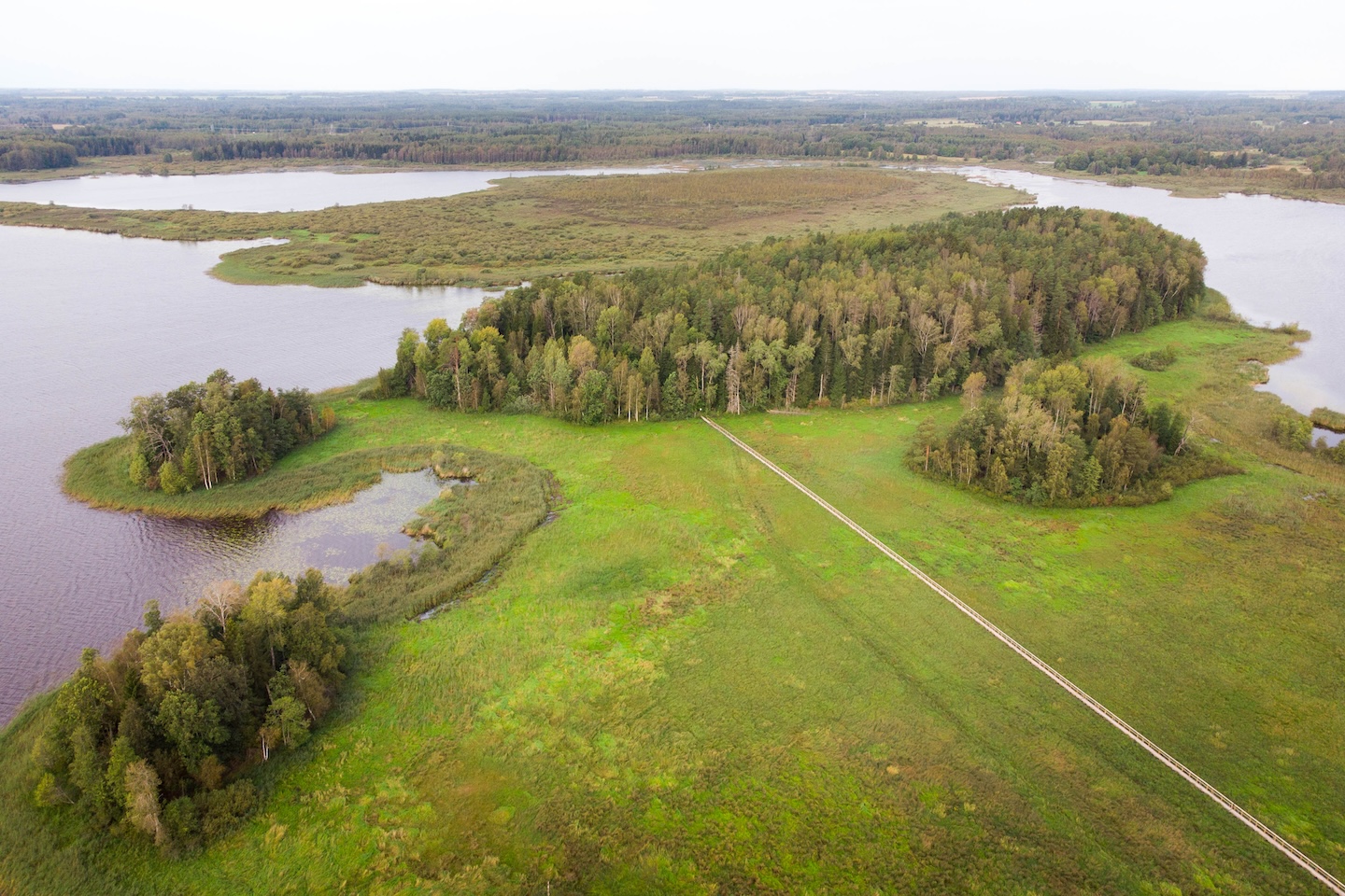
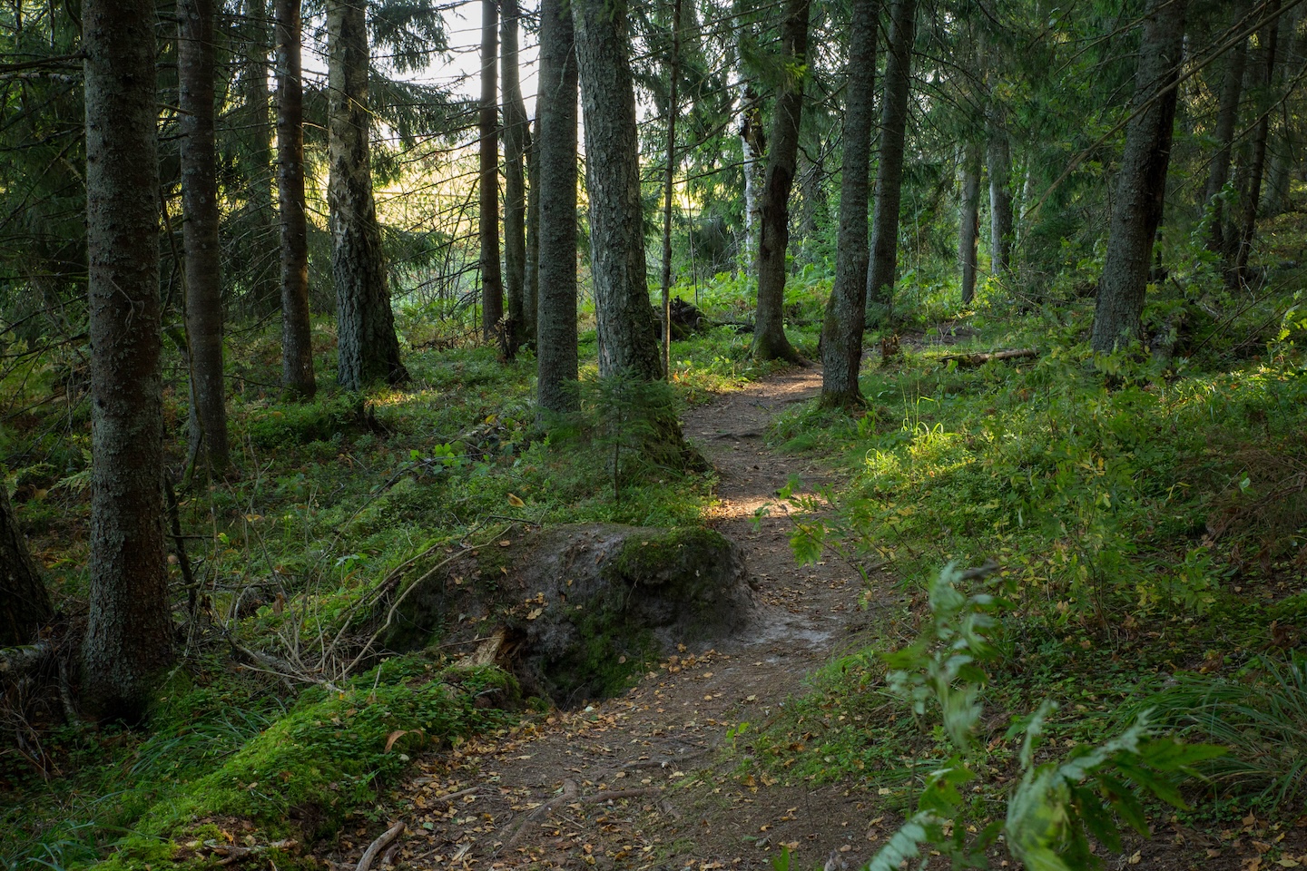
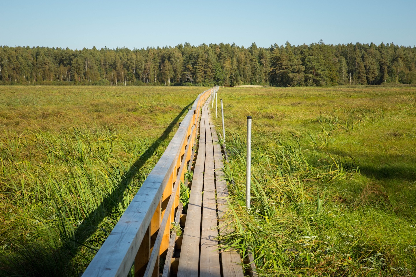
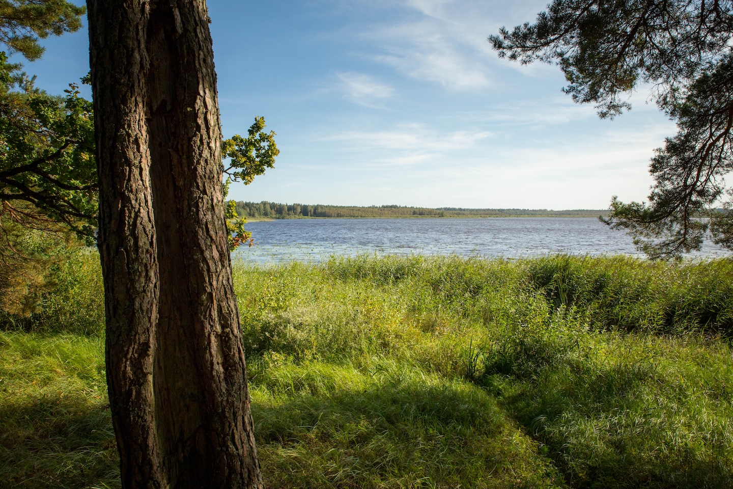
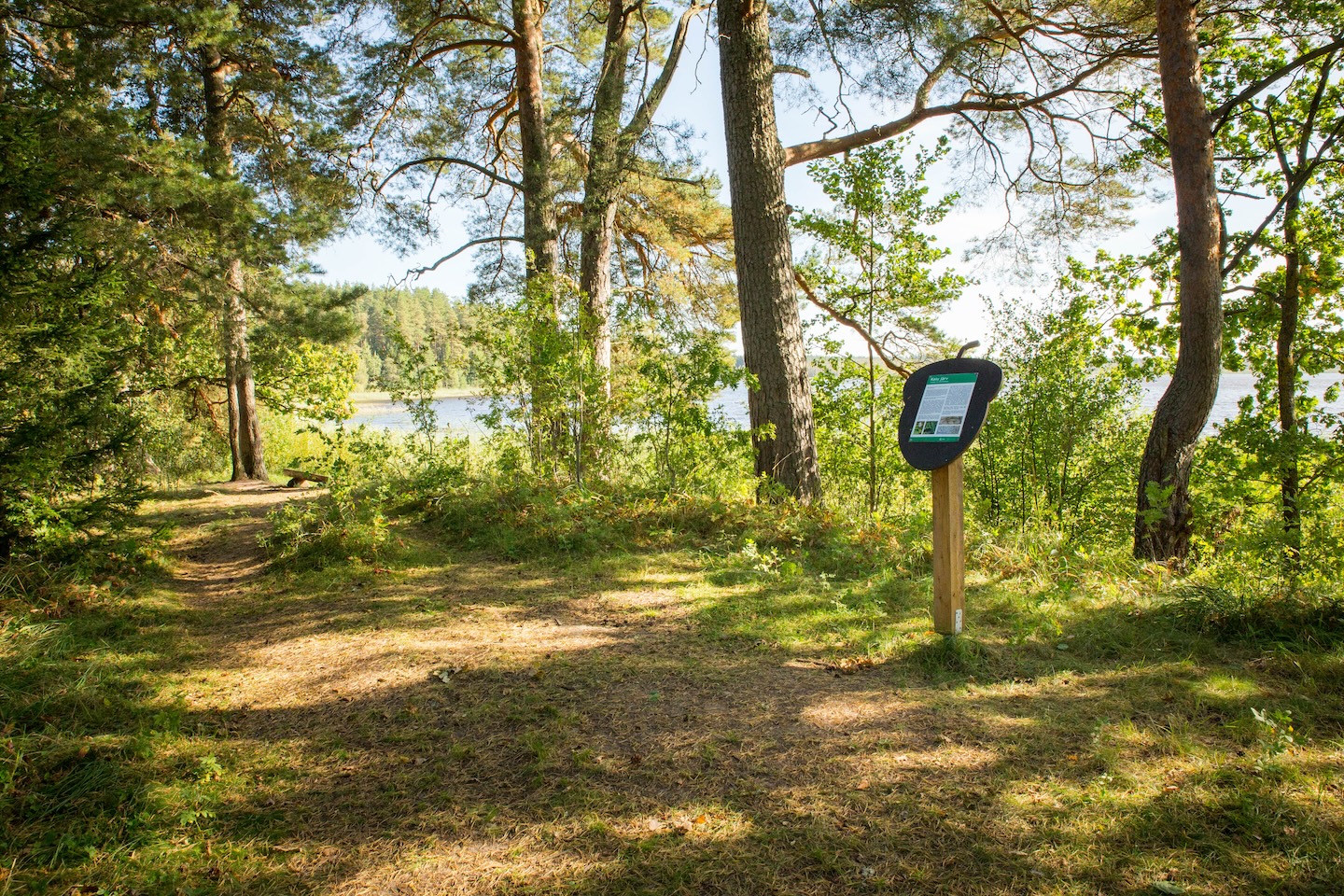
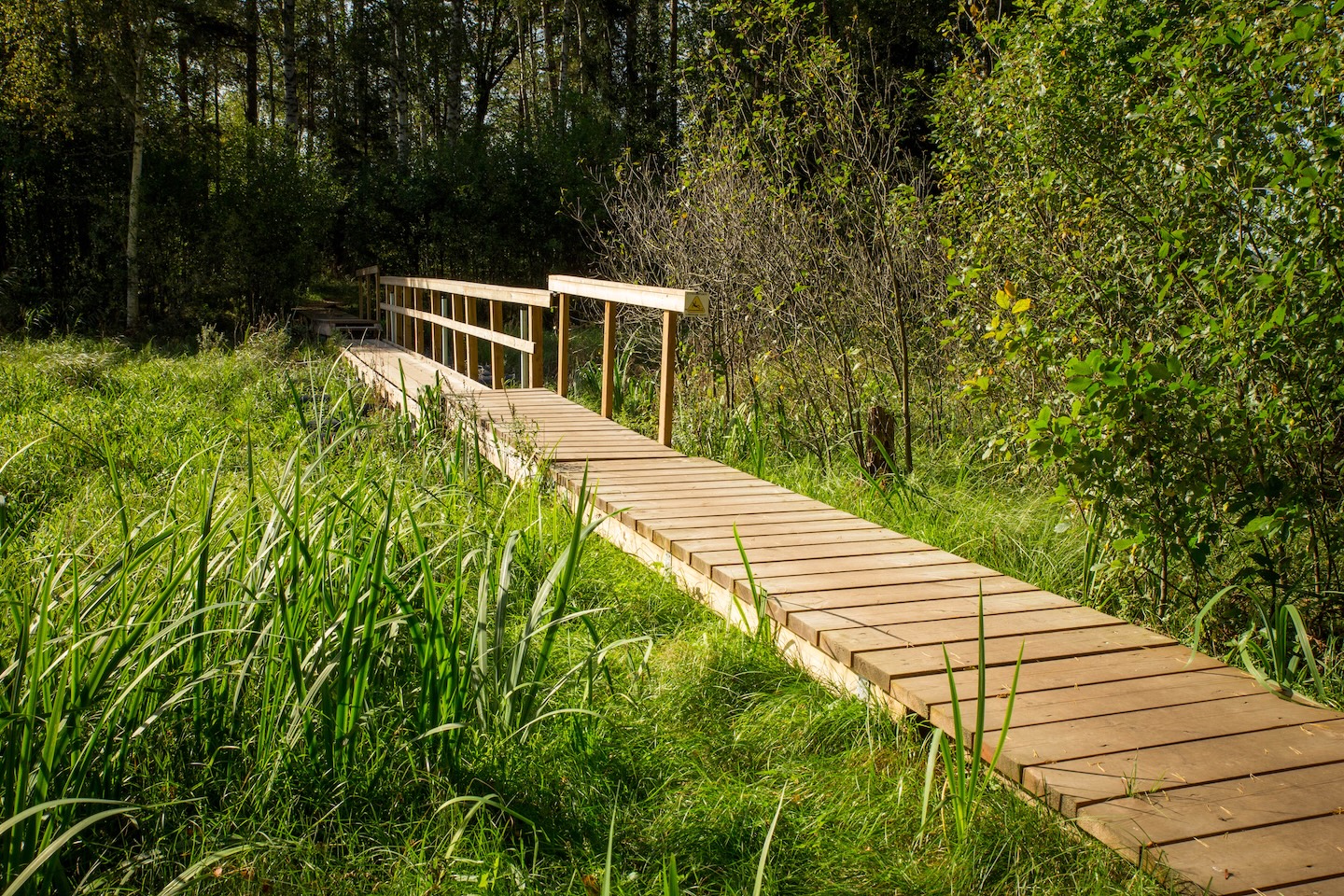
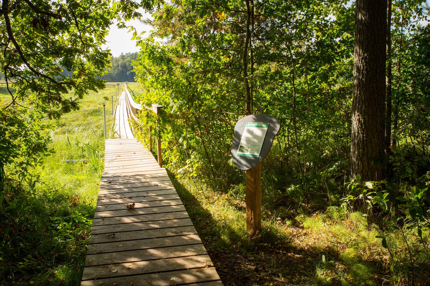
The 3 km long trail has 11 interest points introducing the surrounding lakes, lake floodplains, which are relatively rare in Estonia, and their biota, and Pedassaar, a higher piece of land between the floodplains with their characteristic forest vegetation and the mighty Emamänd (‘Mother Pine’). 600 m long boardwalk, built from Siberian-grown larch, leads to Pedassaar.
Sights
Floodplain meadow rich in species and the diverse forests of Pedassaare, Emamänd (‘Mother Pine’), the largest pine in the area
Camping
Tammeluha campfire site, Jõemõisa campfire site
Amenities
The hiking trail is marked with signs and runs across the floodplain meadow on a 600 m long boardwalk, built from Siberian-grown larch. There are 11 interest points introducing the surrounding nature along the trail
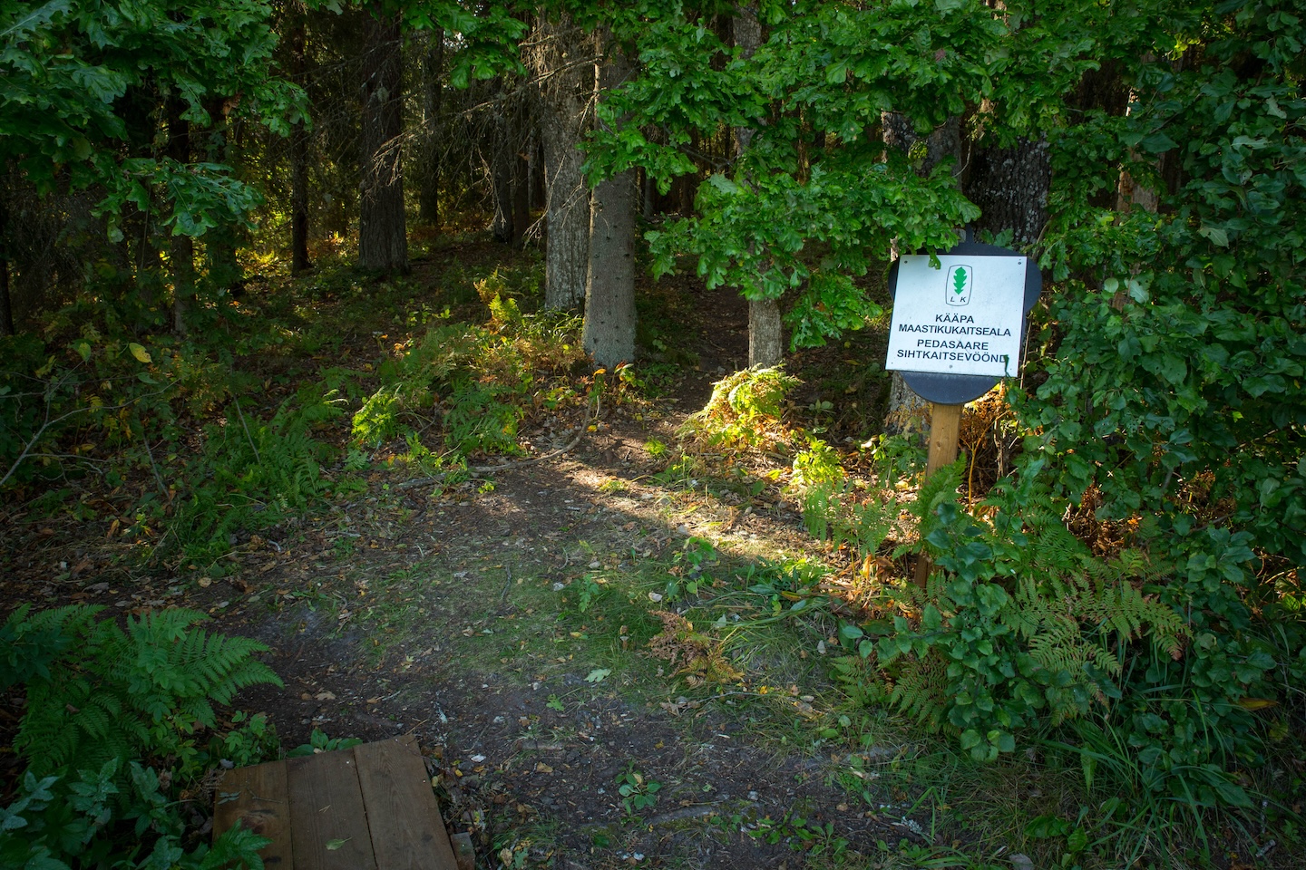
The hiking trail is situated in Kääpa Landscape Protection Area (Tammeluha limited management zone). Waterways of the protected area are restricted to non-motorised boating.
Camping and making campfire is allowed in designated places only. Planning public events with more than 20 participants and using motorised vehicles on the waters of the protected area requires prior consent from the protected area manager.
Further information can be obtained from the Environmental Board +372 662 5999, info@keskkonnaamet.ee
Contact
Telephone: +372 676 7030
E-mail: info.elistvere@rmk.ee
Object type: hiking trail
Location info
Location : Jõgeva County, Tartu-Jõgeva Recreation Area
Mustvee Municipality, Jõgeva County
Navigation instructions : Drive 33 km from Tartu towards Jõhvi, turn right towards Pala–Kodavere, 3 km after the Kaiu bus stop turn right onto the forest road (RMK signs). Drive 1.2 km, turn right, drive another 100 m until you arrive at the information board and the start of the hiking trail.
By clicking on the map it will open the map application larger in a new window.
Telephone:
+372 676 7030
E-mail:
info.elistvere@rmk.ee
Object type:
hiking trail
Location info
Location:
Jõgeva County, Tartu-Jõgeva Recreation Area
Mustvee Municipality, Jõgeva County
Navigation instructions:
Drive 33 km from Tartu towards Jõhvi, turn right towards Pala–Kodavere, 3 km after the Kaiu bus stop turn right onto the forest road (RMK signs). Drive 1.2 km, turn right, drive another 100 m until you arrive at the information board and the start of the hiking trail.