


Varbola stronghold
Võimalused
Foot-and-mouth, a severe animal disease, is currently circulating in Europe and also poses a threat to animals in Estonia. Your help is needed to prevent animals here – sheep, cattle, goats, and other ungulates – from becoming infected. We ask that you please follow some important recommendations.
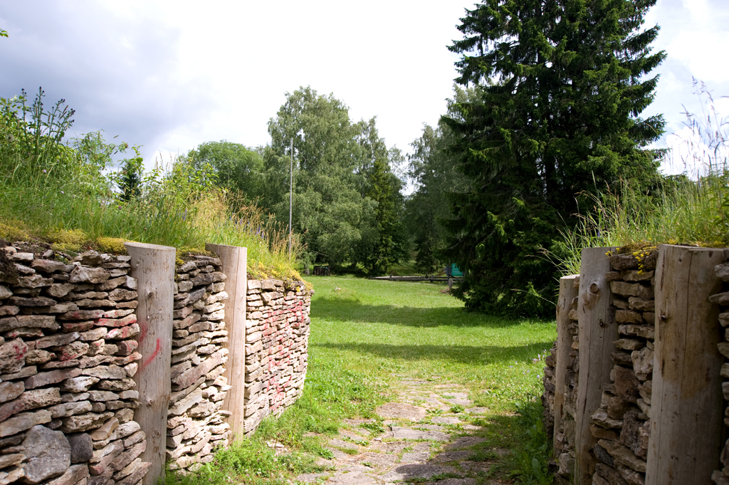
Varbola Stronghold is one of the largest ancient fortresses in Estonia. The yard, approximately 2 ha in size, is surrounded on all sides by a mainly limestone rampart supported by dry masonry and logs. The sides are covered by the debris caused by the collapse of the upper part. The total length of the rampart is 580 m. The height of the rampart on the outside is 7-10 m, on the inside it is 2-7 m.
The stronghold was used in the 12th and 14th centuries. In the 15th and 17th centuries, the stronghold’s yard was used as a cemetery. Numerous coins have been found since then, with most being sacrificial offerings.
Sights
Wall of the stronghold, stone-throwing catapult, siege tower, old well, oak stand
Amenities
2 campfire sites, 2 recreation sites with shelter, open-air stage with shelter, 80 benches, 3 information boards
At the parking area there are 2 two-stall toilets, 2 information boards with general information and the layout map of the stronghold.
Parking
2 parking areas for 120 cars in total
Additional information
Before going on a nature walk please read the rules of conduct


By clicking on the map it will open the map application larger in a new window.
Long-Lat WGS 84
Latitude: 59.039811
Longitude: 24.505736
L-EST 97x: 529032.1
L-EST 97y: 6544659.7