


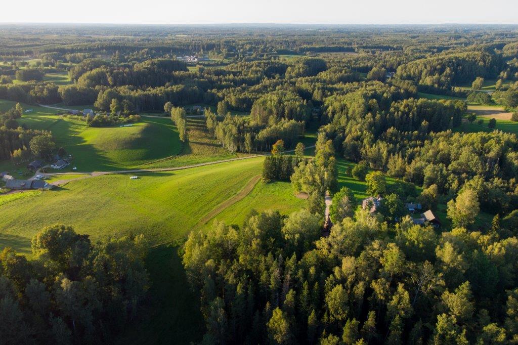


Karula long hiking trail (36 km)
Võimalused
Foot-and-mouth, a severe animal disease, is currently circulating in Europe and also poses a threat to animals in Estonia. Your help is needed to prevent animals here – sheep, cattle, goats, and other ungulates – from becoming infected. We ask that you please follow some important recommendations.
The hiking trail runs through Karula National Park and has no marked starting or end point. The circular trail is marked with signs leading to both directions; however, it is advisable to move counter-clockwise. The trail is marked with yellow blazes on trees, plastic hiker pictograms on sign posts and tin signs along major trail sections.
Sights
The nature, cultural heritage and history of Karula.
Camping
Veski, Plaagi, Mäekonnu and Rebasemõisa campfire sites and Suuremäe campfiresite
Amenities
3 information boards, 2 piers, boardwalk, a wooden bridge that can be crossed with a transport vehicle along the 36 km trail. The trail passes Veski, Plaagi, Mäekonnu and Rebasemõisa, Peräjärve campfire sites and Suuremäe campfiresite
Additional information
Before going on a nature walk please read the rules of conduct. You can see the trail scheme here.
Restrictions
The long Karula hiking trail is situated in Karula National Park. Further information can be obtained from the Environmental Board +372 662 5999, info@keskkonnaamet.ee


By clicking on the map it will open the map application larger in a new window.
Long-Lat WGS 84
Latitude: 57.7124683
Longitude: 26.5051262
L-EST 97x: 649297
L-EST 97y: 6399498