VõimalusedHiking trail/Hiking OptionsCampingCovered fireplaceMaintenance during summer
Ida-Viru County, Peipsi põhjaranniku Recreation Area
Announcement!
The Agriculture and Food Board warns about the spread of avian influenza. Please stay away from dead birds outdoors and ensure that your pets do not come into contact with them. NB! If you find a dead bird, do not touch it or move it anywhere! Please report it to the Agriculture and Food Board by calling 605 4767 or 1247.
The Narva-Jõesuu campfire site is located on the RMK Hiking Route, at the 17th kilometre of the Mummassaare–Narva extension of the trail, which connects the Penijõe-Aegviidu-Kauksi branch with Narva-Jõesuu and Narva. In this way, Estonia’s easternmost cities are also linked to the RMK Hiking Route. The new section of trail has a length of 36 kilometres. The wooded area here is known as Auga Park Forest, the southwestern part of which is Auga Forest, and was most likely named after the locality of Auga. It has been a well-known swimming spot and summer destination in Narva-Jõesuu. The forest behind the town is ideal for recreation and walking, is easily accessible and, at the same time, as diverse as possible while offering exhilarating experiences. A majority of the area is the habitat type for lingonberries, on which pine stands can be found growing. A few spruce stands can be found only in the northwestern part of the area. The pine stands are up to 220 years old. There is hardly any undergrowth; although, in the more fertile areas, there are spruces, junipers, and rowans. This is a community forest, where forest management takes place under conditions agreed upon by the community and the local government. In the middle of the area are protected key habitats.
Sights
Auga Forest, sand dunes, Narva-Jõesuu resort town, beach
Amenities
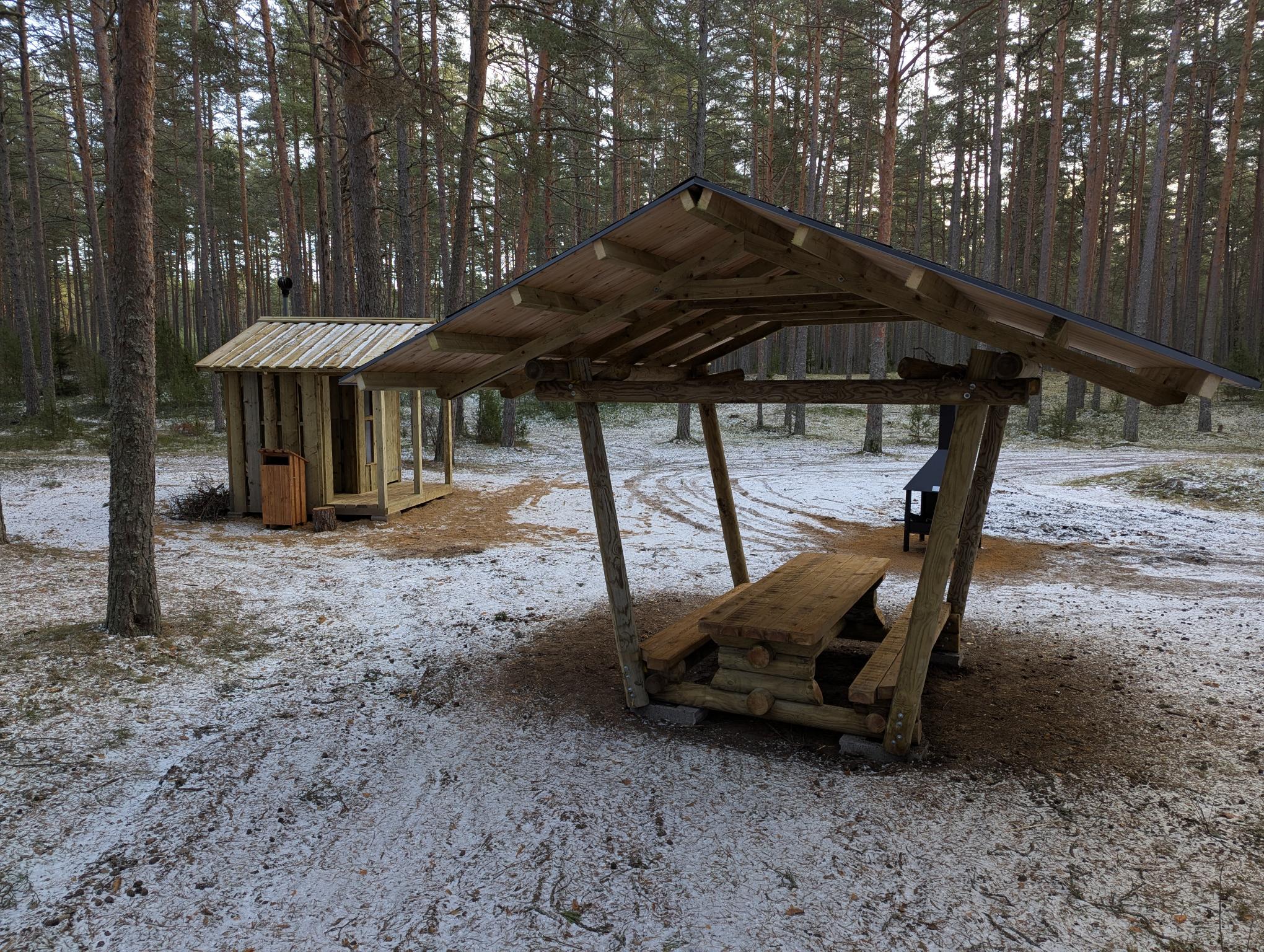
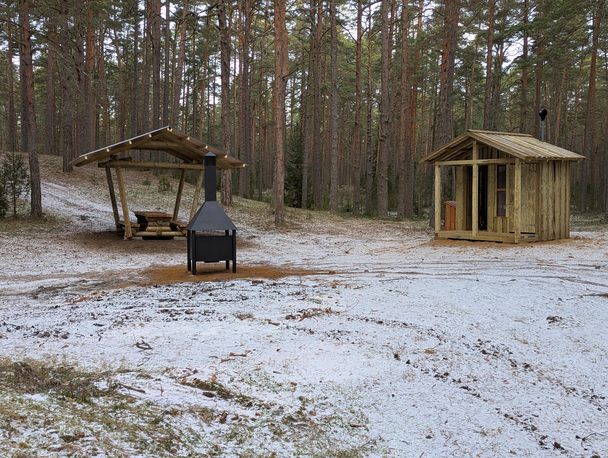
Covered fire pit, covered table-bench, dry toilet, and information board