Penijõe-Aegviidu-Kauksi 613 km
In 2018, the centenary year of the Republic of Estonia, the third RMK hiking route Penijõe–Aegviidu–Kauksi was opened. The three existing routes now form a network of hiking trails, where hikers can choose the beginning and the end of their journey and, for example, hike from Oandu to Penijõe as all the branches of the hiking route meet at Aegviidu.
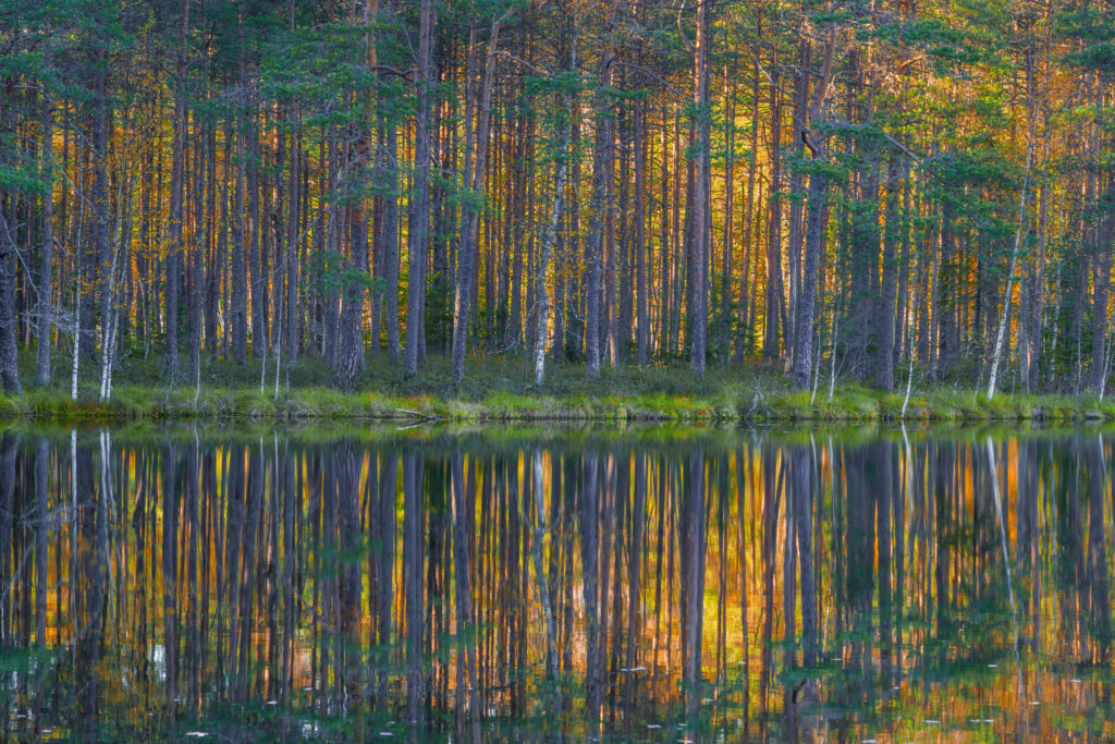
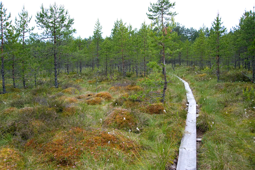
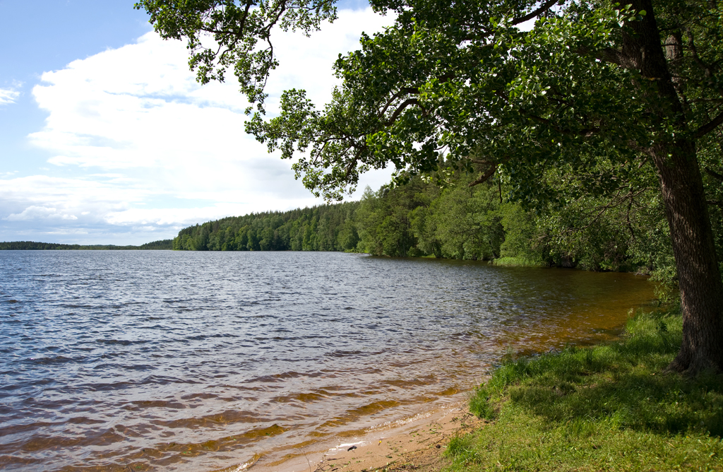
The 613-km RMK Penijõe–Aegviidu–Kauksi hiking route, which runs on its way through six counties, starts at Penijõe manor in Matsalu National Park and goes through the open flood meadows of the Kasari river towards Rapla County, where it meanders between bogs, large forests, ancient forts and fields towards Harju County, Paunküla hills and finally to Aegviidu, the capital of hiking.
The longer part of the new route, however, is to the east of Aegviidu. In Lääne-Viru County, the route runs along narrow and high eskers over the Neeruti hills, through abandoned military bases to Tudu wetland area at the border of Ida-Viru County.
In Ida-Viru County, the view on the route changes considerably: there are the industrial landscapes of Kiviõli and Püssi with the semicoke and ash hills, the former open quarry of Aidu and the mining park and museum of Kohtla-Nõmme. Also the tall semi-coke plateaus of Kohtla-Järve can be seen from the route.
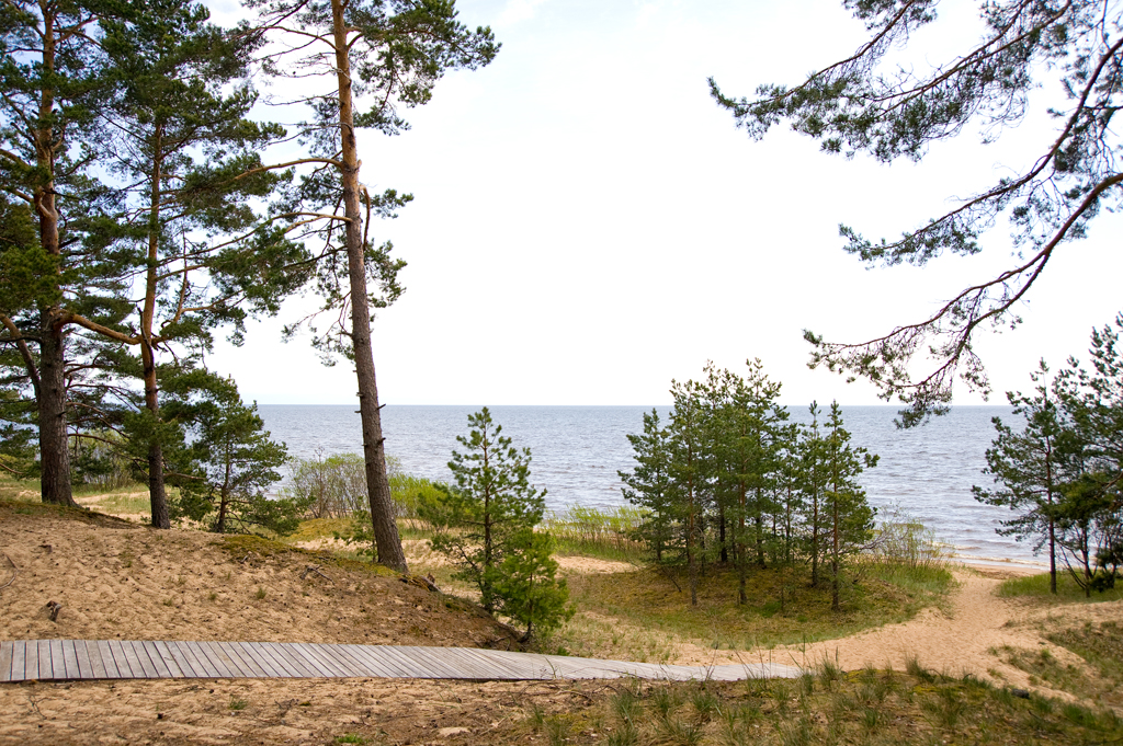
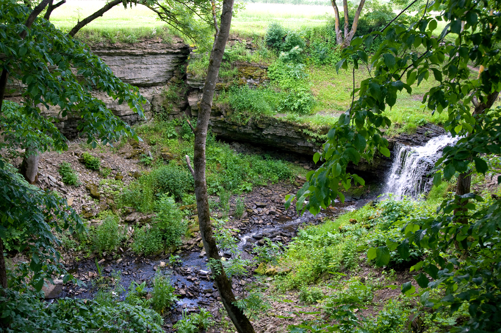
On the northern coast, the hiking route goes on and under the high coastal klint and visits Estonia’s highest coastal escarpment at Ontika and highest waterfall at Valaste, offering scenic views on the sea and the forest at the foot of the klint, as far as Sillamäe.
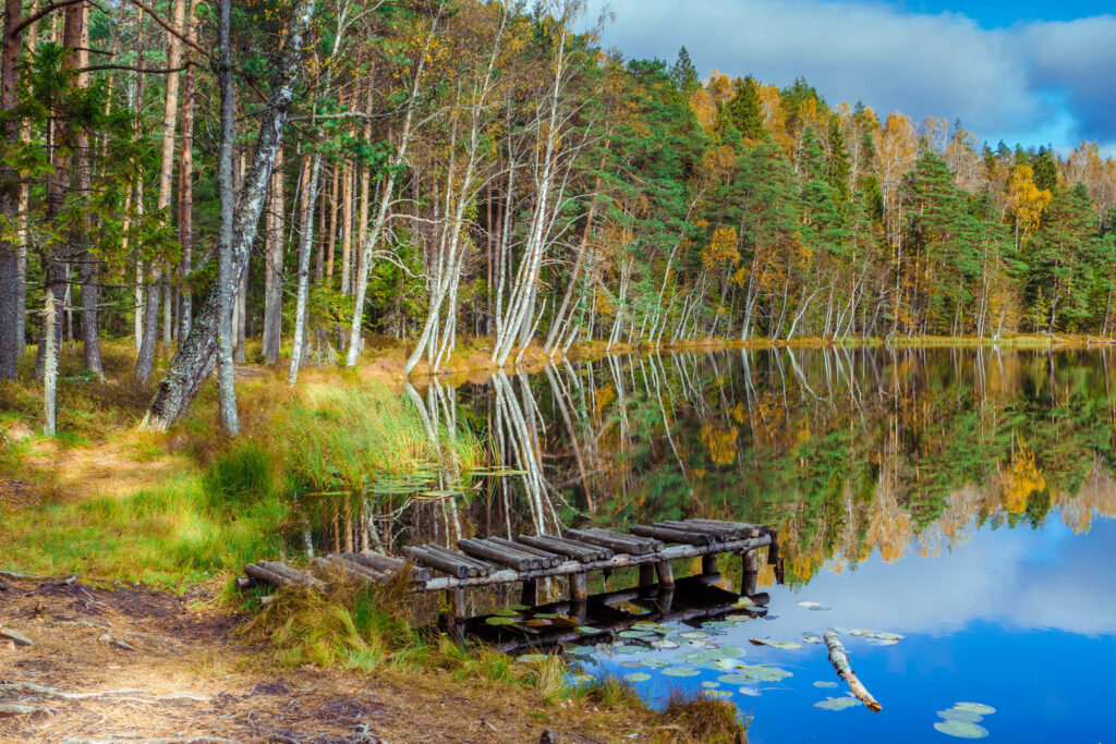
The trail eventually turns to the south and goes through the former battlefields of the Battle of Tannenberg Line and the neglected mining settlements, past the Kurtna lakes, through the forests of Agusalu and Alutaguse to the end point at Kauksi on the northern shore of Lake Peipus.
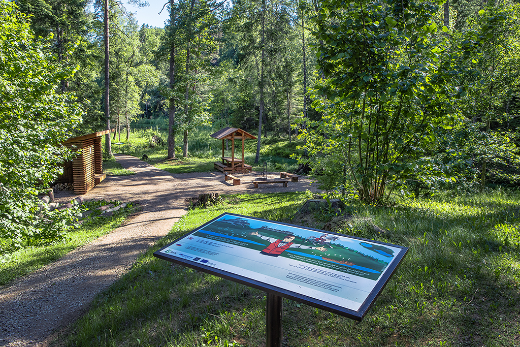
The trail is signposted and marked with white-yellow-white paint marks.
Additional materials
File for GPS devices
Trail in gpx format suitable for Garmin GPS devices (to load this file in your GPS we suggest BaseCamp, you can download it from Garmin’s homepage):
Road sections
Section I Penijõe-Varbola (84 km)
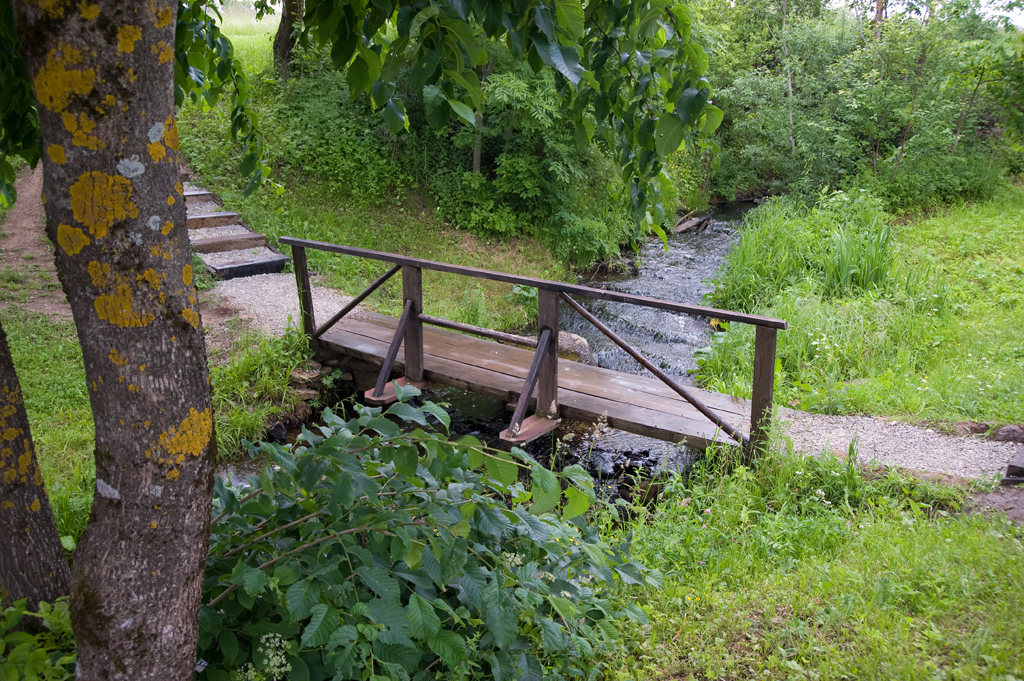
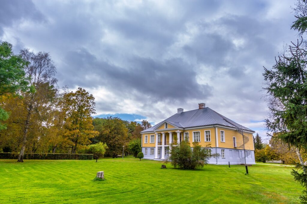
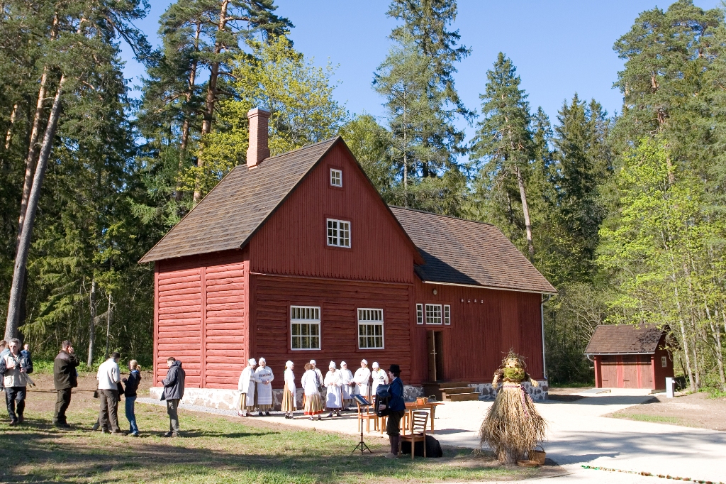
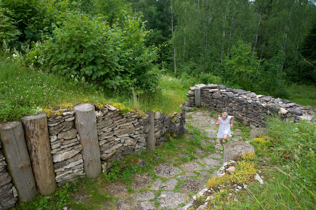
The route starts at the Visitor Centre of Matsalu National Park at Penijõe and runs along existing roads and paths towards Varbola. On the way one can see the scenic flood meadows of the Kasari river, where tens of thousands of birds migrating through Estonia stop over during spring and autumn migration seasons. Then there is the former trackbed running to Virtsu, and the karst areas of Märjamaa. Next, the hiking route travels on ancient coastal formations to Varbola stronghold, which is one of the largest forts in Estonia and was used from the 12th to 14th century. The route also goes through the parks of several well-known or less known manors.
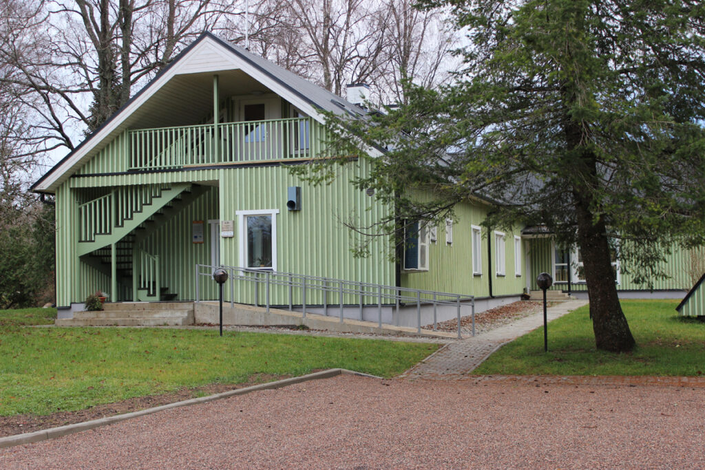
Visitor Centre Matsalu National Park Visitor Center
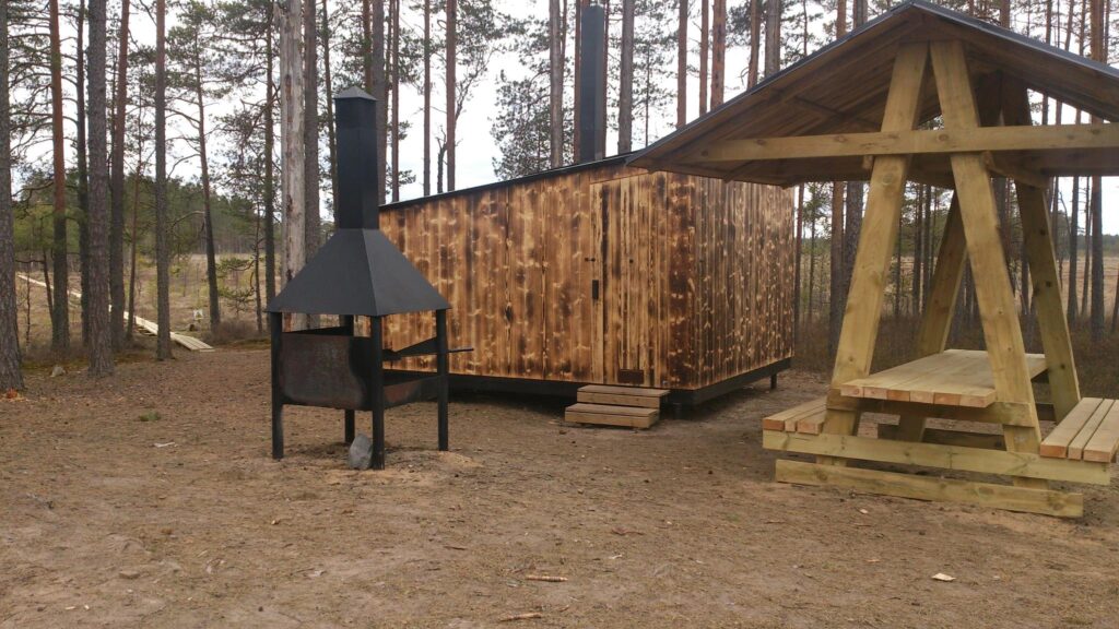
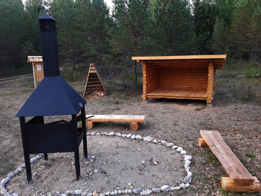
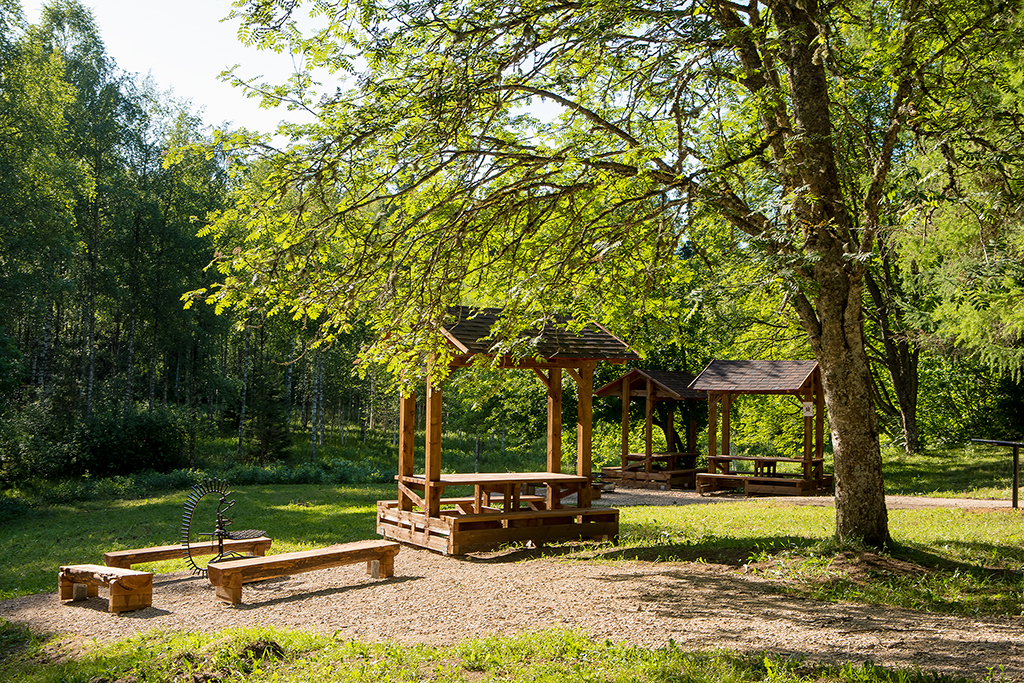
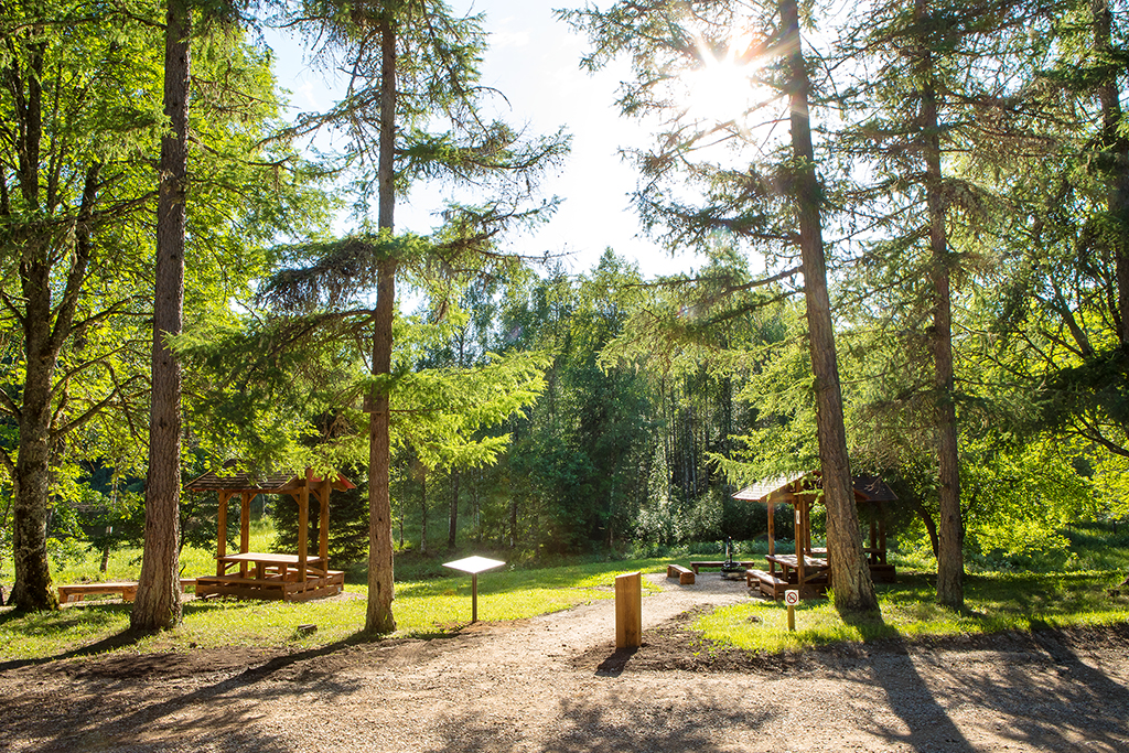
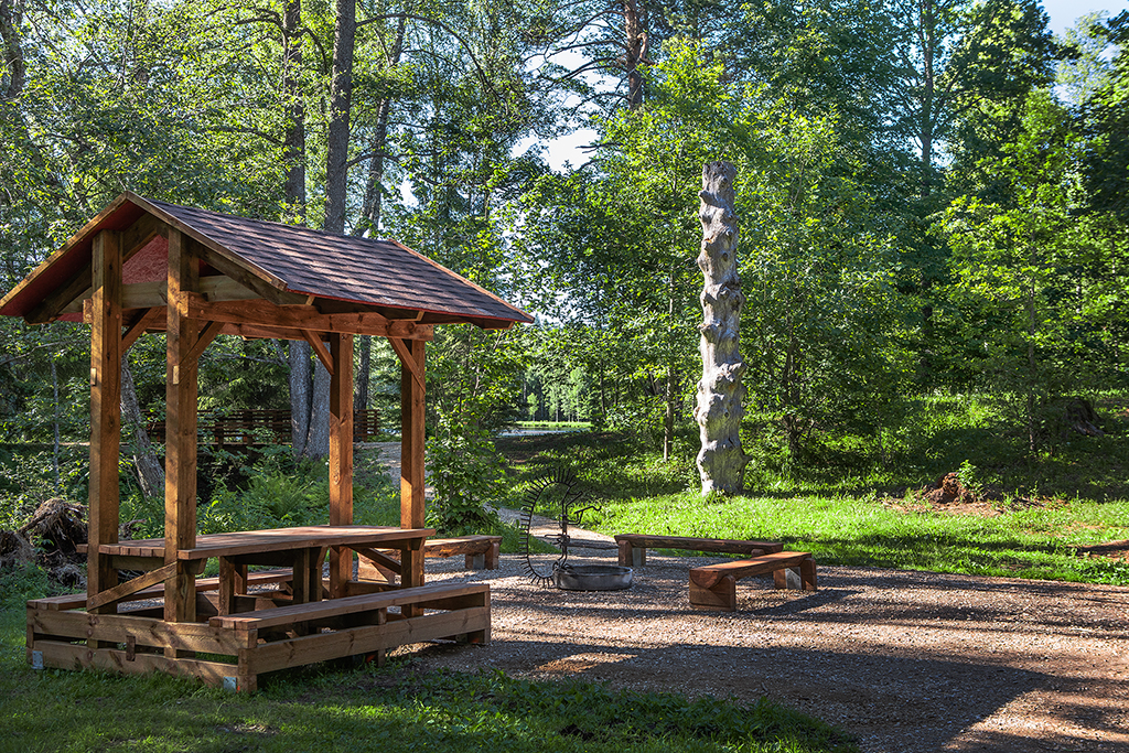
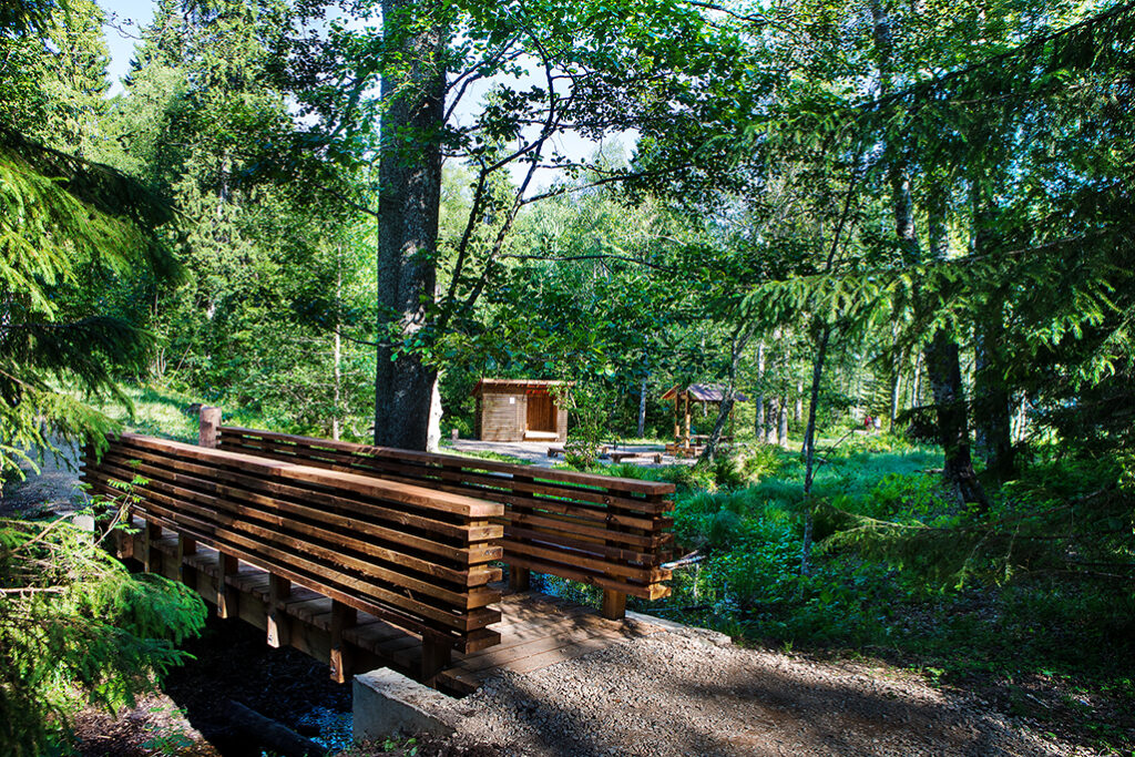
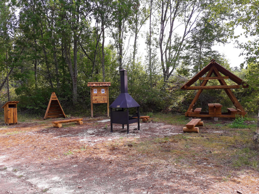
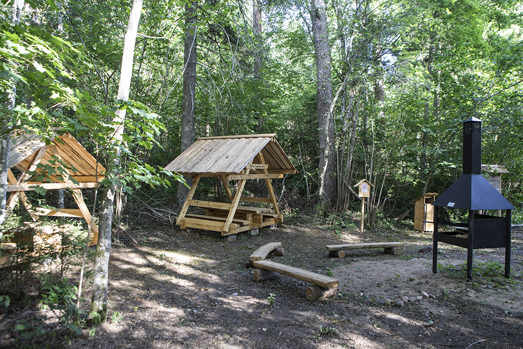
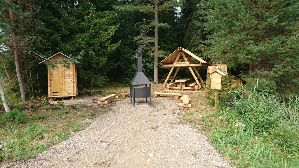
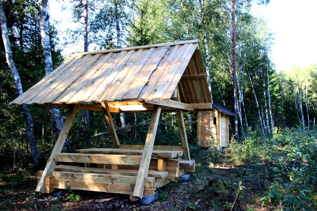
Campfire site Penijõe campfire site, Rumba campfire site, Hirvepargi campfire site, Susla campfire site, Kõrvetaguse campfire site
Hiking trail Penijõe hiking trail (3,2-7 km)
Other Varbola stronghold
Campsite Varbola stronghold campsite
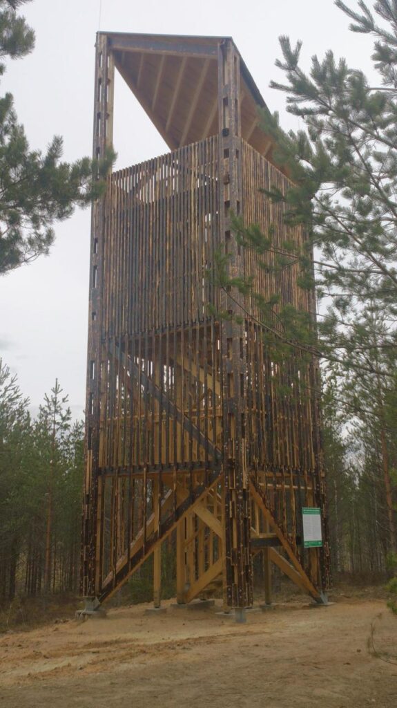
Observation Tower Kloostri observation tower , Penijõe observation tower
Section II Varbola-Aegviidu (134 km)
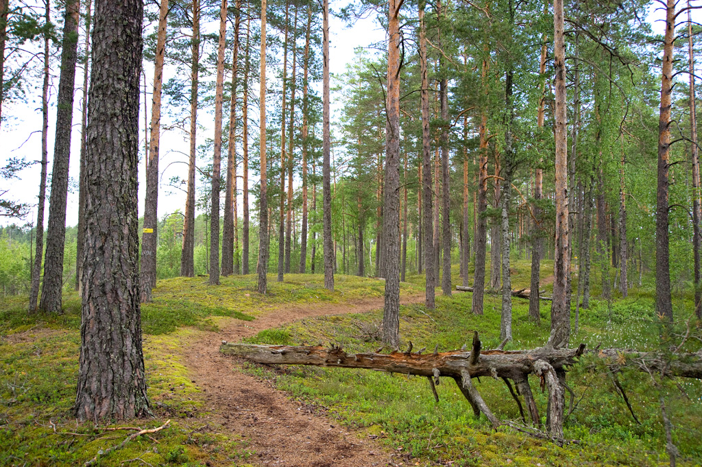
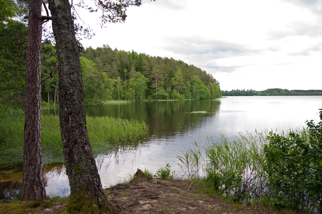
In Rapla County, the hiking route goes through the Rabivere and Kõnnu bogs that extend between the small towns of Hageri and Hagudi. Both bogs are located in a hollow and bordered by plateaus. Next, the trail runs through Kohila municipality and the Naisteraba bog in Mahtra Nature Reserve to Paunküla hills in Harju County, where hikers can walk up and down the eskers that were formed during the post-glacial period and offer a pleasant change from the flat terrain. After Paunküla, the trail takes the hiker to Aegviidu, where all the three routes of the RMK hiking trail meet.
Visitor Centre Aegviidu Visitor Centre
Campfire site Paunküla campfire site, Voose campfire site, Rabivere campfire site, Järlepa campfire site, Naisteraba campfire site
Hiking trail Paunküla hills hiking trail (total length 12 km)
Other Varbola stronghold
Campsite Varbola stronghold campsite
Section III Aegviidu-Roela (106 km)
From Aegviidu, the trail runs further in Lääne-Viru County, past the town of Tapa to Ohepalu and Neeruti villages, goes through Porkuni village and through the former Soviet missile base territory to the cone dryer at Roela.
Visitor Centre Aegviidu Visitor Centre
Campfire site Roela campfire site, Tõõrakõrve campfire site, Ohepalu campfire site, Tissipuu campfire site, Mardihansu campfire site, Rocket Base campfire site
Nature trail Neeruti nature trail (1,5 km ja 3,5 km)
Information point Roela Cone Hut Museum
Campsite Nikerjärve campsite, Eesjärve campsite
Section IV Roela-Mummassaare (156 km)
Going through Tudu forests, the hiking route arrives at Ida-Viru County. The urban part of the trail starts near Uljaste: it goes through the small towns of Sonda and Kiviõli to Püssi. Next, the hiking route takes you through the former Aidu quarry and the Kohtla-Nõmme mining museum to the sea, where it is possible to enjoy amazing views of the Ida-Viru industrial landscapes. The hiking route runs along the northern coast to Toila park and from there, through Voka park to Sillamäe, and to Mummassaare campfire site in Udria Landscape Reserve.
Campfire site Roela campfire site, Uljaste campfire site, Aidu-Liiva campfire site, Aidu-Nõmme campfire site, Alulinna campfire site, Langevoja campfire site, Toila campfire site, Mummassaare campfire site
Hiking trail Uljaste hiking trail (3,8 km)
Other Oru park
Information point Roela Cone Hut Museum
Study trail Seljamäe study trail (7 km)
Section V Mummassaare-Kauksi (133 km)
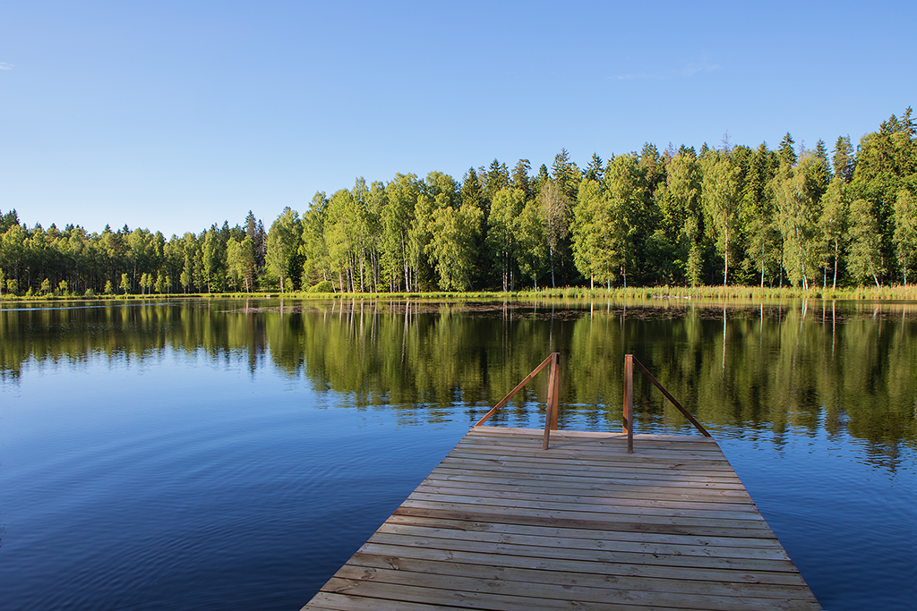
The last section of Penijõe–Aegviidu–Kauksi hiking route starts at the sea on the northern coast of Estonia, goes past the Kuremäe Convent, then along forest roads to Iisaku, heading to Kotka hiking trail and then further to the inland sand dunes (kriivas) of Agusalu. Next, the trail runs past large mires to Lake Peipus, and along the northern shore of the lake to Kauksi.
Visitor Centre Alutaguse National Park Visitor Center
Campfire site Liivjärve campfire site, Rääkjärve campfire site, Martiska campfire site, Jõuga lakes campfire site, Iisaku hill campfire site, Kõrtsikraavi campfire site, Rüütli campfire site, Agusalu campfire site, Mummassaare campfire site
Hiking trail Kurtna hiking trail (9 km), Kotka hiking trail (6,7 km)
Forest hut Seljandiku forest hut
Campsite Konsu campsite, Uusküla campsite, Kauksi campsite
Observation Tower Iisaku observation tower